Isola 2000: Lac de Tavels
Hiking maps show no marked trails to Lac de Tavels (2240 m). Situated 4 km southeast of Isola 2000 inside the Mercantour National Park, the lake is surrounded by several beautiful peaks close to the Italian border. Tête du Claus, north of the lake is the highest at 2897 m.
The lake (there are actually two but the smaller one was dry during our visit) is much less visited than the Terre Rouge Lakes above Isola. The shortest itinerary from Isola 2000 goes via Col Mercière (2342 m). More demanding unmarked routes via Italy involve steep mountain passes.
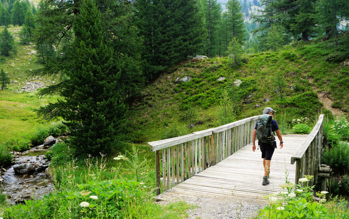 |
| Footbridge above Isola2000 |
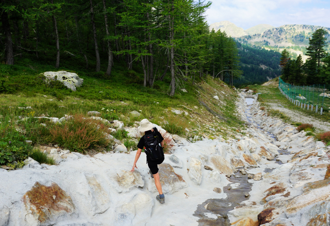 |
| Shortcut above Isola2000 |
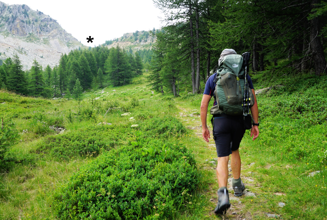 |
| Towards Col Mercière |
 |
| Signpost at Col Mercière |
 |
Vallon Mercière
|
We took the shortest route to Col Mercière via ski slopes, then passed a big water reservoir before joining the wide gravel track up to the Col. The trail via Vallon du Terre Rouge (signposts #91, 92 and 95) is more interesting but a bit longer.
The southern flanks of Col Mercière and Tête Mercière comprise vast Alpine meadows, also used as pasture ground. We followed the winding wide marked trail, although there were both man and animal made paths on the incline, making shortcuts possible.
We descended about 300 m vertically in Vallon Mercière, finally in the woods. At a sharp bend (44°10'01.6"N 7°11'44.7"E) at about 2070 m elev., we located the path to the lake. We forked left, and found out that the narrow trail had been marked with cairns. We ascended steeply to the lake. We were met by complete tranquillity. The landscape was pristine but very rocky.
 |
| Trail south of Col Mercière |
 |
| Chamois in Vallon Mercière |
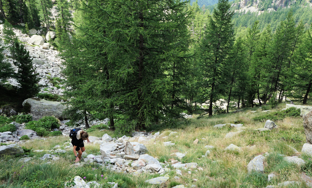 |
| Steep climb to Lac de Tavels |
 |
| Approaching Lac de Tavels |
 |
| Just before Lac de Tavels |
After a break we wanted to explore a shorter unmarked route directly back to Col Mercière. We knew from other descriptions that this option was possible, and we had seen some hikers using it. In fact, there were cairns placed in the rocky terrain west of the lake, but in most places the path was barely visible. The boulders got bigger, and we proceeded very carefully along the steep flank. Near some old bunkers, we decided to descend to the grassy meadow below us and found a pleasant path back to Col Mercière.
For average hikers, we can’t recommend the uncomfortable return trail on the rocky incline. We would use the same trail both ways in spite of slightly more vertical climb.
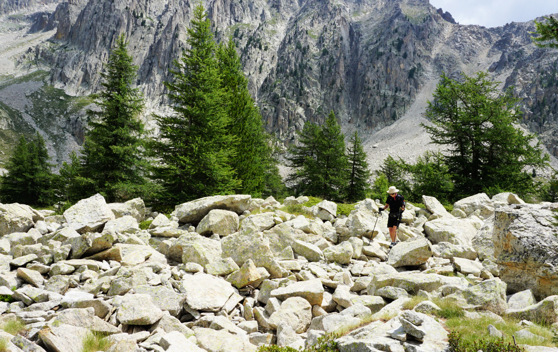 |
| Rocky terrain west of Lac de Tavels |
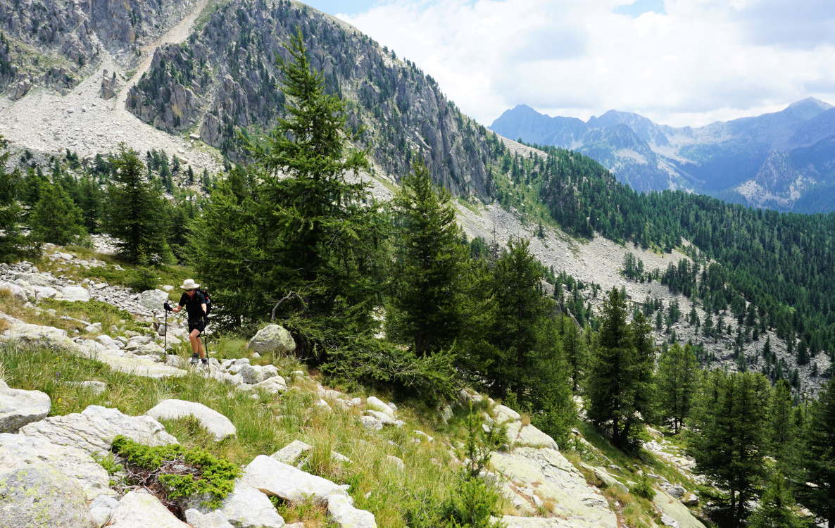 |
| Incline west of Lac de Tavels |
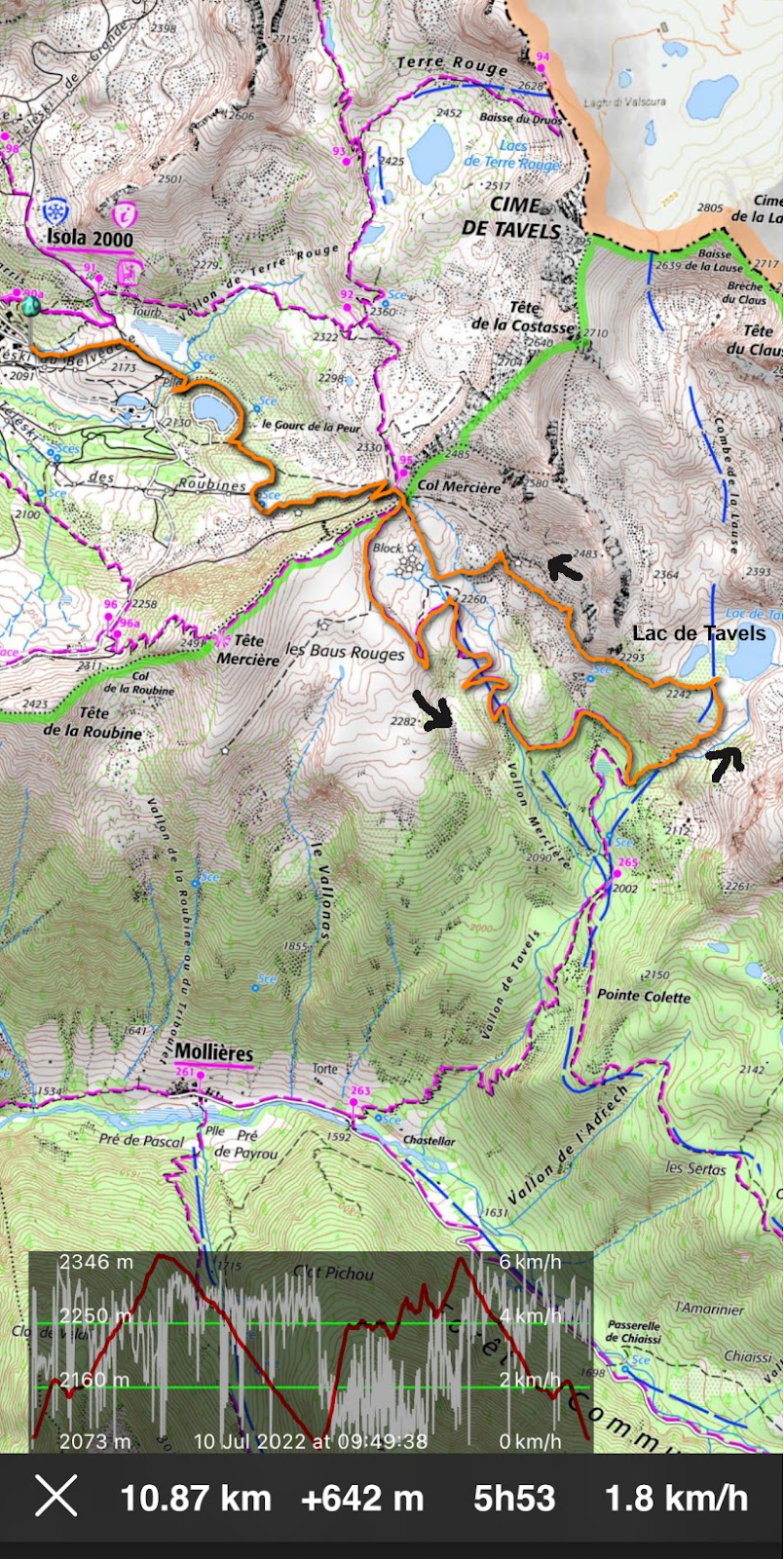 |
| Lac de Tavels hike track |
Map: ET 3640 ET Haute Tinée 2 Isola 2000


0 comments:
Note: only a member of this blog may post a comment.