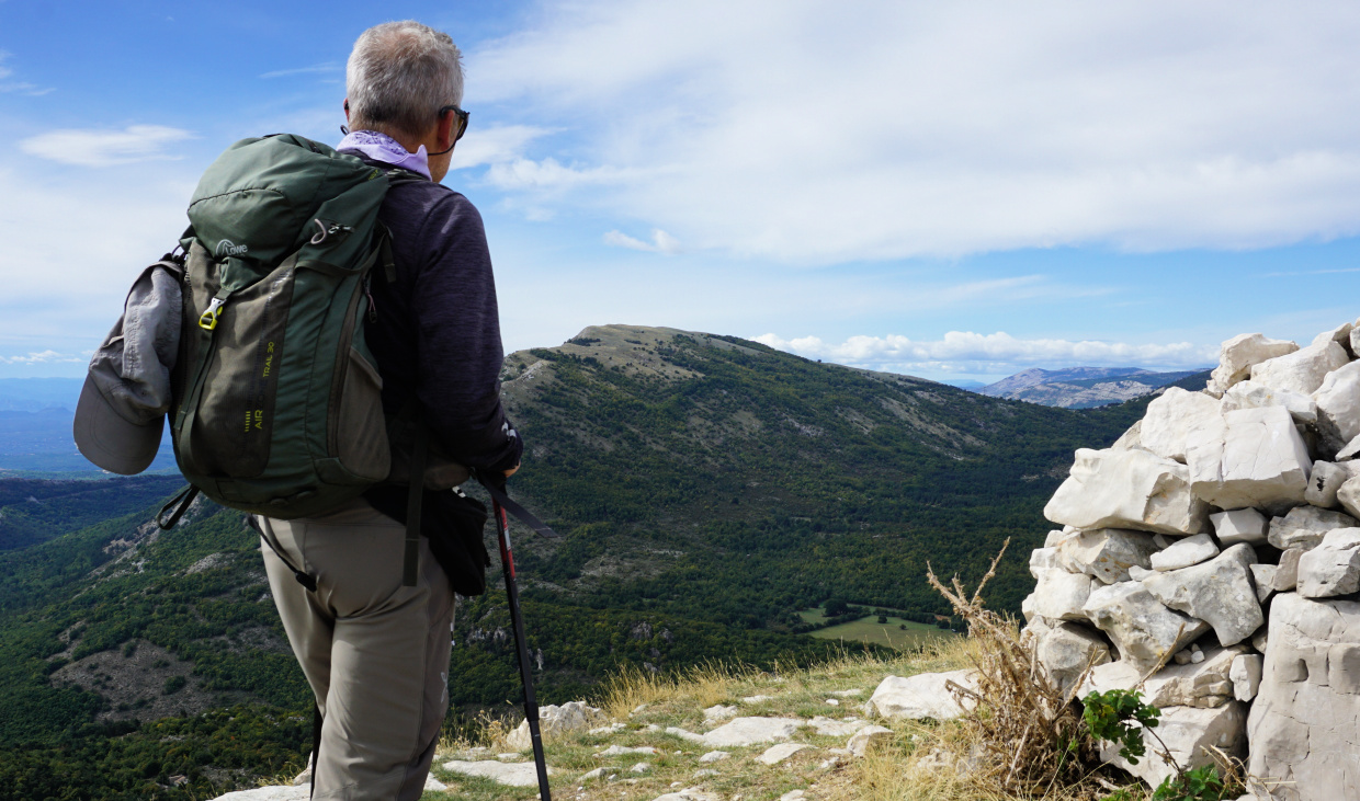
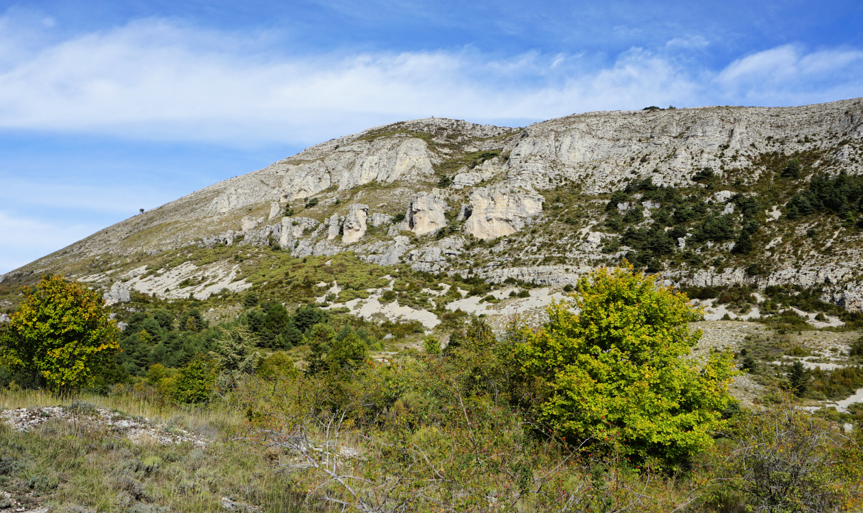
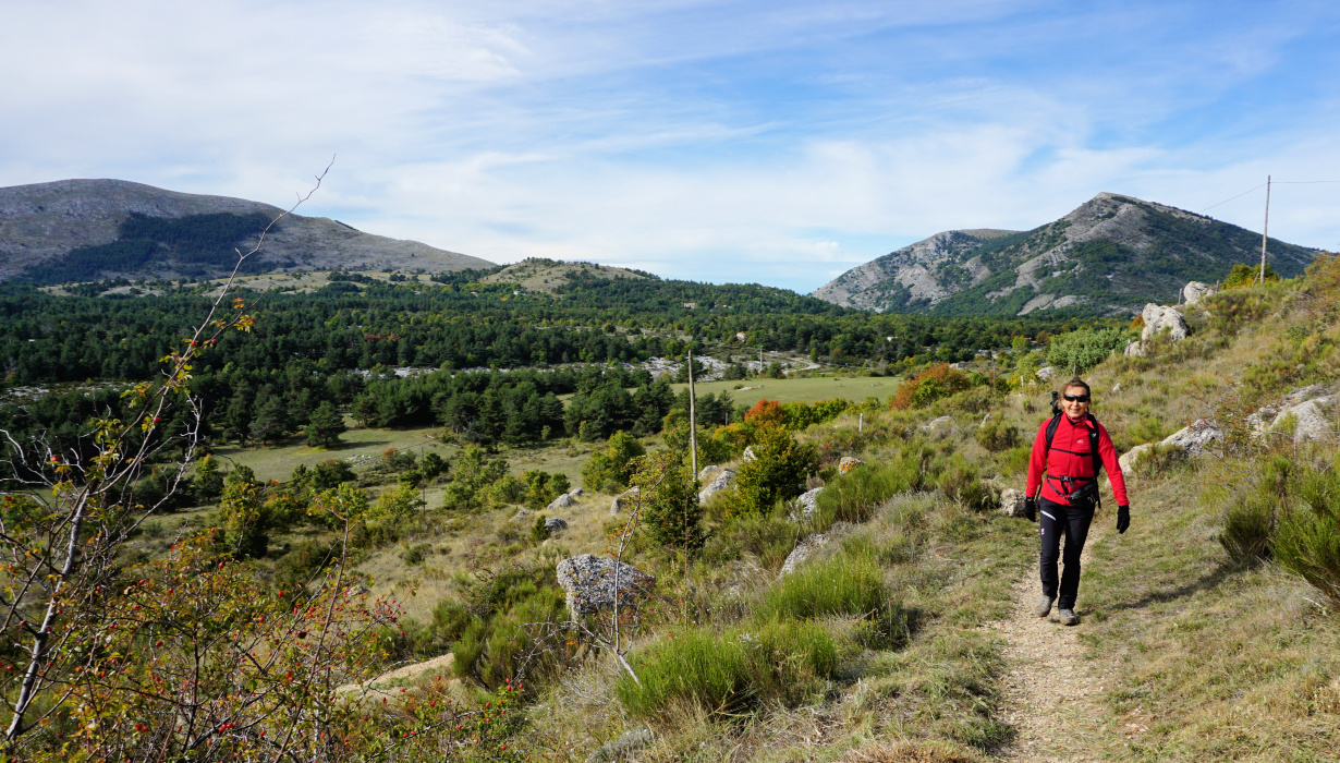
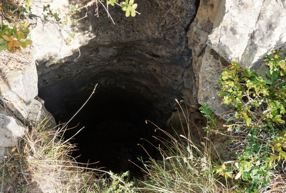
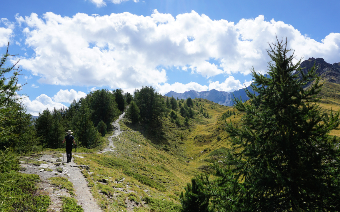
Plan des Noves to Vescagne Footbridge


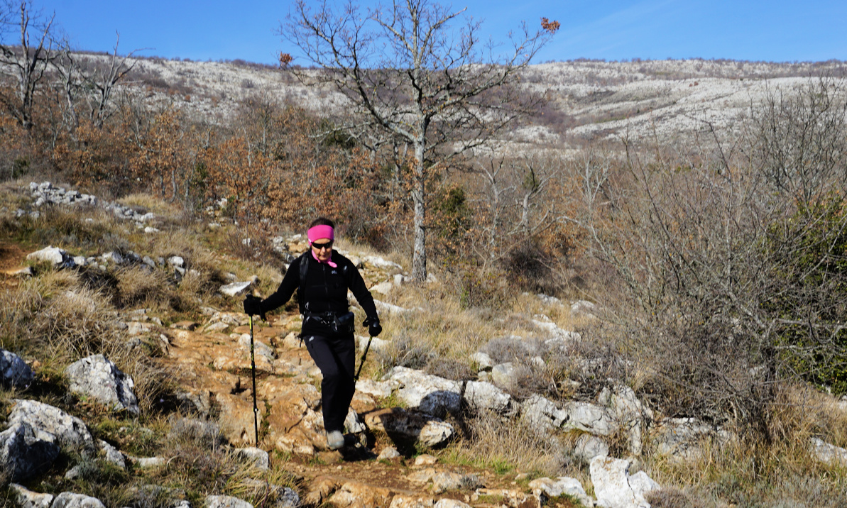
Descent to Plan des Noves


The following hike features a pleasant walk in Plan des Noves above Vence along the GR51 trail.

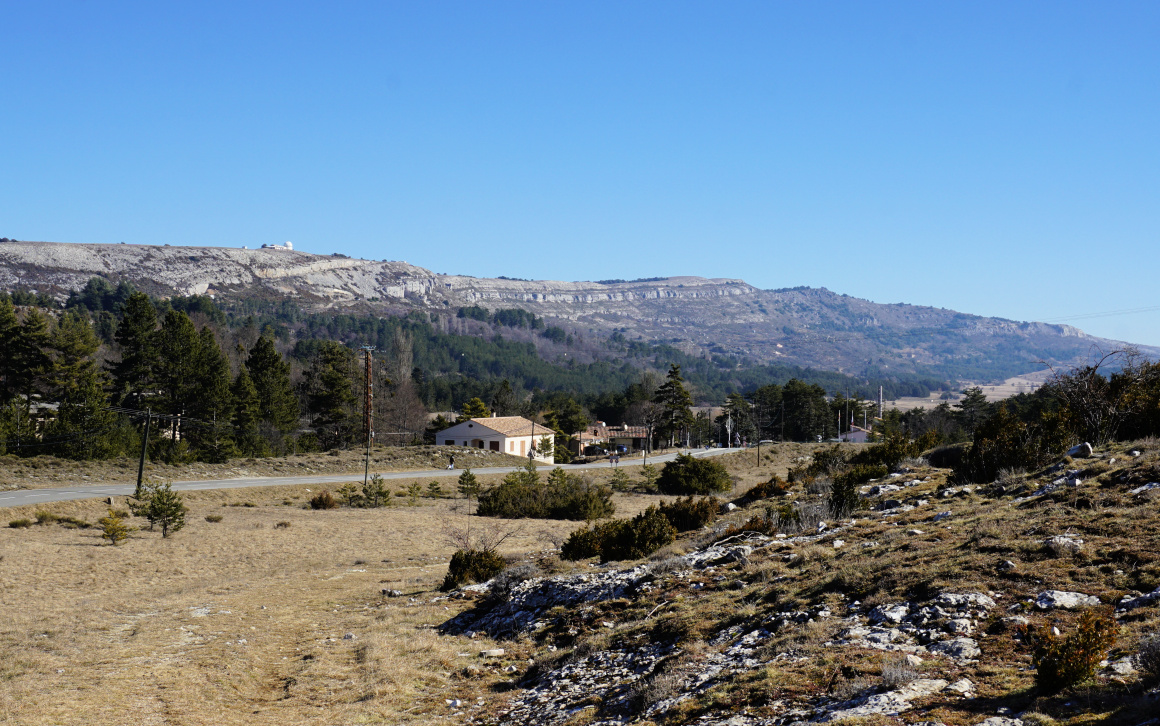
The Plan des Noves parking by the M2 road is a natural starting point for walks near Col de Vence as you can choose many directions and the GR51 trail crosses the road here.

Departing Plan des Noves parking
GR51 crossroads Plan des Noves
GR51 Crossroads Plan des Noves
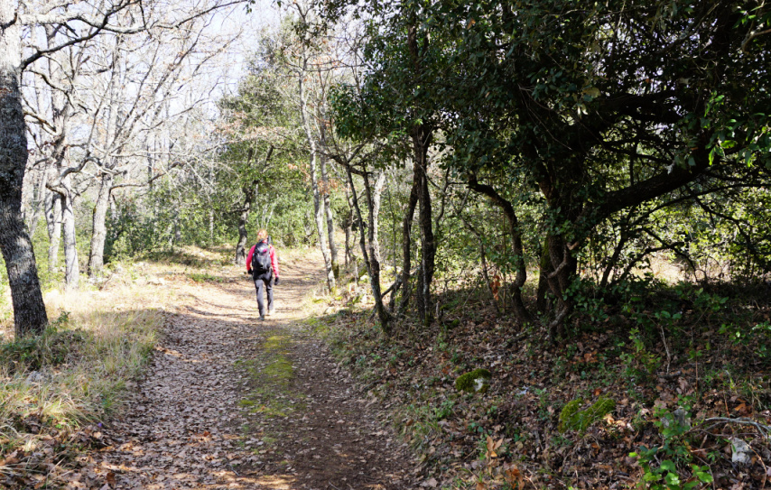
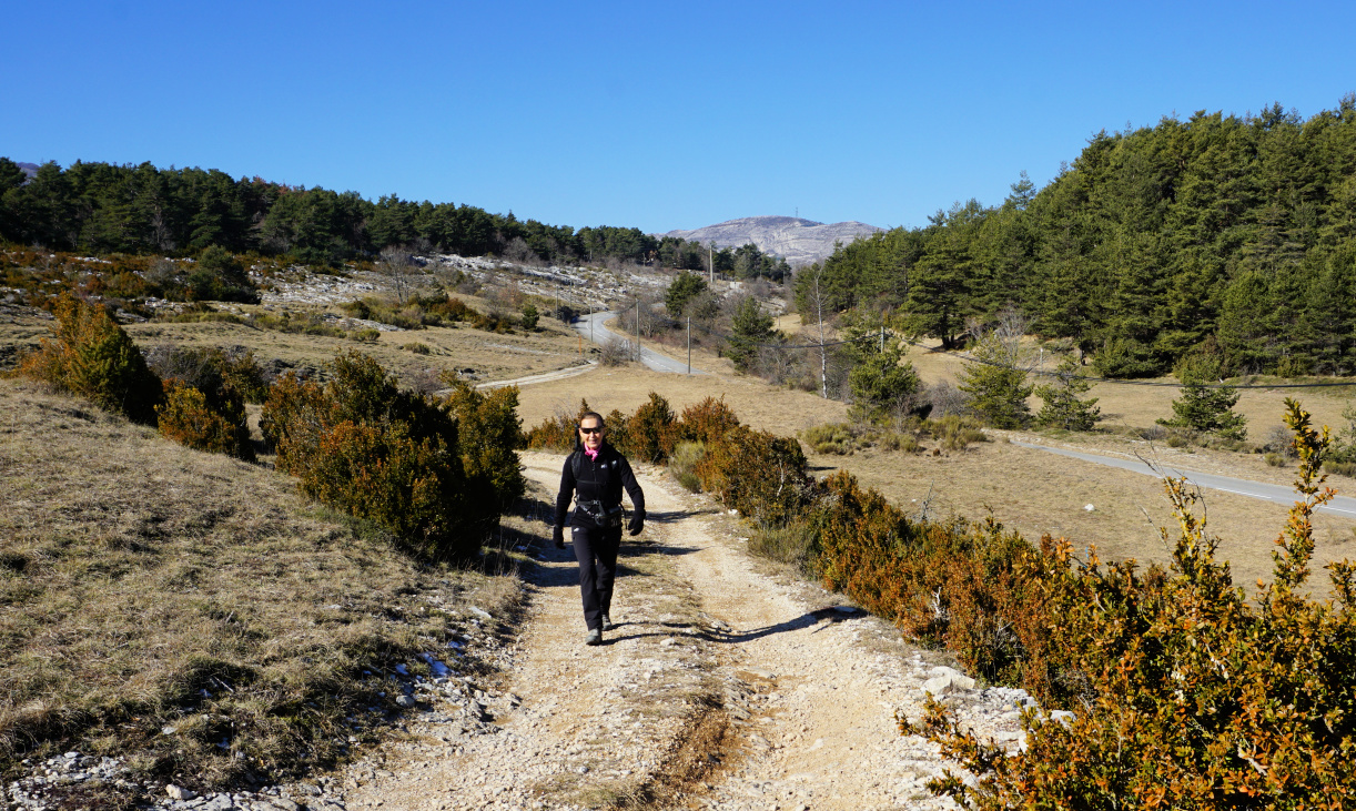
Heading north on GR51
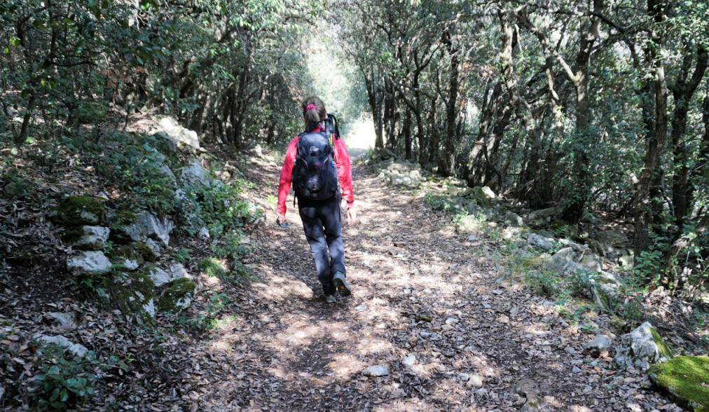
Evergreen woods by the GR51

We headed east descending about 100 m to signpost #133 at the western part of the plateau. We forked sharply left (north) along GR51, and walked past some ancient agricultural areas. The surrounding scenery was dominated by Mouton d’Anou (1079 m) and Colle Menon (1029 m). As Plan des Noves is surrounded by about 800 m peaks in all directions, the coast remained invisible.
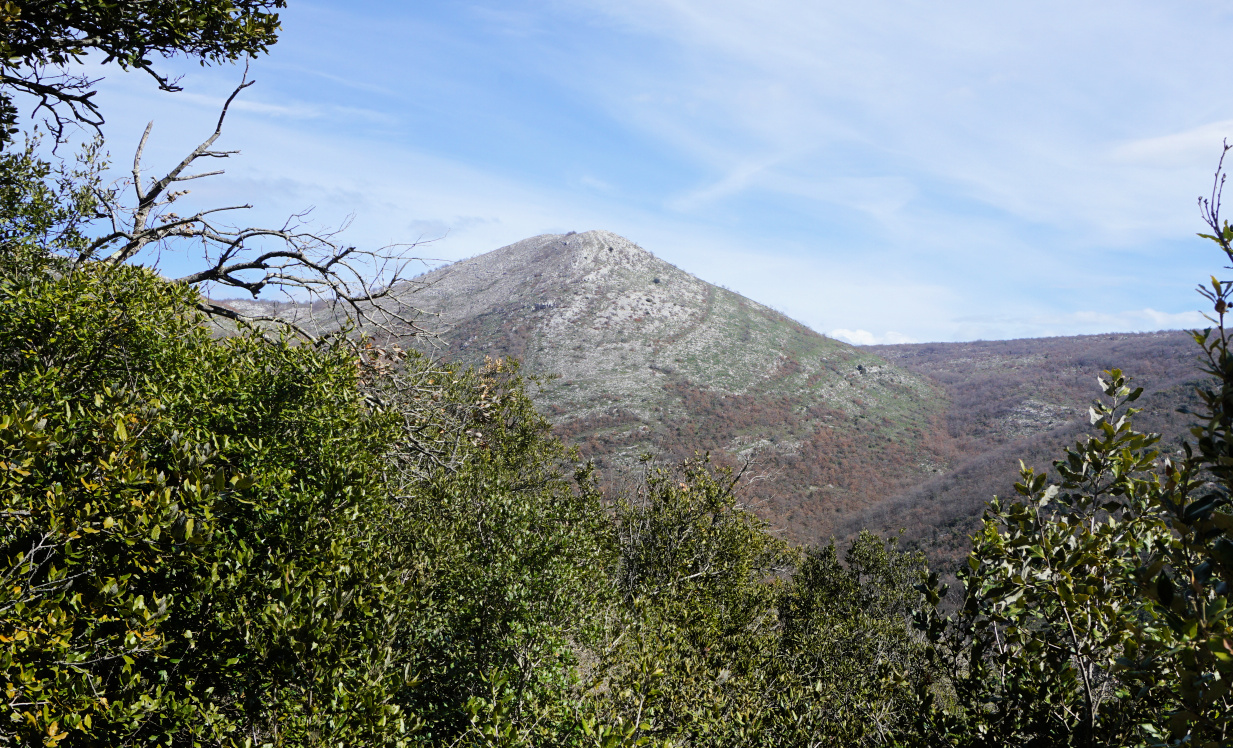

Mouton d'Anou
Mouton d'Anou
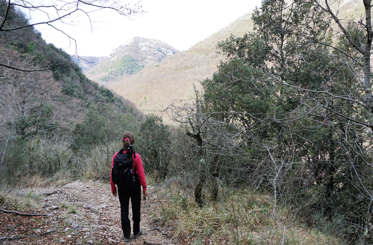
Cagnes River Valley
Cagnes River Valley
Vescagne footbridge
Vescagne footbridge
La Cagne riverbed almost dry

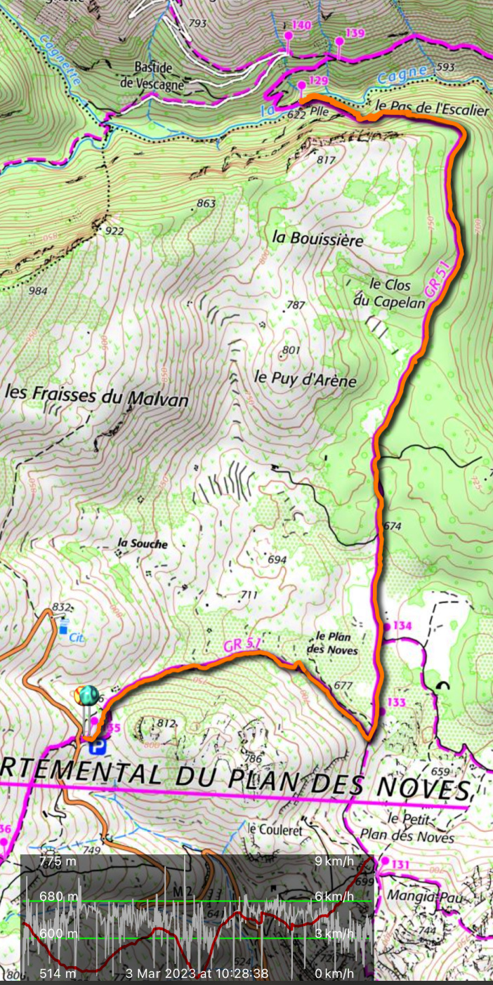
The GR51 at this point was a wide track surrounded in places by holm oaks, and other evergreen trees. We climbed a bit before the trail turned west above the Cagnes River Valley, descending rapidly to the wooden footbridge, Pont du Vescagne (620 m). It had rained very little in the winter, and only a small amount of water streamed towards the sea even in early March. Some riverbeds have been reported completely dry in the Var Department. The sources of the Cagnes River are near Coursegoules, about 5 km uphill and northwest as the crow flies.


We used the same trail back to our starting point.


Distance: 10 km


Climb: 390 m


Duration: 3h 20 active


Map: “Cannes-Grasse” Côte d’Azur 3643ET


Vescagne bridge hike track


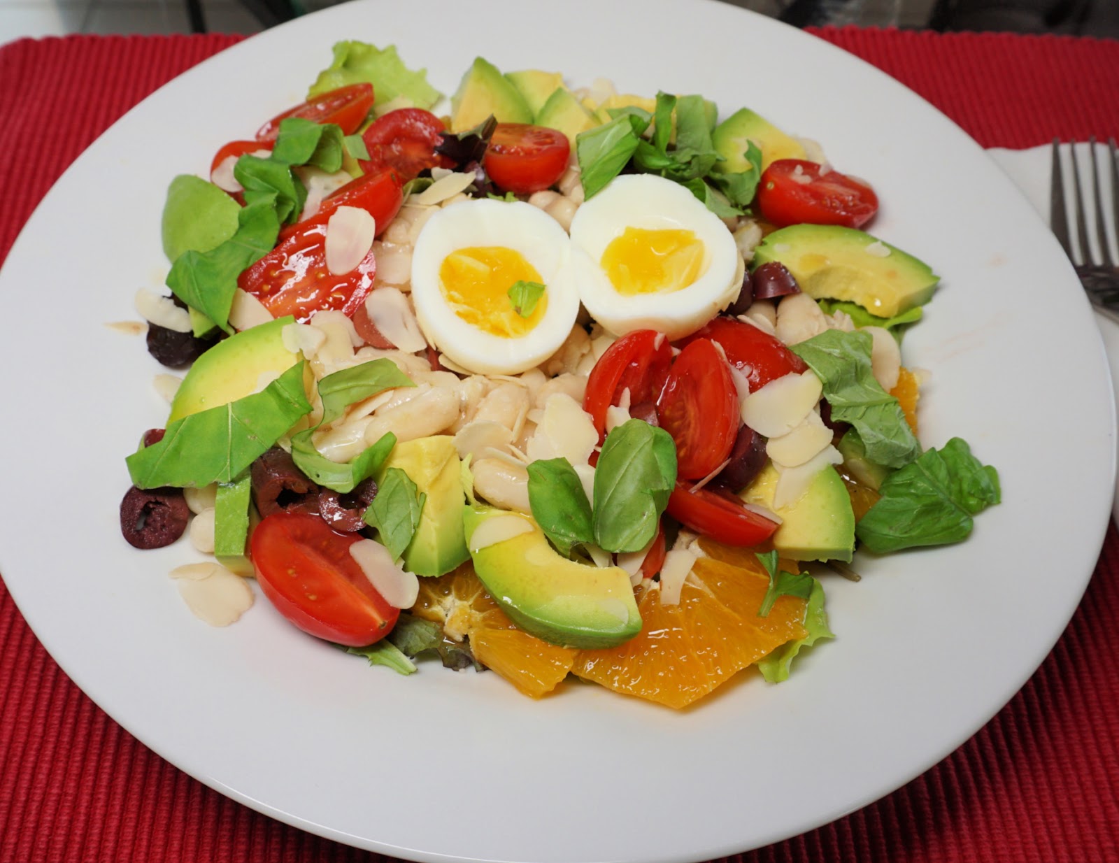
Chef's salad revisited


Chef's salad revisited


More than 40 years ago when we visited the US Virgin Islands, chef’s salad was very popular over there. It was served in a bowl and made from iceberg salad, yellow cheese, ham, and hard-boiled eggs, and topped with a generous amount of blue cheese dressing.

The choice of ingredients for the following Mediterranean twist is totally different and reflects our increased knowledge of antioxidant and fibre-rich foods and heart healthy fats.

Make this salad in winter when the Mediterranean oranges and avocados are at their best.

2 servings

2 handfuls of organic mesclun, baby salad leaves

2 handfuls of cooked white beans

1 Mediterranean avocado

1 organic Mediterranean orange

12 organic local cherry tomatoes

8 black olives, pitted and sliced

2 soft-cooked eggs

2 tbsp. almond flakes

A few organic basil leaves

Vinaigrette from olive oil and red wine vinegar


Divide the mesclun on two large plates. Peel and slice the orange and avocado and divide on the plates. Add the white beans, halved cherry tomatoes, and black olives and place an egg in the middle of the plates.


Drizzle with a little of vinaigrette and top with almond flakes and chopped basil leaves. Serve with some rye bread.


Caussols to Haut Montet


Haut Montet summit


Today’s hike features an alternative itinerary to Haut Montet (1335 m) above Grasse. We have hiked there many times from the parking at about 1100 asl (Chemin des Claps) west of Gourdon. It is the shortest option, and very popular because of easy access. 

Caussols Village
Caussols Village
GR4 from Caussols
GR4 from Caussols
GR4 south of Caussols
Ascent to Col du Clapier

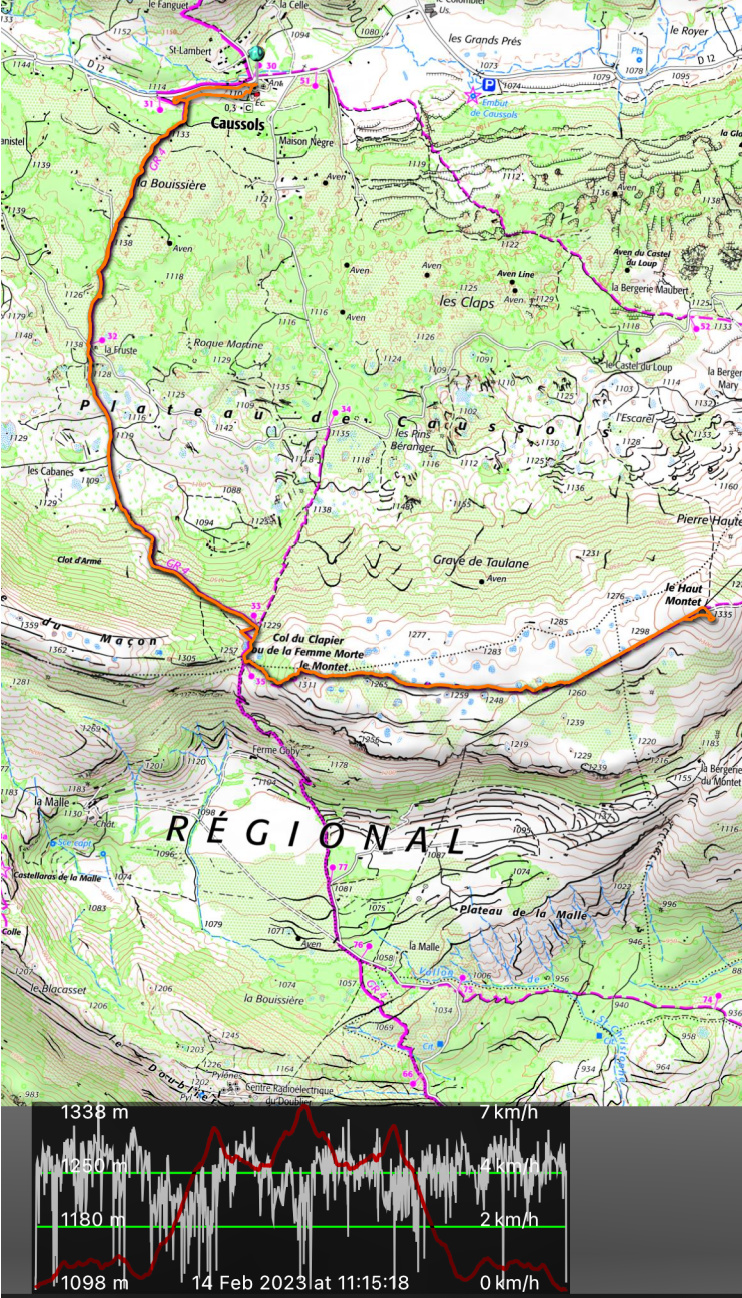
This time we wanted to explore the itinerary from the village of Caussols (1100 m) by the D12 road. We started along the GR 4 long distance trail which ran through the village. We followed the D12 road a few hundred meters to the west to signpost #31 where we forked left (south), following an excellent trail. Some stretches followed dirt or paved roads. The first 2,5 km or so were almost flat. We passed signpost #32, still heading south on the Caussols Plateau. About one km after #32 we started to climb, now heading southeast, to Col du Clapier (1257 m); signpost #35. There were snowy and icy patches here and there.


Near Col du Clapier
Near Col du Clapier
Trail to Haut Montet from west
Smog above the Riviera
View to west from Haut Montet

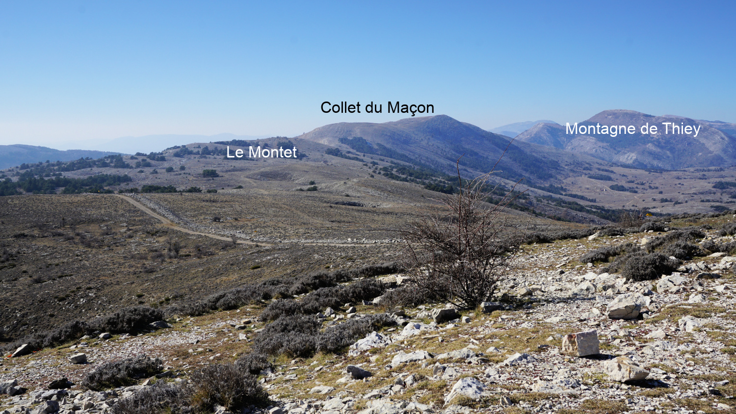
The GR 4 trail continued south towards Grasse. We forked left towards Haut Montet, first passing a mountain top named le Montet (1311 m). The trail undulated in mostly open ground before merging with a dirt track about one km before Haut Montet. The civil aviation radar on the summit can be seen from many places on the coast. 


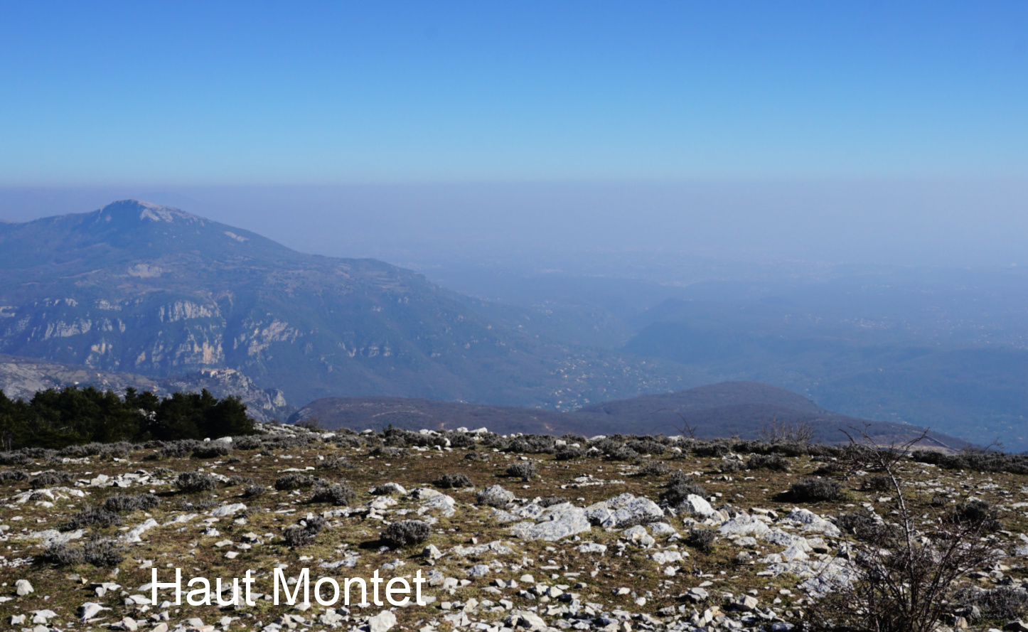
The winter day was cloudless, but haze and smog below us prevented any good views down to the coast whereas the Southern Alpine chain of peaks was well visible in the north.


We returned back to Caussols using the same trail.


Distance: 14,2 km

Climb: 420 m

Duration: 4h 20

Map: Haute Siagne 3543 ET
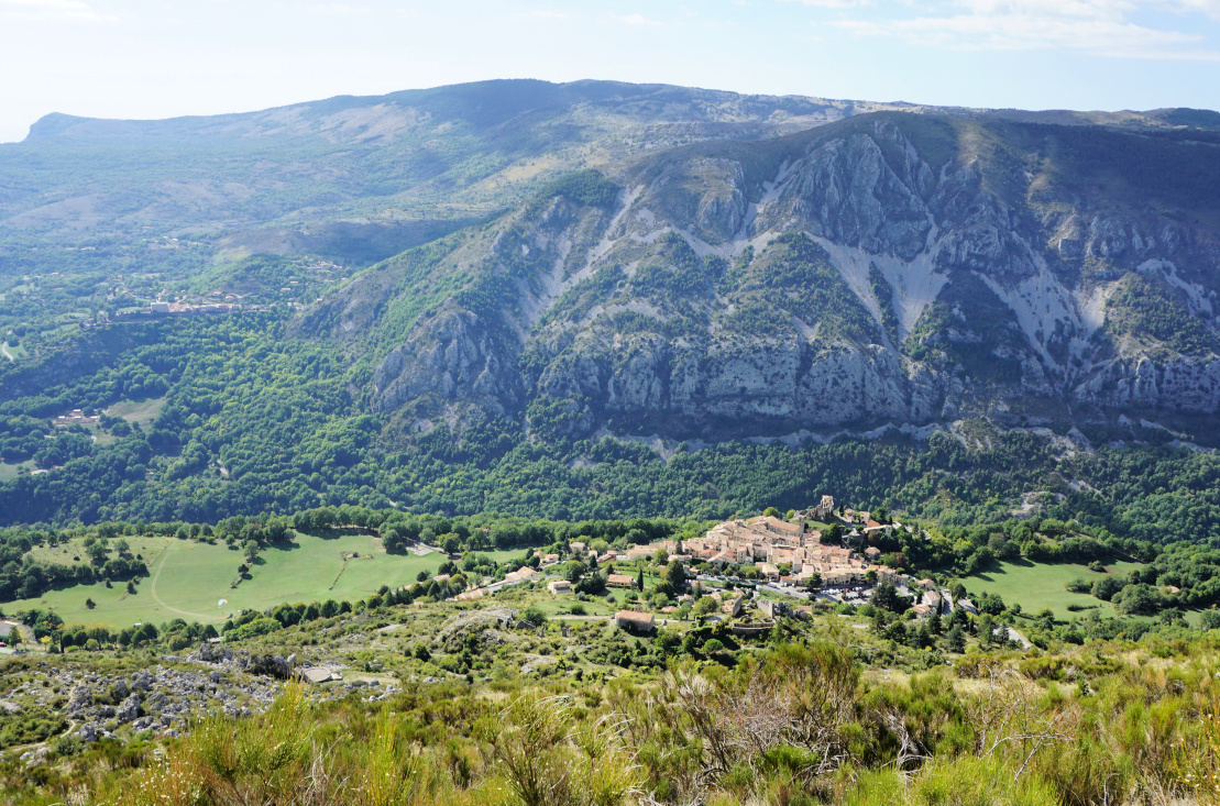


Trail Caussols Haut Montet


Tocco Genovese

Tocco Genovese
Tocco Genovese

The traditional cooking in Nice has close ties with the cuisine in neighbouring Liguria and Piedmont on the Italian side. This explains the similarities between daube de boeuf, the meat stew on the French Riviera, and Tocco, the Genovese meat dish. Both are cooked for ages in large quantities and are appropriate for large informal dinner parties.

In the Italian style, the meat- flavoured tomato sauce of Tocco is served with pasta, traditionally ravioli. The tender meat is served as a second course with the vegetables.

Like all traditional recipes, Tocco exists in many variations. In the interesting cookery book, Flavours of the Riviera by Colman Andrews, Tocco is made from boneless veal.

I have modernized the Tocco recipes by choosing a lean and tender pork fillet, filet mignon de porc. This will considerably reduce the cooking time needed.

Ravioli with tocco sauce


2 servings

300 g piece of pork fillet, filet mignon de porc

3 chopped tomatoes or 200 ml Italian passata

200 ml chicken stock

A handful of fresh mushrooms, chopped

1-2 carrots, thinly sliced

½ onion, chopped

1 clove garlic, minced

1 stalk of celery, sliced

2 tbsp. olive oil

½ glass red wine

Freshly ground black pepper

1 tsp. dried Provençal herbs


Warm the olive oil over medium heat in a heavy casserole, cocotte. Brown the meat on both sides until golden. Add the carrot, mushrooms, celery, onion, and garlic and sauté for 5- 10 minutes. Pour in the wine. When it has evaporated, add the tomatoes /passata and chicken stock.


Cover and simmer on a low heat for about 1 hour until the meat is cooked and the vegetables are tender.


Cook the ravioli which takes about 3 minutes. Place the pork fillet on a cutting board and cover with tin foil. Take the tomato sauce from the cocotte and sprinkle over the drained ravioli which are first sprinkled with some parmesan. This is served as the first course. Leave the vegetables in the casserole and cover to keep them warm.


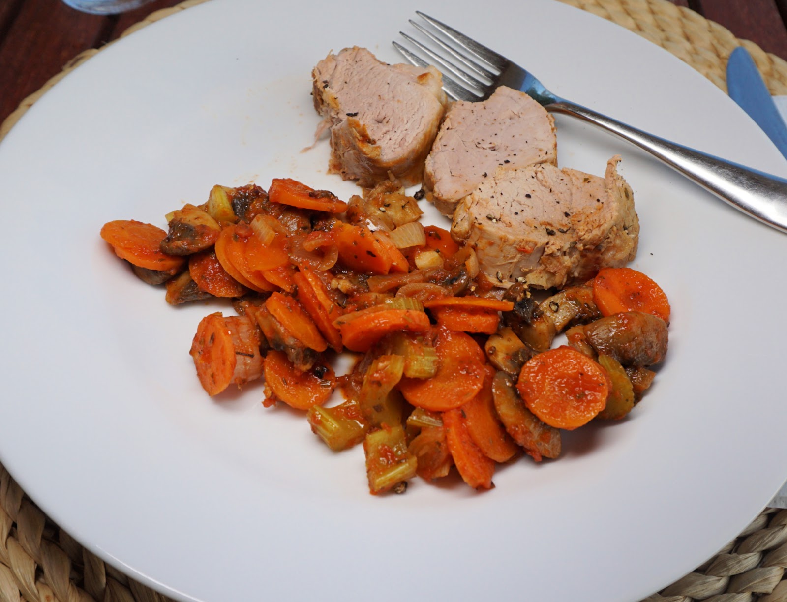
For the second course, slice the pork fillet and serve it with the vegetables from the casserole.


Sommet de Calern hike


Sommet de Calern
Sommet de Calern


Sommet de Calern (1458 m) overlooks the small village Caussols (1100 m). Only 10 km north of Grasse as the crow flies, the summit is located in the westernmost part of the Plateau de Calern. The CERGA observatory established in 1974 is about 3 km to the east of the summit.

Sommet de Calern southern flank
Starting from Caussols
GR4 near Caussols
GR4 near Caussols
Sinkhole by the trail

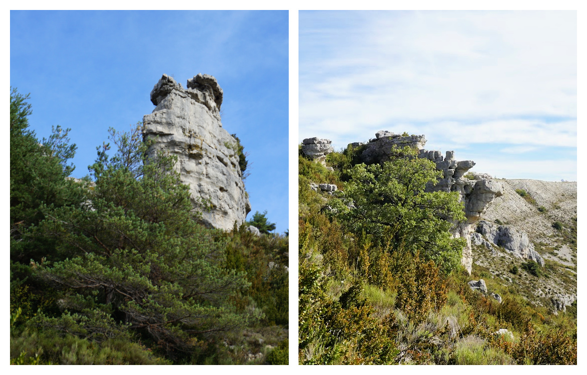
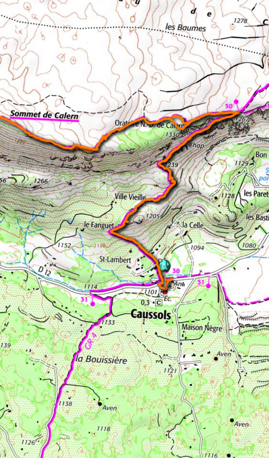
The GR4 trail runs through Caussols. Starting from the village (signpost #30), we headed north first along a paved road, then along a good and recently maintained trail. We passed several fenced pasture areas which all were empty. We came under the steep southern ridge and headed northeast. The region consists mostly of limestone and we walked past some peculiar rock formations and sinkholes, avens.


We came to signpost #50 where the GR4 continued northeast to Cipières, and another trail straight east to the nearby observatory. We forked left (west), and ascended in open terrain towards the summit along a yellow-marked trail. There were many parallel paths and tracks.  


GR4 near signpost50
GR4 near signpost50
Rock formations Calern
Trail to Sommet de Calern
Vast Plateau de Calern
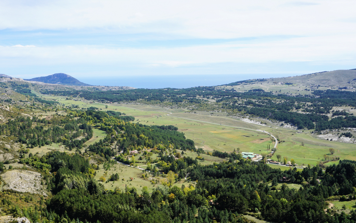
Plateau de Caussols
Plateau de Caussols

The summit (highest in Calern) was marked with a large cairn. We could see parts of Nice, the airport as well as the coast to the west, well beyond the St Tropez peninsula.


We took the same trail back to Caussols. It is possible to make a detour to the observatory or even to Colle de Rougiès


Climb: 390 m

Distance: 8.8 km

Duration: 3 h

Map: 3543 ET Haute Siagne
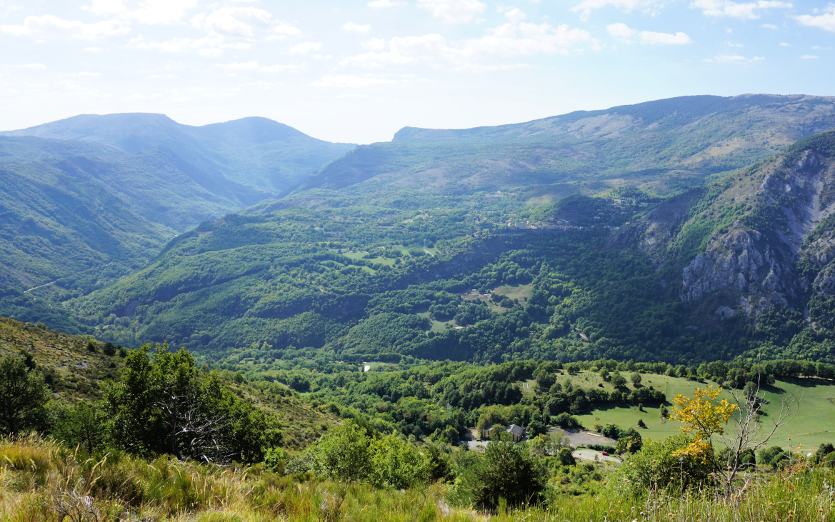

Sommet de Calern hike track


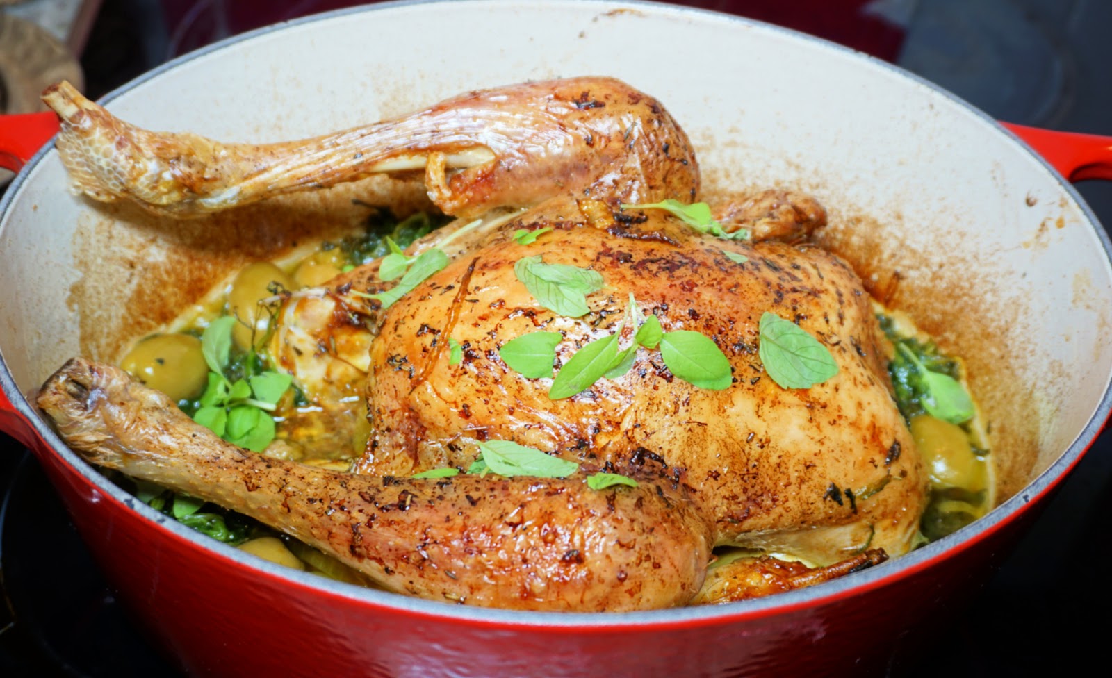
Lemon chicken with green olives


Lemon chicken with green olives


This golden lemon chicken recipe is perfect to make on a cold winter day when we are longing for warm and sunny summer days. But it is just as delightful in spring with its refreshing lemon flavour.


4 servings

1 whole organic chicken, about 1,3- 1,5 kg

200 g organic pitted olives

2 medium onions

2 cloves garlic

2 doses saffron powder

1 lemon, peeled and cut into small pieces

Juice of 1 lemon

50 ml plus 2 tbsp. olive oil

1 tsp. dried Provençal herbs

400 ml chicken stock

2 handfuls of organic baby spinach leaves

Freshly ground black pepper

Fresh herbs to decorate


In a bowl, mix olive oil, lemon juice, lemon pieces, Provençal herbs, black pepper, and saffron. Brush the chicken inside and outside with this mixture. Pour the rest of the marinade and lemon pieces inside the chicken. Place the chicken in the fridge for 30 minutes, then marinate in the room temperature for 30 minutes.


Preheat the oven to 190°C roast.


Warm 2 tbsp. olive oil in a heavy saucepan, cocotte, over medium- low heat. Peel and slice the onions, peel and mince the garlic. Add them to the cocotte and sauté for about 10 minutes. Add the chicken stock and the marinated chicken, increase the heat and bring to the boil.


Transfer the cocotte to oven and roast for 1,5 h basting regularly with the cooking liquid.


Towards the end of the roasting add the green olives and spinach to the saucepan. Continue cooking until the olives are heated and the spinach is wilted.


Carve the chicken and serve with rice mix or quinoa. If you are making this for only two persons, the leftovers can be used next day in chicken pilaf or served over pasta. 


Cime du Cheiron

Western Cheiron Ridge


 When we climbed to the Cheiron Ridge several years ago, we were interrupted by poor weather and visibility.

This time we chose a warm and clear (albeit hazy) September day for our hike.

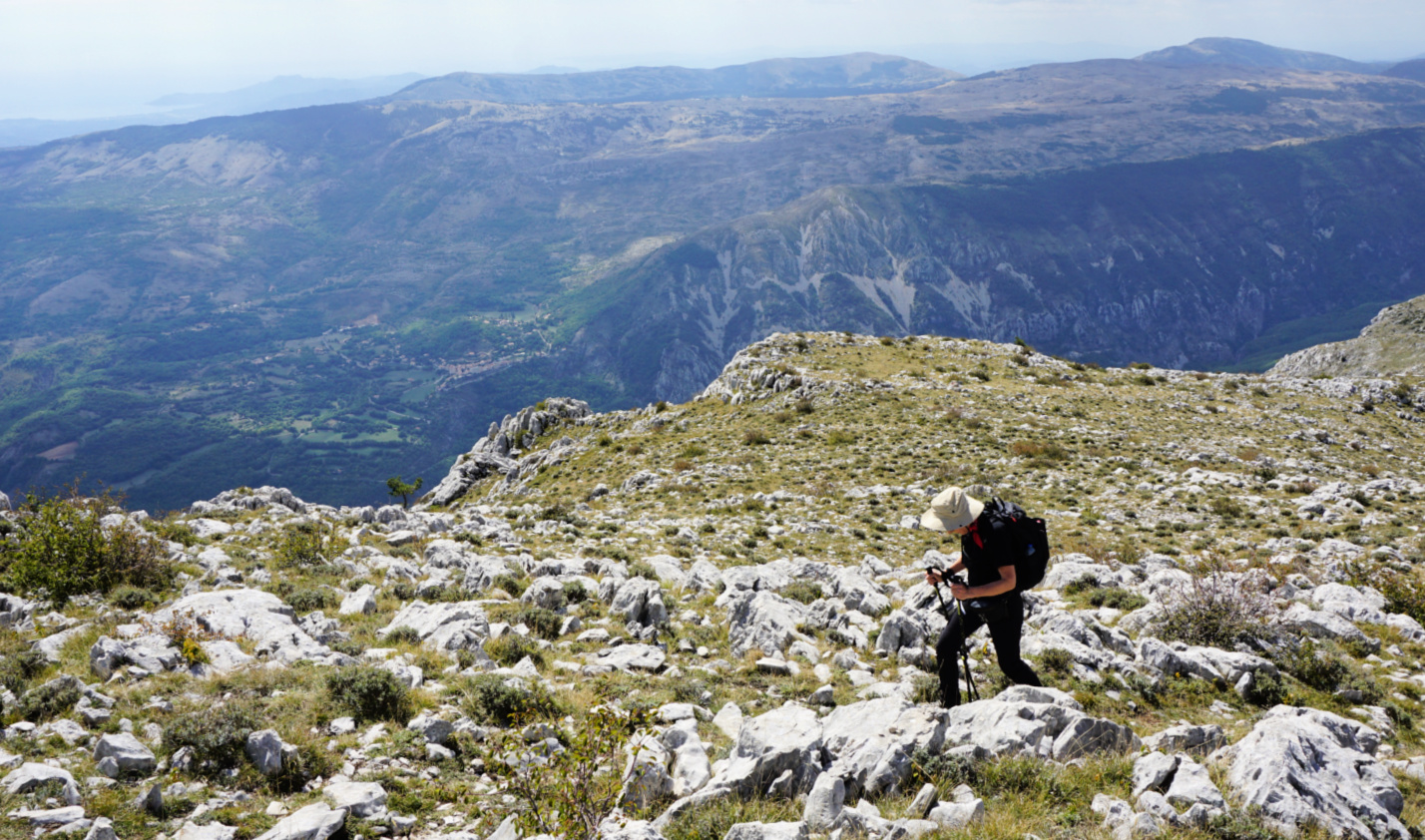
The impressive steep southern flank of the long limestone ridge is well visible from many places on the coast. The highest point, Cime du Cheiron (1778 m) has antennas on the summit, and ski lifts from Gréolieres les Neiges near the summit on its northern side. All in all, we found the ridge more imposing than the summit itself! 

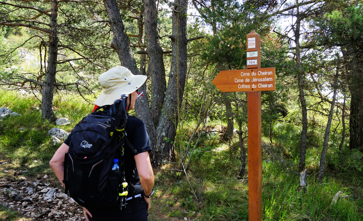
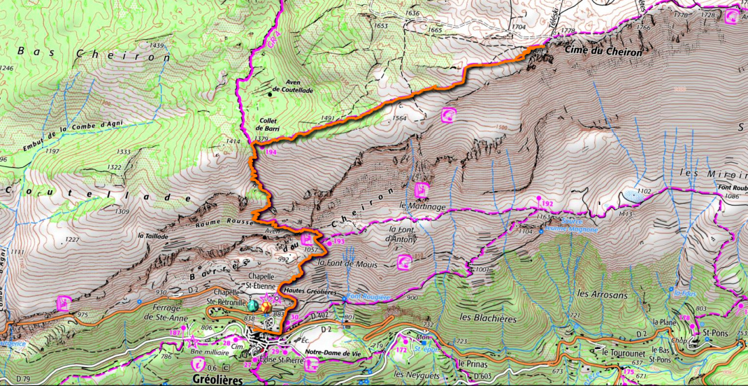
We started from signpost #30 in Gréolières (830 m) along the GR4 trail, passing the ruins of Hautes Gréolières. Most of the trail was very rocky. We came to signpost #193, forked left and continued the ascent along the GR4.

Gréolières viewed from GR4
The Loup Valley
The Loup Valley
GR4 after signpost 193
GR4 to Collet de Barri
Collet de Barri
Collet de Barri

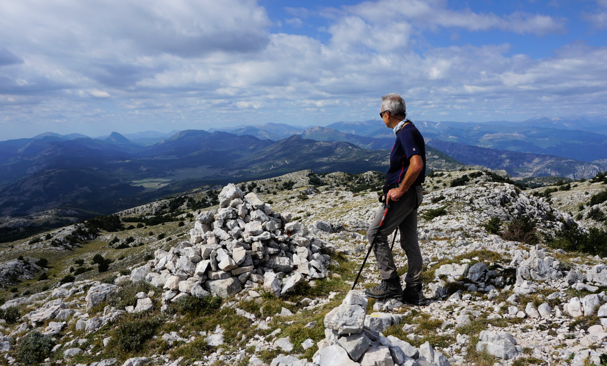
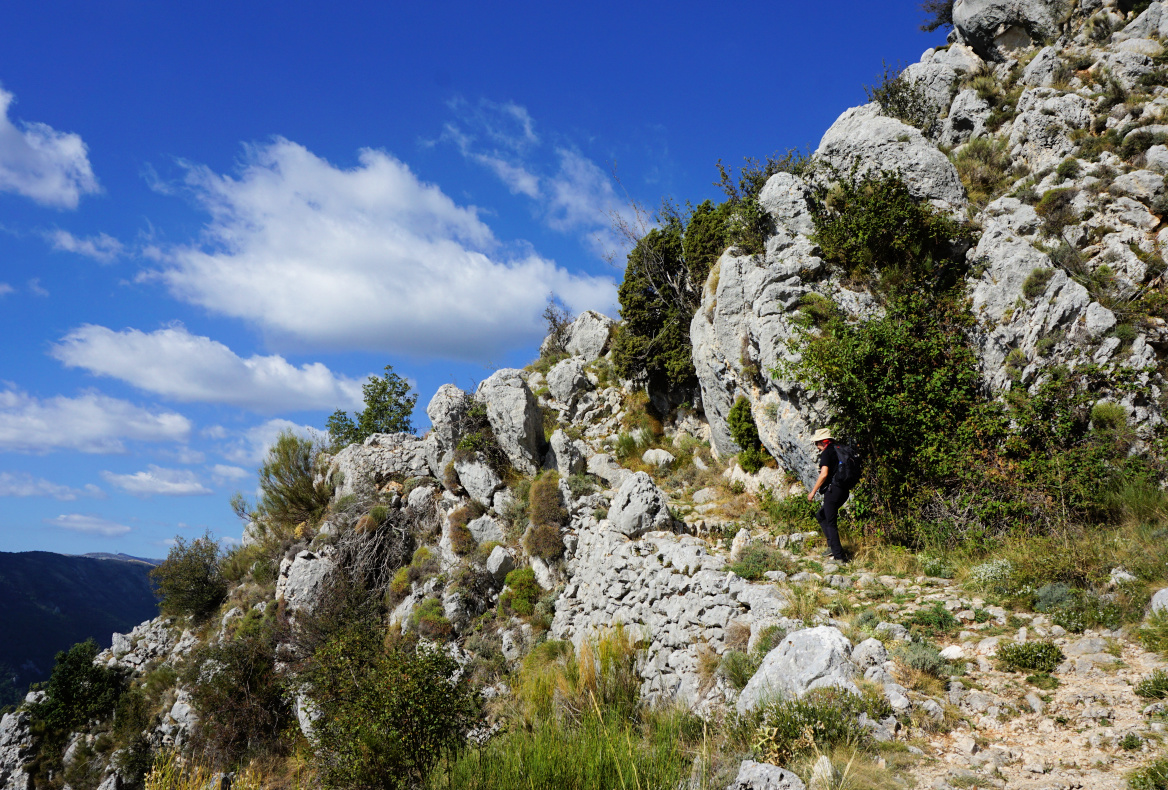
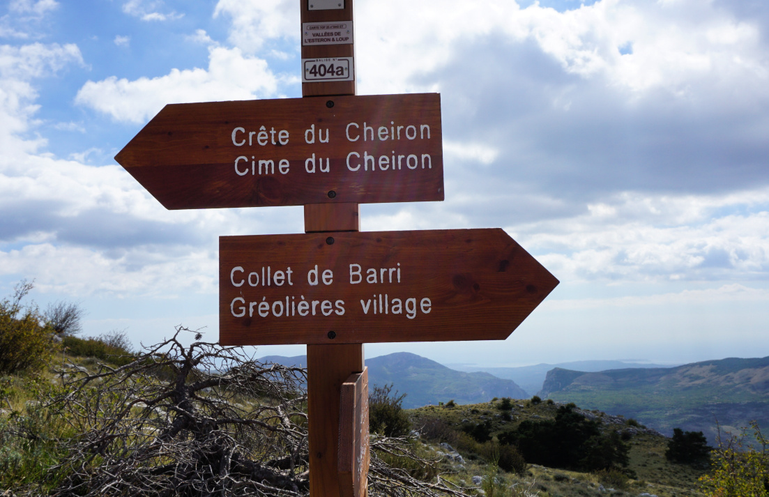
At Collet de Barri (1370 m), we forked right (east), leaving the GR4. The newish signpost showed the itinerary to Cime du Cheiron, and the trail had yellow markings. We first ascended in a forest. Once above the tree line, we reached the beginning of the ridge and soon came to a new signpost #404a (not in our map). The masts on the summit became visible. There were now more cairns to guide us. 


We came to an antécime with a big cairn, then hiked to the mountain top with antennas less than 100 m away. There was ongoing maintenance, and men working. We did therefore not continue to the true summit nearby. From here and as well from the ridge, we nevertheless had a panorama view all the way to the coast. Even the St-Tropez Peninsula was visible through the haze.


We descended back to Gréolières, paying attention to moving rocks on the trail.


Signpost 404a Cheiron Ridge
Cheiron Ridge
Cheiron Ridge
Western flank of Cime du Cheiron
View south from Cheiron
Cime du Cheiron hike track

Climb: 920 m

Distance: 11,2 km

Duration: 5h 30

Map: 3642 ET « Vallée de l’Estéron » 


Modern Choron sauce


Modern Choron sauce
Modern Choron sauce

Choron sauce is basically the classic Béarnaise sauce with some tomato paste. It is often served with grilled meats. Like Béarnaise sauce, Choron sauce is high in saturated fat from butter and egg yolks. 

I have experimented various sauces by using only good, heart-healthy olive oil instead of butter. The following recipe is very tasty if made with quality ingredients; organic chicken stock, the very best Italian tomato sauce and balsamic vinegar, tasty olive oil such as Alziari from Nice.

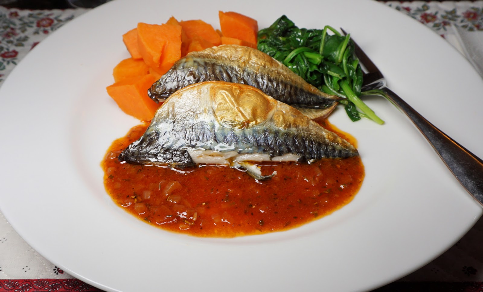
This healthy Choron sauce goes very well with steaks, pork or veal chops, and roasted mackerel fillets.

2 servings

250 ml chicken stock

1 tbsp. olive oil

1 tbsp. minced shallot

1 tsp. minced garlic

½ tsp. dried Provençal herbs

3 tsp. balsamic vinegar

3 tbsp. tomato sauce, pref. Italian passata

To be whisked in just before serving: 2 tsp. tasty organic olive oil and freshly ground black pepper.


In a saucepan, warm 1 tbsp. olive oil over medium heat and sauté the shallot and garlic for 5- 10 minutes. Add the chicken stock, Provençal herbs, balsamic vinegar, and the tomato sauce. Increase the heat somewhat and continue cooking until the sauce is reduced by about 1/3- ½. Remove the saucepan from heat and whisk in the tasty olive oil and black pepper.


St-Véran: Crête de Curlet


Narrow part of Crête de Curlet


Facing St-Véran on the southern side of L’Aguie Blanche Valley, the northern face of Crête Curlet is a precipice.

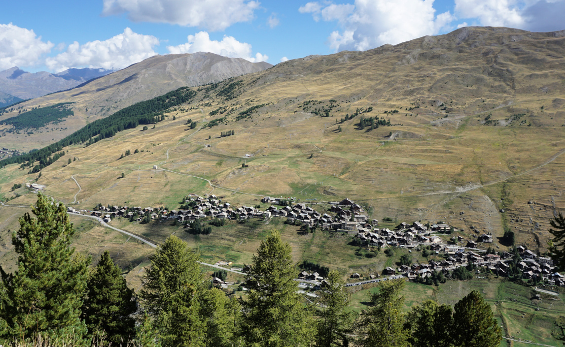
A cross, la Croix de Curlet (2301 m elev.), was erected on the ridge in 1905 when a lost child from the village had been found there alive. The original cross was replaced in 1998. There is a clearing around it, and it is visible from St-Véran.

The hike up to the cross and the ridge is considered easy, suitable for families according to: https://www.envie-de-queyras.com/guide/la-croix-de-curlet

Crête de Curlet seen from St-Véran
In Bois du Moulin
In Bois du Moulin
Wolf and dog warning
Near Croix de Curlet
Croix de Curlet St-Véran


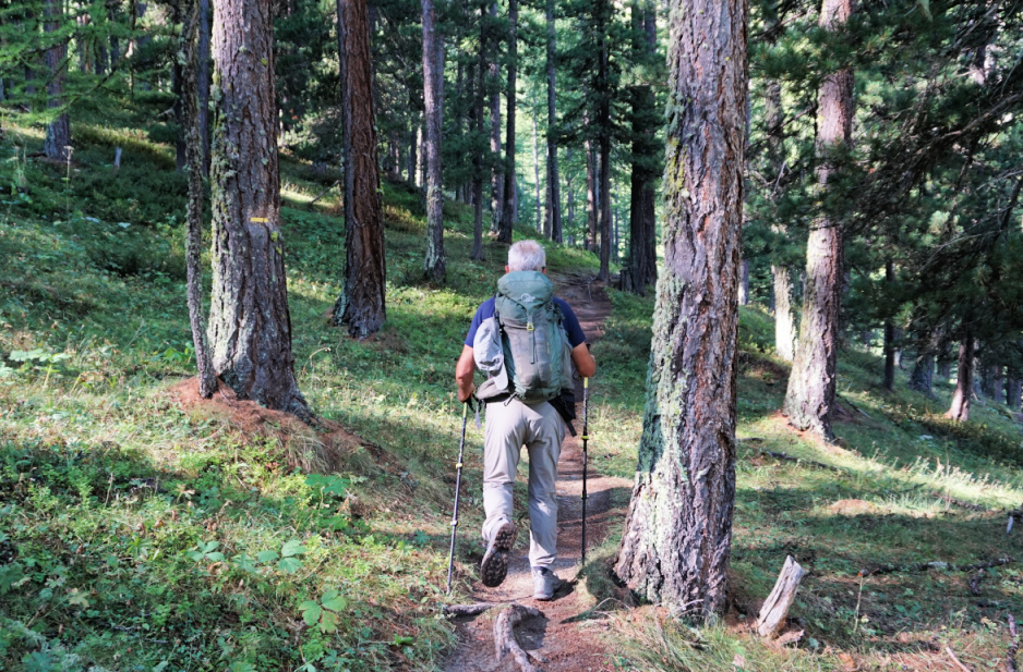
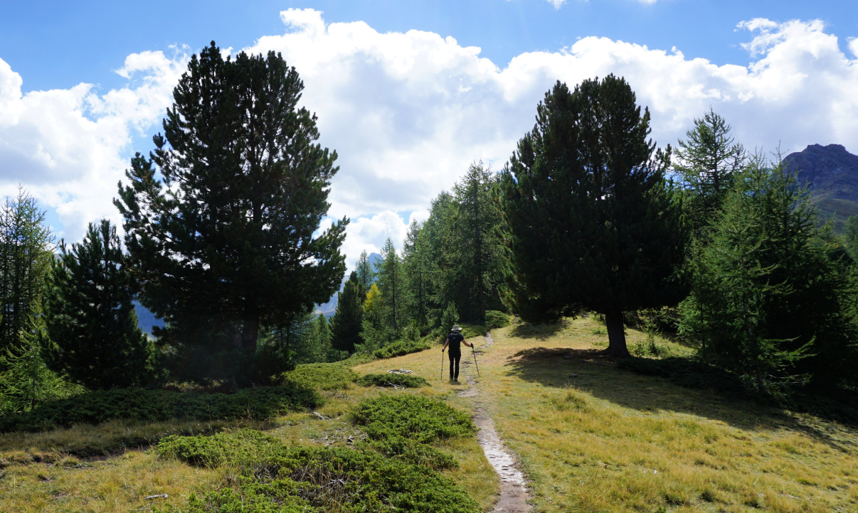
Even so, if you start from St-Véran by foot as we did, you have to descend 150-200 m along the GR58 trail before reaching Pont du Moulin (1849 m). From the bridge, we ascended along the GR58, and after 450 m forked left along a PR (yellow-marked) trail to la Croix de Curlet. We ascended steeply in the woods (Bois du Moulin).  

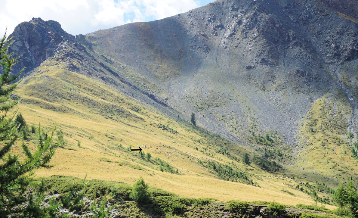
We were aware of pasture areas south of the ridge (Cabanes de Lamaron).  There was the usual warning of sheep flocks but a bit later another one (image): wolves=patou dogs -those big white guardian dogs. We came to a clearing where a few sheep were roaming around. No dogs nearby. We saw a shortcut to the ridge and the cross, and took it, thus avoiding the flock. We reached the cross, right above St-Véran, with great views. A good trail continued along the ridge, ascending a bit. To our right, we soon saw the main sheep flock further away climbing under Pic Cascavelier at the end of the ridge.


Trail leaving Croix de Curlet
Saint Véran viewed from Croix de Curlet
Sheep flock south of Crête de Curlet
Beautiful Crête de Curlet
Pic de Ch.Renard seen from Crête de Curlet
Descending in Bois du Moulin

Instead of doing a loop back along the meadows, we turned back to the cross after about 600 m. On the way back, we clearly saw some wolf footprints on the muddy trail (image), also those of a deer.

From the cross, we took another shortcut trail in Bois du Moulin. The trail merged with our main path. We descended back to the valley and climbed to St-Véran.

Climb: 600 m (when starting from St-Véran)

Duration: ~4 h

Distance: 7,3 km

Map: 3637 OT Mont Viso St-Véran. Aguilles; PNR du Queyras


Crête de Curlet hike track


Wolf footprint
Wolf footprint