Mont Capelet Inférieur Hike

Mont Capelet Inférieur 2419m


 Situated above the Gordolasque Valley inside the Mercantour National Park, Mont Capelet Inférieur (2419 m) does not have any marked trails to the summit in the official hiking maps. The mountain is nevertheless easy to reach from the Gordolasque Valley. The grassy southwestern face is a bit steep but nice to ascend. The neighbouring Cime du Diable (2865 m) and Mont Capelet Supérieur (2637 m) are both steeper and rockier.

NB! There is limited access to the Gordolasque Valley for vehicles under 3,5 t. The RM171 road was initially closed after the devastating storm named Alex in early October 2020. 

For updated info in the Vésubie Valley:

https://www.nicecotedazur.org/actualite/2020/10/21/temp%C3%AAte-alex-point-de-situation-quotidien


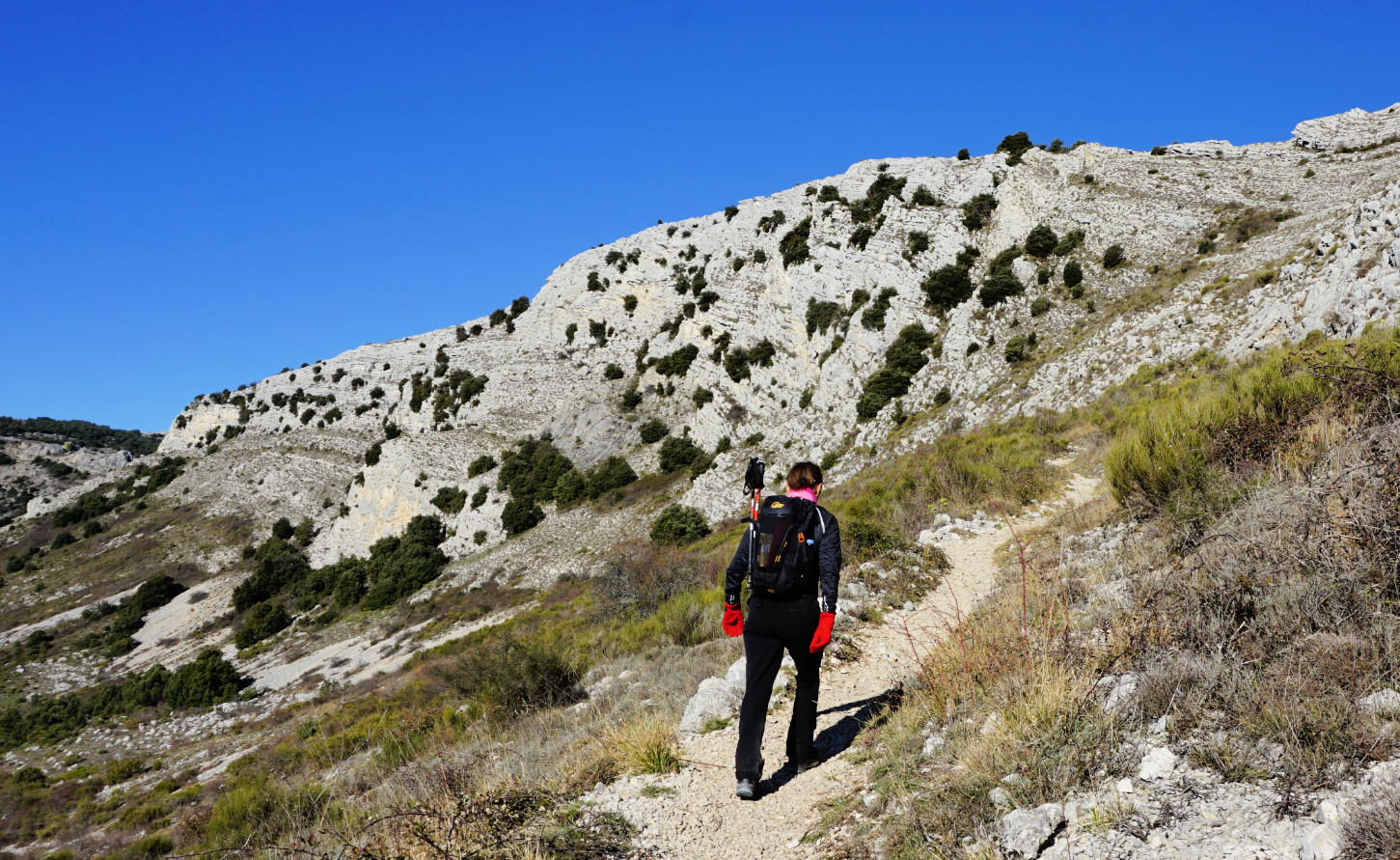
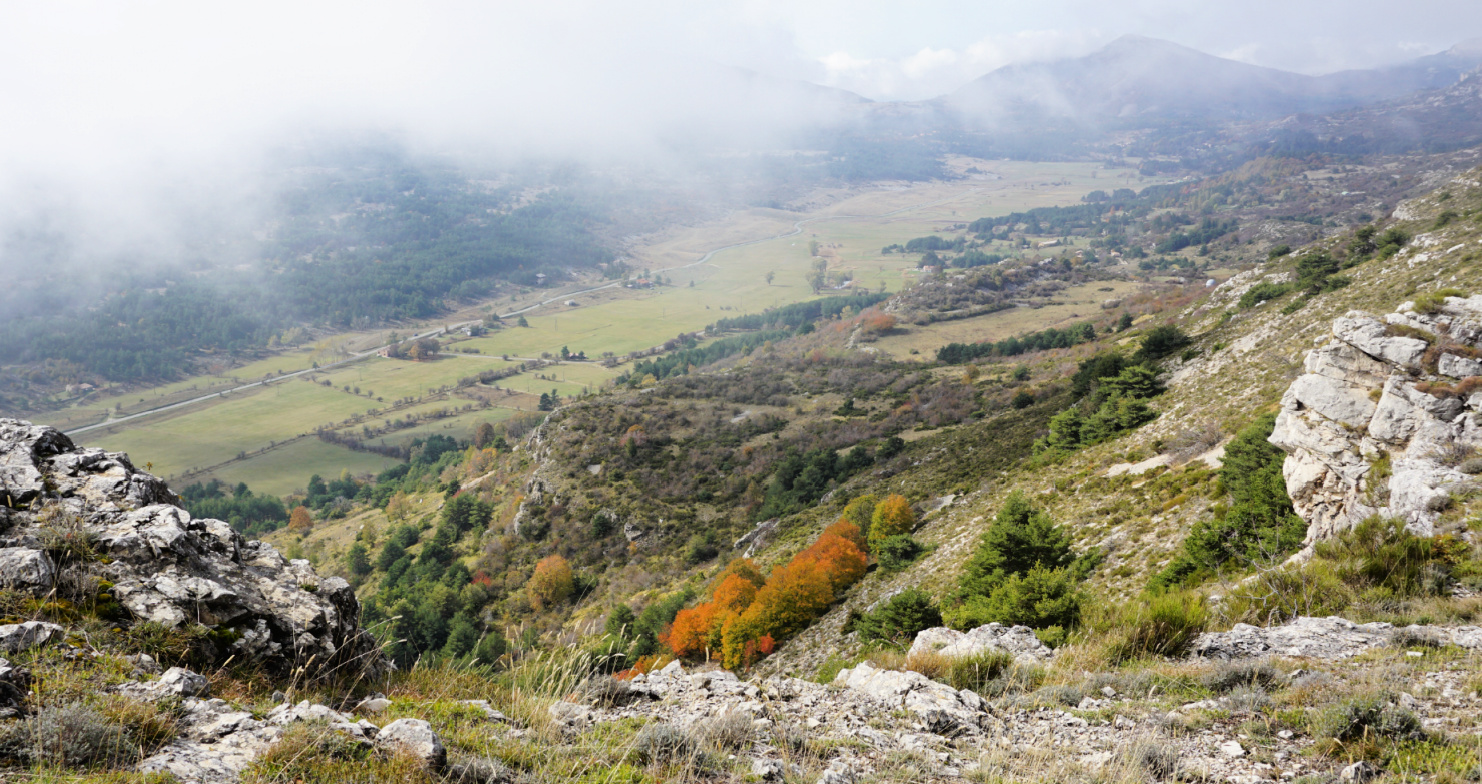
We drove to Bélvèdere in the Vésubie River Valley, then followed the narrow M171 in the Gordolasque Valley, and parked next to signpost # 271 at 1380 m (a sharp bend just after Cascade du Ray waterfall), showing directions to Crêtes des Terres Rouges; Serre de Clapeiruole.


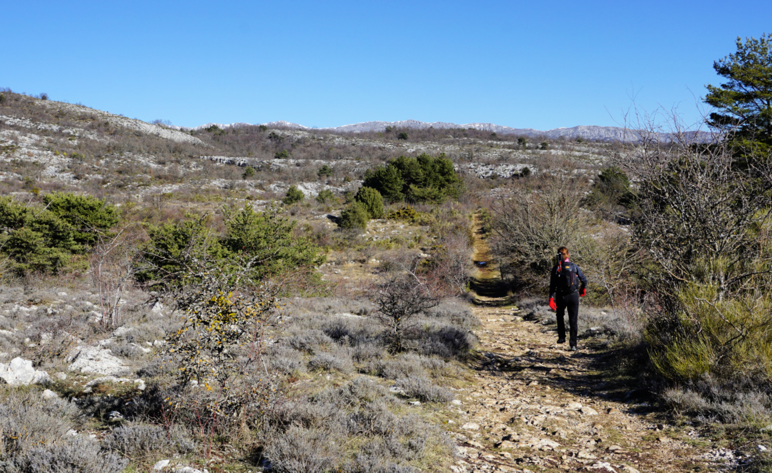
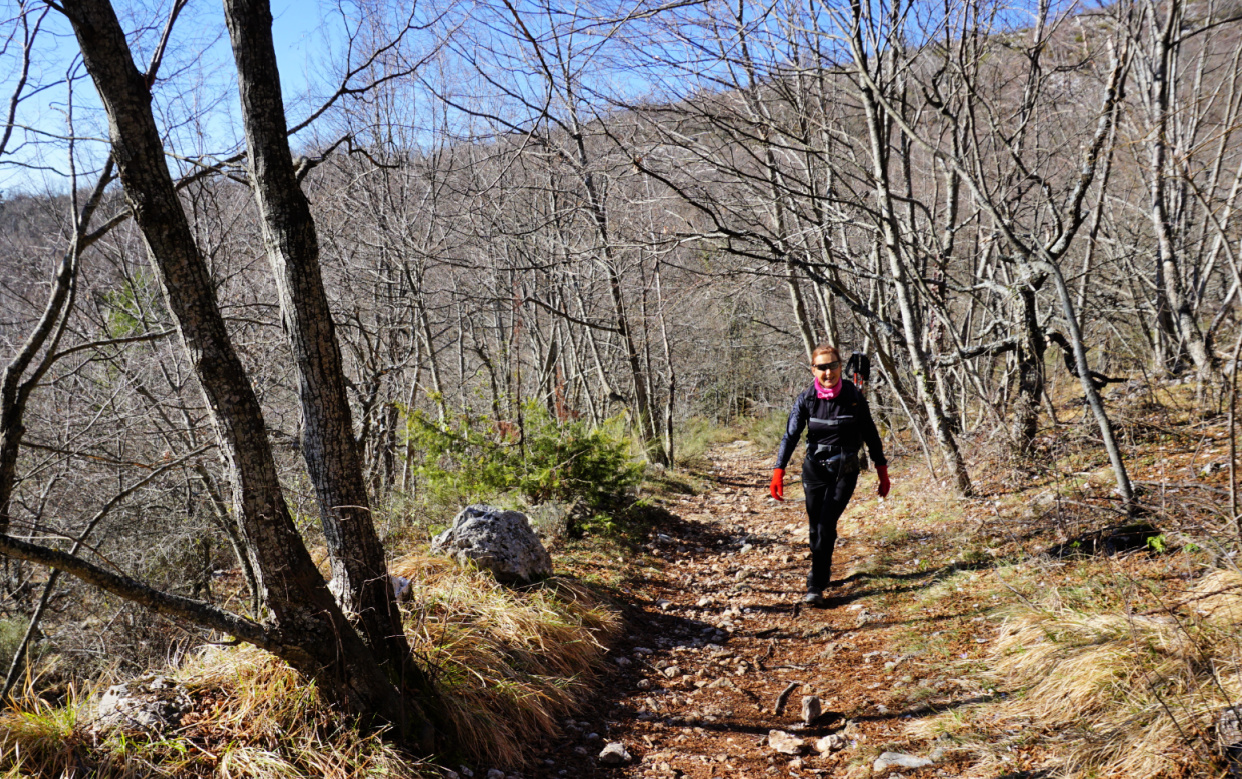
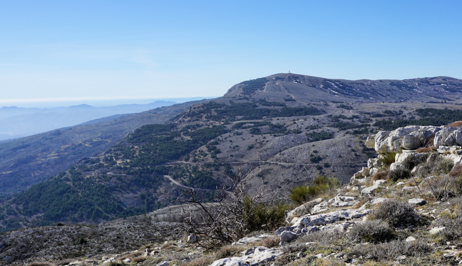
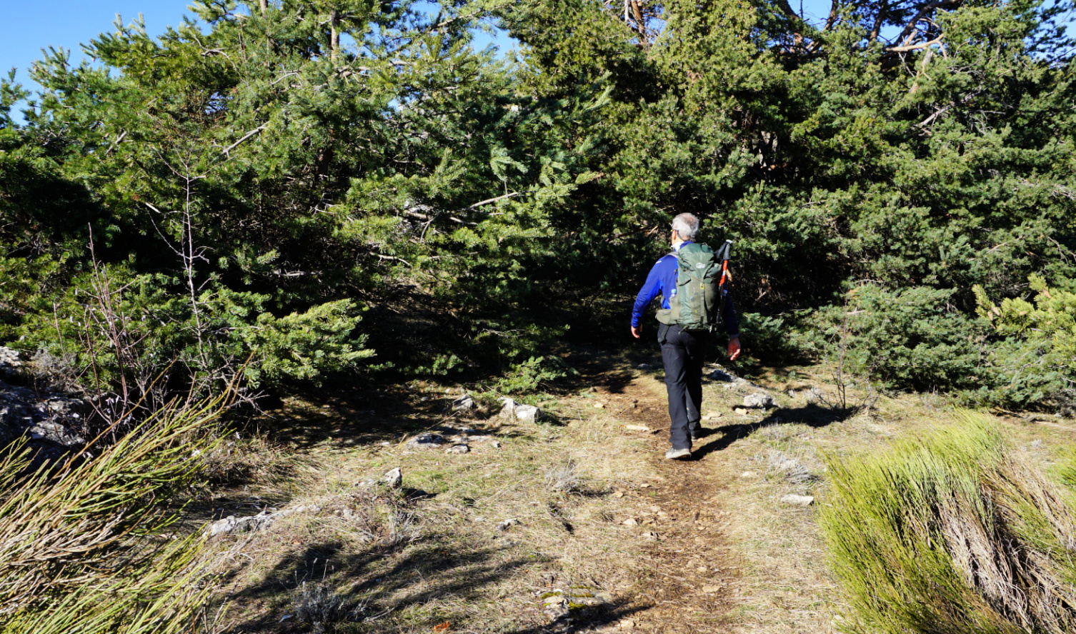
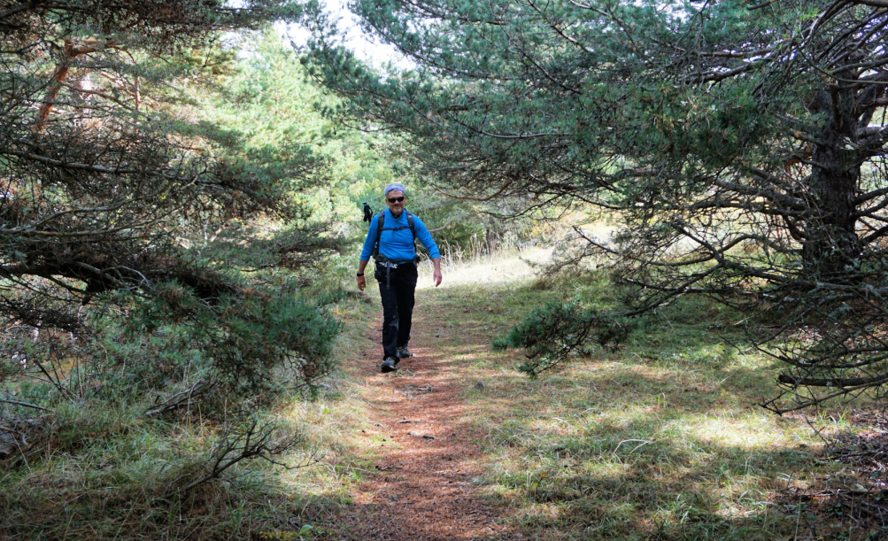
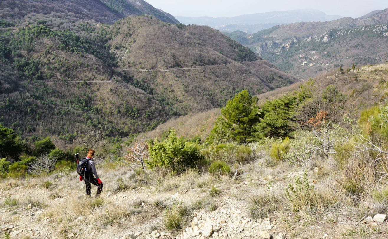
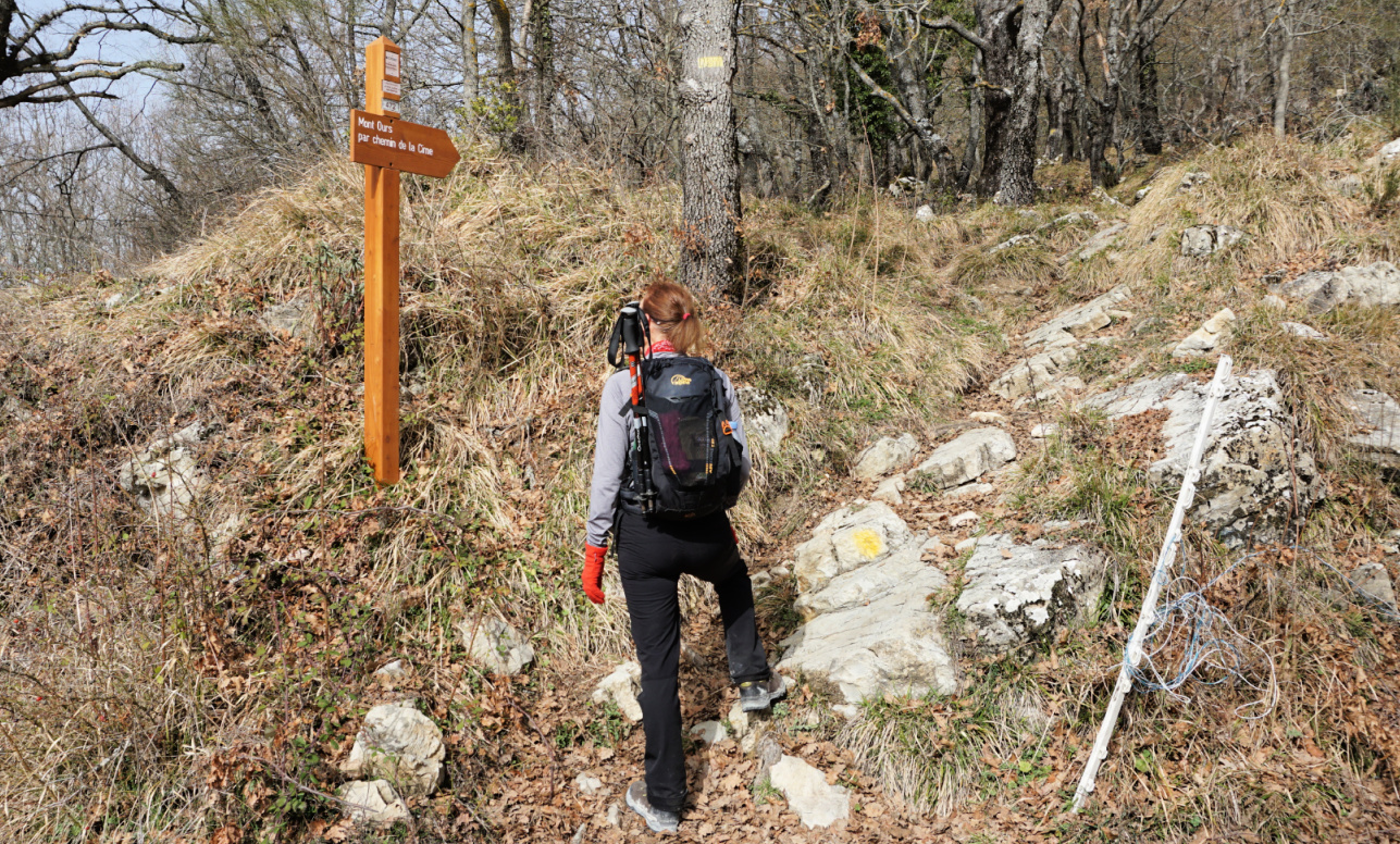
We hiked southwest along a good dirt track and after 2 km came to a clearing at 1519 m. Here, at signpost # 263, we forked left (east) into the woods and ascended along a nice path in Terres Rouges. Gradually, the forest was replaced by Alpine meadows. There were yellow markings as far as to a meadow with a telecom mast. The marked trail descended back to the Gordolasque Valley (St-Grat) from here. We continued straight, staying on the ridge called Serre de Clapeiruole. There was a barely visible trail in places, and small cairns here and there.

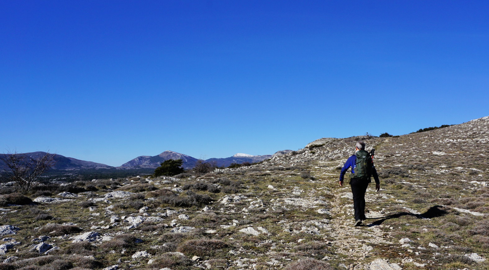
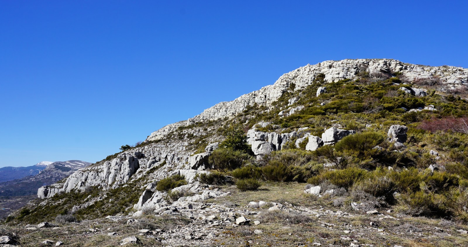
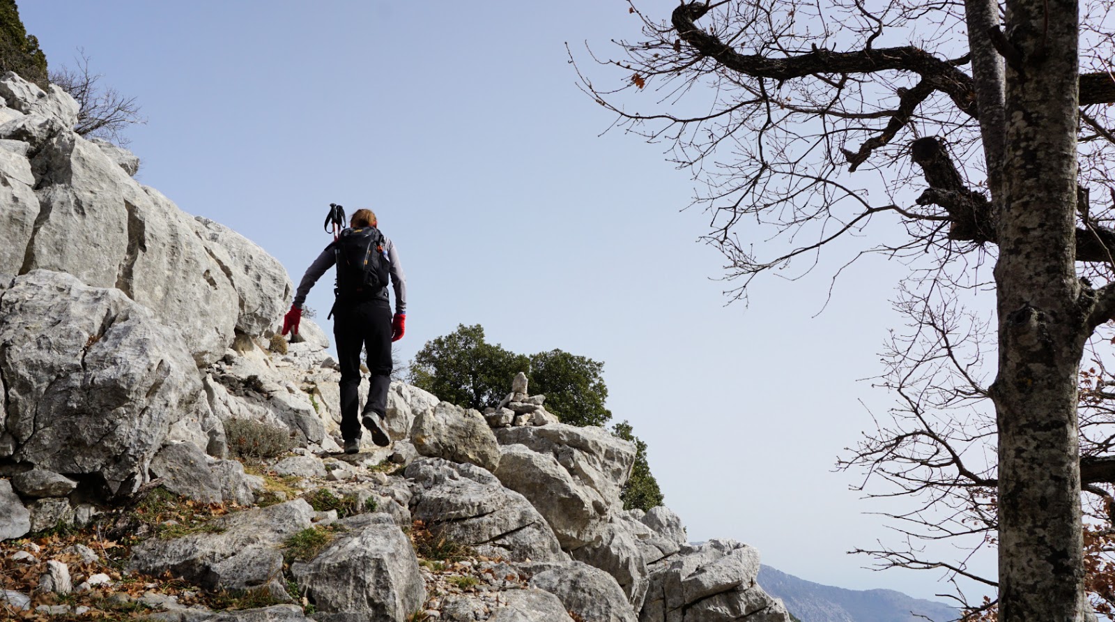
 We reached the border of Mercantour National Park, marked with two large green dots. Here we climbed straight on.  After a short albeit steep ascent, we came to another flat Alpine meadow between two sharp cliffs. We now had the southwestern flank of Mont Capelet Inférieur in front of us.

We climbed quite steeply along the soft mountain slope, heading approximately northeast, then turned gradually north to the summit.

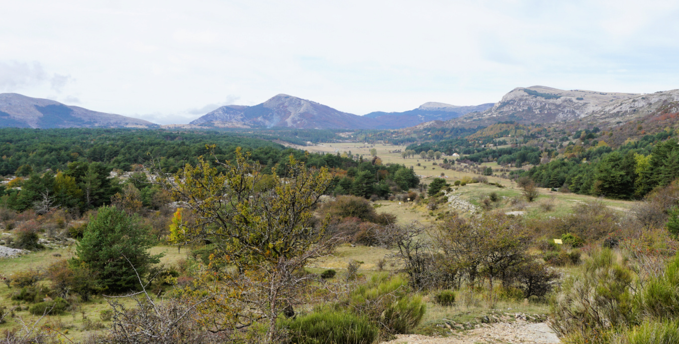
A big cairn marked the highest point in the middle of the summit plateau. The nearby Diable and Capelet Supérieur dominated the landscape in the east but we had a 360° panorama of 3000+ Mercantour peaks near the Italian border.

We headed back using the same itinerary. Our return route was easier to see from above, notably the section that went between the two cliffs (image with arrow). On either side of these, the terrain was quite steep and rocky.


Distance: 13 km       

Climb: 1040 m

Duration: 5 h 20

Map: Vallée de la Vésubie 3741 OT 

Mont Capelet Inférieur trail track


Gordolasque Valley location


Wilted spinach with golden raisins and pine nuts

Wilted spinach with golden raisins and pine nuts


This tasty spinach recipe originates from the Italian Riviera. The Italians seem to love spinach; I remember one week in late October when we stayed in Rome and all the restaurants had every day wilted spinach as their vegetable side, contorni.

The golden raisins and sautéed pine nuts give added flavour to this side which goes nicely with simply prepared salmon or other fish and new potatoes or rice mixture.

2 servings

2- 3 handfuls of baby spinach leaves, pref. organic

2 tbsp. golden raisins

3 tbsp. pine nuts

2 tbsp. olive oil

1 shallot, chopped

1 clove garlic, minced

Freshly ground black pepper


Cover the raisins with boiling water and set aside to get plump.


Warm the olive oil over medium- low heat in a large saucepan and gently sauté the pine nuts until golden, about 5- 10 minutes. Remove them from the oil and set aside.


Add the onion and garlic to the saucepan and cook for about 5- 10 minutes, stirring frequently, until soft but not browned.


Wash and dry the spinach leaves or use a bag of washed baby spinach leaves. Add them to the saucepan and cook, stirring occasionally, until wilted.


When the spinach is done, drain the raisins and add them together with the pine nuts to the saucepan. Add a few grindings of black pepper and divide n the plates.


Gourdon to Colle de Rougiès


Colle de Rougiès summit


We have previously hiked to Colle de Rougiès (1334 m) by crossing the Caussols Plateau from Les Claps. On a clear day, the ridge offers great hiking, with good trails and super views. We now wanted to explore another itinerary starting from Gourdon.


We drove to Gourdon, turned left at the village entrance taking D12 road which we followed 1.8 km as far as to a parking (840 m elev.) on the right-hand side of the road. From the parking (signpost #12), it took us less than 30 min. to reach the western Col de Cavillore (1030 m elev.). We headed north on Plateau de Cavillore and soon merged with the GR51 trail (signpost #11). We followed the GR51 as far as to the next crossroads at signpost #163 where we forked left.

We ascended along the wide eastern slope of the ridge to signpost #46. This is where we ascended to from the Caussols Plateau on our previous hike. We continued along the ridge, still climbing a bit more. The familiar cairn on top of Colle de Rougiès became visible. Fortunately, the winter day remained clear, and the scenery was super! 

We returned along the same trail. There are several avens, or pit/sink holes in this limestone terrain, one just beside the path. Another reason to stay on the trail!

Starting the hike from the Village of Gourdon would take about 40-45 min more each way and include about 100 m more climbing.


Duration: 4 h

Climb: 530 m

Distance: 12 km

Map: Cannes Grasse Côte d’Azur 3643 ET

Gourdon to Colle de Rougiès hike


Baked white fish in tomato sauce and capers


Baked white fish in tomato sauce and capers

Many kinds of white fish work in this recipe, cod, sea bass, red fish, or monkfish. The Italian tomato sauce, white wine, capers, shallot, garlic, and dried herbs give a rich Mediterranean taste to fish.

2 servings

2 nice pieces of boneless white fish

Olive oil

1 shallot, chopped

1 clove garlic, minced

50 ml white wine

1 tsp. dried Provençal herbs

400 ml Italian tomato sauce

2 tsp. capers

Freshly ground black pepper

4 tbsp. dried bread crumbs


Preheat the oven to 200°C.


Warm 1 tbsp. olive oil over medium heat in a frying pan and gently sauté the shallot and garlic for about 5 minutes. Add the white wine and dried herbs and continue cooking until the wine is somewhat reduced. Pour in the tomato sauce and add the capers and black pepper. Mix and let cook for a few minutes.


Spread some olive oil in an oven- proof dish large enough to hold the fish in one layer. Place the fish in it and pour the tomato sauce around the fish, partly covering it. Sprinkle the bread crumbs on top and drizzle with some olive oil.


Bake for 20 minutes until the fish is cooked and the top is nicely browned. Serve with new potatoes, wilted spinach and lemon wedges.


Baked white fish


Caussols: La Colle de Rougiès


La Colle de Rougiès


The commune of Caussols (Village at 1130 m elev.) located in Grasse hinterland, northwest of Gourdon offers several interesting hiking opportunities. Paved roads reach over 1000 m elevation which makes the region popular as many of the summits and ridges can be reached with a relatively moderate effort. 

We have previously hiked to Haut Montet (1335 m; Civil Aviation Radar) which is actually located in the neighbouring commune of Gourdon.

This time we wanted to explore the ridge north of Plateau de Caussols, comprising La Colle de Rougiès (1334 m). Instead of parking by the D12 road, we drove up to Les Claps Parking where the trail to Haut Montet starts.


We walked back 200 m to signpost #43 and headed north along a wide trail, an ancient Roman Road. Several avens, sinkholes, were marked in the map next to the trail. We did not explore them as they were mostly covered with vegetation.


After about 600 m, we forked right (northeast) along another wide trail and soon came to the D12 road and Col de l’Ecre (1120 m). We followed the road north about 300 m to signpost #45. We forked right (east) to a marked trail and soon started to climb, eventually in a steep but short slope to signpost #46 which marked the eastern point of the ridge. Staying on the ridge, we headed west towards La Colle de Rougiès, climbing slowly mostly in open terrain, sometimes in a beautiful pine wood. The trail was soft and good.


La Colle de Rougiès summit was marked with a large cairn. In the west, we saw the Côte d’Azur Observatory on Plateau de Calern and Montagne de Thiey (1553 m) further away above the Plateau of Caussols. A wide trail continued to the observatory and beyond.


Our trail followed the edge of the ridge a few hundred meters to signpost #47. We then descended steeply, the trail was rocky and later somewhat overgrown. There were parallel markings (yellow) and cairns here and there. We came to a paved road which led us to the D12 road. We crossed it, and started to ascend along the pebbled Roman Road, Voie Romaine, which we followed back to our starting point.     


Distance: 8,5 km   


Climb: 360 m


Duration: 2h 50


Map: Cannes Grasse Côte d’Azur 3643 ET


Colle de Rougiès hike track


Ravioli gratin with tomatoes, aubergines, and chevre

Ravioli gratin with tomatoes, aubergines and chèvre


Traditional ravioli in Nice is filled with ricotta and basil or ricotta and spinach. Aubergine slices fried in a generous amount of olive oil are typical in Mediterranean recipes. If you want to reduce the amount of oil in your recipes, you can brush the aubergine slices with olive oil and roast them in oven.

Goat cheese, chèvre, gives the South of France flavour to this gratin. Instead of goat cheese you could use mozzarella which in fact melts easier.

2 servings

3 tomatoes

6 aubergine slices

1 shallot, chopped

1 clove garlic, minced

1 tsp. Provençal herbs

About 180 g full-fat goat cheese, chèvre

Olive oil

Freshly ground black pepper

Fresh basil to decorate 

Ravioli for 2 servings


Wash the aubergine and cut 6 slices about 0,5- 1 cm thick. In a large skillet, warm a generous amount of olive oil over medium heat and fry the aubergine slices until soft.


In another frying pan, warm 2 tbsp. olive oil over medium heat and sauté the shallot and garlic for about 5 minutes. Wash and chop the tomatoes and add to the pan. Add the Provençal herbs and black pepper and continue cooking.


In a large casserole, bring water to a boil. Add the ravioli to the boiling water and cook for 4- 5 minutes. Then dry them on a clean kitchen towel.


Slice the goat cheese and oil an oven- proof dish. 


Mont Ours from Ste-Agnès


Mont Ours

 Mont Ours (1236 m) above Ste-Agnès (main village at about 650 m elev.) has, as many other coastal summits, had historically a strategic importance. 

A small fortress was erected on the mountain top already in the late 19th century. When the Maginot line was built in the 1930s, several fortifications were built in the area en masse, such as the one above Col des Banquettes on the southern flank of Mont Ours.

The battle of Mont Ours took place on 12/13 September 1944, one month after the Allied landing. A commemorative plaque honouring the First Special Service Force (American and Canadian), and local resistance fighters was unveiled on the fortress wall in 2014.

Today there’s a forest fire observation post as well as several telecom masts on the summit.

Hiking trails above Ste-Agnès are numerous. You can design your own itinerary as you wish.

We have previously hiked to Mont Ours from Col de Castillon situated northeast of the mountain. We now wanted to explore the route from the south.


From Ste-Agnès village entrance parking (about 600 elev.), we headed northwest along a yellow-marked path, ascending to Pas de la Piastre (935 m elev.). Signpost #475 had disappeared but at the crossroads we took the right-hand path to Col des Banquettes (736m). The left-hand path went up to Cime de Baudon. The path descended in a pleasant forest.  

At the Col, we crossed the paved M22 road. One of the signposts #470 had disappeared (the other one was intact 70 m south).  We started to climb along the main marked path, passing some bunkers. The gradient increased and the terrain became rockier. We were guided by cairns, fading yellow markings and the digital map.

We passed signpost#472 where a wider trail went to Col de Verroux. We continued straight north to the summit. The main gate was locked but a gap was made for pedestrians. With all the installations, it was not your pristine mountain top to be honest. We were reminded of the WWII battle. The day was warm but hazy (desert dust), limiting otherwise great views.

We decided to return to Col des Blanquettes along the same trail instead of doing a loop via Col de Verroux. The 18.00 curfew had been implemented in France because of the pandemic. From the Col, we took the shortest way back to our starting point along the M22 road (very little traffic).

Hiking to Mont Ours from Col de Castillon is easier. Many hikers seem to drive up to Col des Blanquettes, starting their walks from there.

Climb: 830 m

Distance: 10 km

Duration: 4h 30 active hiking time

Map: Nice Menton Côte d’Azur 3742 OT

Mont Ours hike track