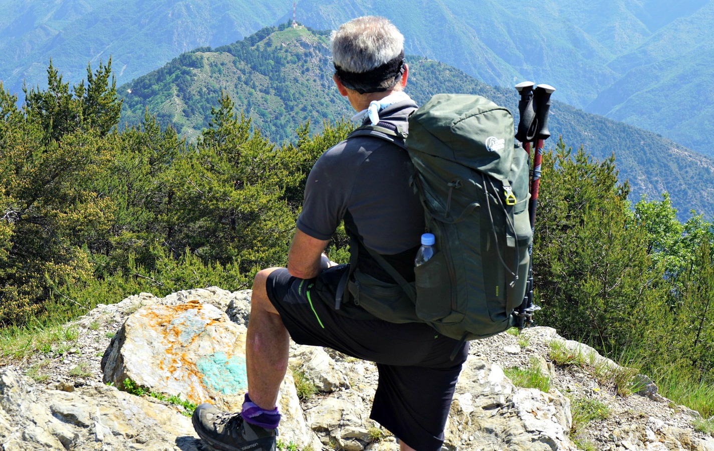
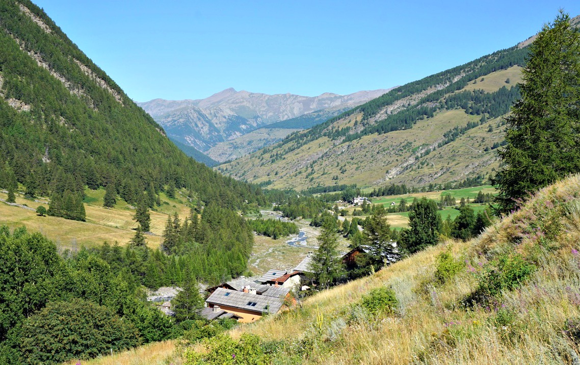
Situated north east of Sospel, Mont Gros (1272 m) can be easily reached along hiking trails from Col de Brouis by the D2204 road (879 m).
Several bunkers on Mont Gros remind us of its military history. Built between 1931 and 1935 as part of the Maginot line, it was allegedly the most expensive fortification in south east France. The only battle where Mont Gros was involved in took place in June 1940, against the approaching Italian troops. The French withdrew from the fortification in July 1940.
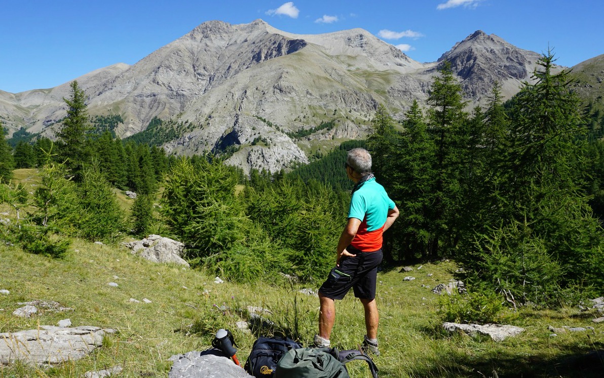
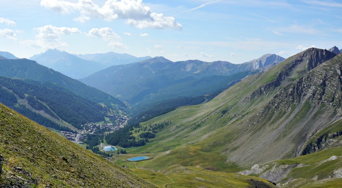
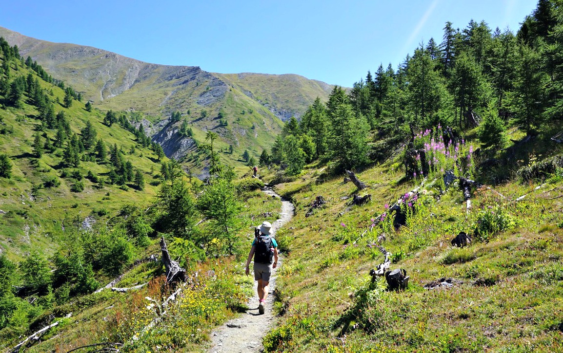
The two summits mark the south-eastern point of the Mercantour National Park. The southernmost fir tree forest of the Alps covers the northern flank (inside the park) of Mont Gros.
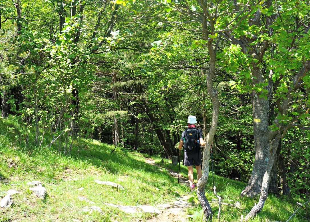
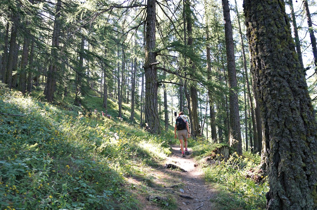
We drove through Sospel and took the D2204 road towards Breil-sur-Roya. We parked at Col de Brouis next to our trailhead, and walked back 100 m to signpost #124. We forked right and walked first along a dirt track, passing a ruined garrison. Following yellow markings, we came to signpost #125 bordering the Mercantour Park. We then ascended continuously in the woods as far as to Baisse de Levens (1068 m), and a crossroads at signpost #139. The trail that forked right went to Mangiabo (1821 m); we took the opposite direction (east) and ascended gently along a trail that ran along the northern flank of Mont Gros in the fir-tree forest.
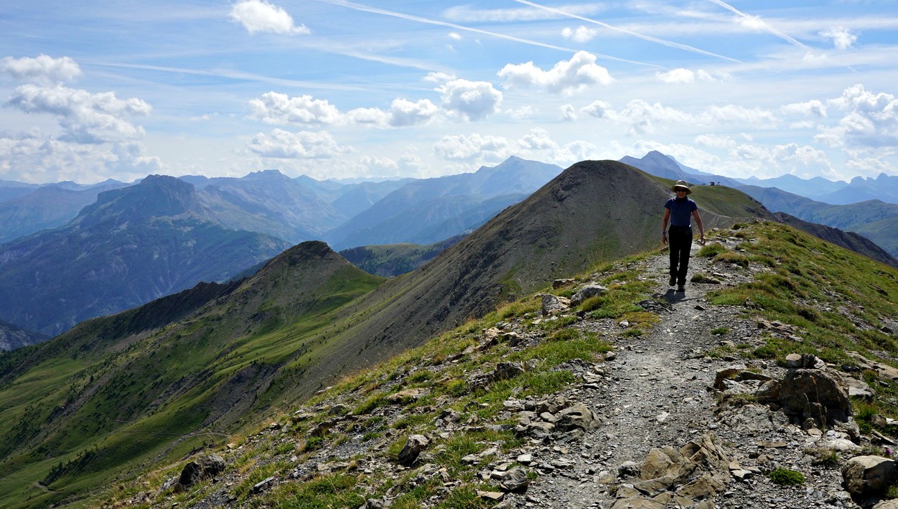
We emerged from the forest and reached signpost #138 on a grassy ridge, turned south and climbed steeply towards the mountaintop. The views from the ridge were excellent, notably towards Sospel, the Bévéra River Valley and the coastal mountains.
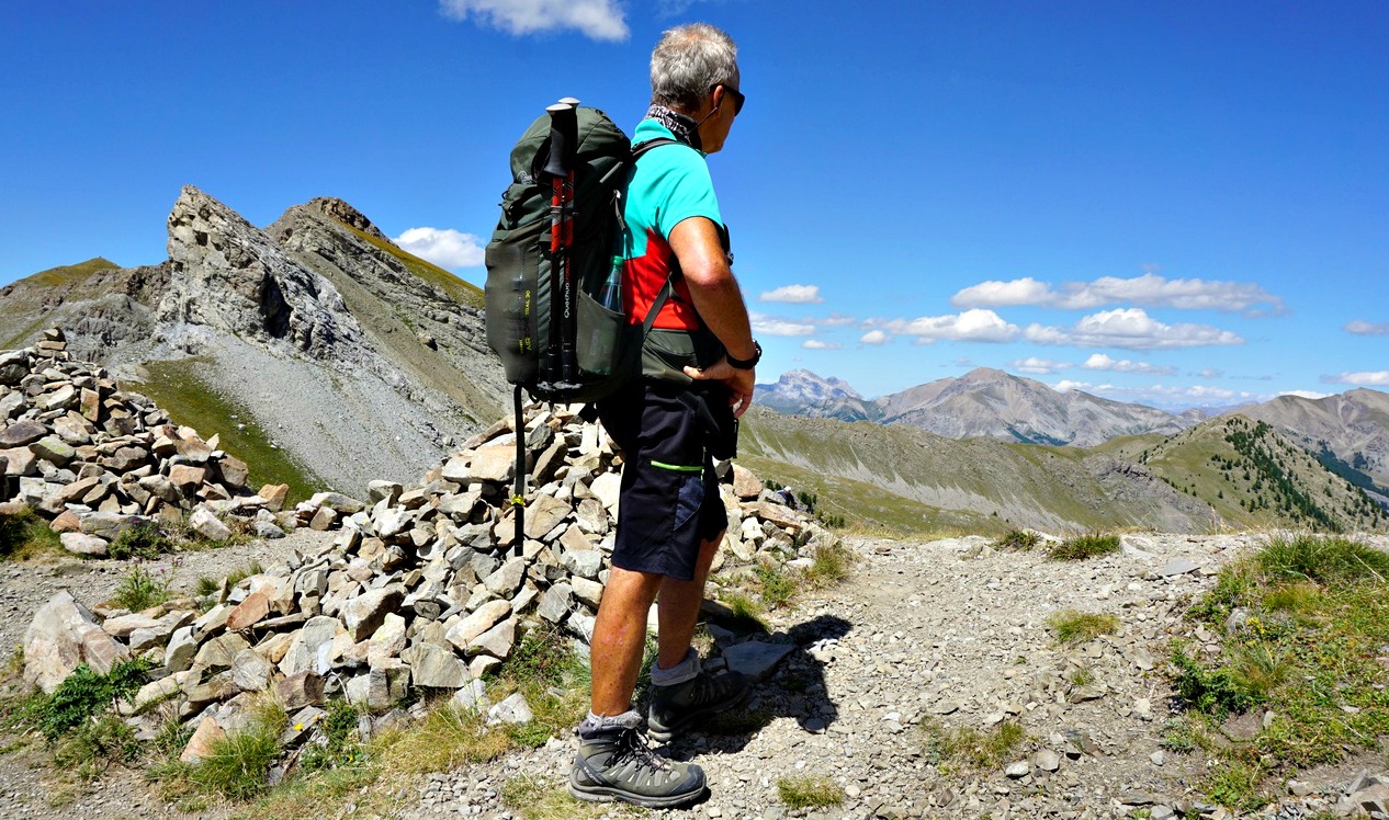
We passed the first bunker just before the summit. We climbed to the eastern summit (1266 m), above some bunkers and turrets. We had the best views from here. Continuing southwest, we passed several concrete structures, and climbed to the western summit (1272 m). In spite of being the highest point, it was less impressive. We explored the area a bit more after our picnic break, then descended back along the same trail.
Duration: 3h 30 active
Distance: 8,8 km
Climb: 430 m
Map: IGN TOP 25 N°o 25 “Vallées de la Bévéra et des Paillons” 3741 ET
This is a great recipe in autumn and winter when butternut is in season. Roasting gives butternut a nice sweetness which goes well with duck breast.
The Moroccan spice mixture Ras el Hanout adds an exotic twist to roasted butternut. If you cannot find Ras el Hanout in your shops, it is easy to make by mixing ground turmeric, cinnamon, clove, nutmeg, ginger, black pepper, and chili powder.
Roasted butternut cubes can be replaced by fried mushrooms; another great autumnal vegetable.
2 servings
1 duck breast, magret
For the roasted butternut:
About 2 handfuls of butternut cubes
1 tbsp. olive oil
1 tsp. Ras el Hanout
For the risotto:
120 ml risotto rice
120 ml white wine
About 700 ml chicken stock (you may not need it all)
1 shallot, chopped
1 clove garlic, minced
2 tbsp. olive oil
About a handful of grated parmesan
Freshly ground black pepper
Preheat the oven to 200° C, roast.
Place 1 tbsp. olive oil and 1 tsp. Ras el Hanout in a plastic bag. Add the butternut cubes and give the bag a good shake. Line an oven tray with baking paper and pour the butternut cubes on it in single layer. Roast 20- 30 minutes until soft and nicely coloured.
Meanwhile cook the duck breast and make the risotto.
Criss’ cross the fat- side of the duck breast. Warm a heavy iron or steel pan over medium heat and start cooking the duck breast the fat- side down. After 10 minutes, turn the breast and continue cooking for 8 minutes. Transfer to a cutting board.
Make the risotto the classic way like in the recipe Seafood risotto with a twist.
When everything is ready, slice the duck breast. Divide the risotto on two large plates and flatten to make a bed for the butternut cubes. Place the duck breast slices on the side. Bon appètit!
Lac d’Allos (2230 m) is a major attraction during the summer season. Located in the Mercantour National Park, it is the largest natural high-altitude lake in Europe. The mountains around the lake offer several hiking itineraries, culminating in Mont Pelat (3051 m).
Our goal today was a mountain pass called Col d’Encombrette (2527 m), south of the lake.
To reach the area from the Village of Allos, you have to drive up to one of the parkings by the paved D226 road. The parking Laus (2110 m) is highest and nearest the lake and costs 8 €, maximum capacity about 180 vehicles. There are parking possibilities by the road several km earlier. We chose to use the free La Cluit parking (about 1800 m). The trail from la Cluit connected with the GR56B/GRP trail which went to the upper parking, the lake and beyond.
Most visitors drove up to the upper parking, but even the lower one at La Cluit was busy early in the morning. This parking was unpaved, potholed, rocky and in an incline so be careful.
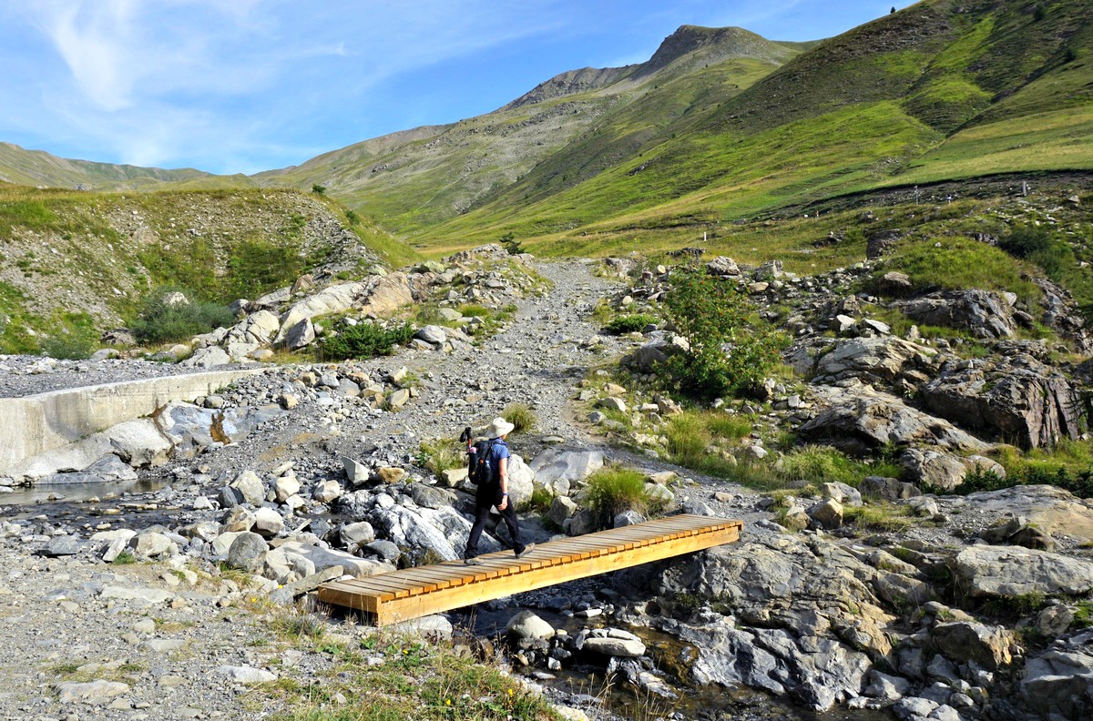
From La Cluit, we descended a bit along a PR trail which soon merged with the GR56B/GRP. We crossed a stream named le Chaudolin along a bridge (1713 m; the lowest point of the hike) and started to ascend. We passed Cascade de Chaloudin, then crossed the paved road a few times before reaching the upper parking. We crossed Plateau du Laus and turned south along a wide trail.
At the crossroads to the Lac d’Allos, we headed south towards Col d’Encombrette while most visitors forked left to the lake. We reached the tree line, and entered an area of vast alpine meadows, climbing gently. We had soon Lake Allos on our left-hand side and Mont Pelat dominating the landscape in the north. The trail was good and easy to follow all the way, and we saw Col d’Encombrette in front of us. There was a huge flock of sheep moving along our path, but interestingly no dogs nor shepherds. We had to wait a bit to let them pass before our final ascent to the mountain pass.
Deep in a basin below us, in the south, we had Lacs d’Encombrette while Tête de l’Encombrette rose to 2681 m behind them.
The col was a perfect spot to have a picnic break, and to admire the unique scenery.
We used the same trail back to La Cluit.
Map: 3540 OT Barcelonnette, Pra-Loup, Le Sauze, Allos
 |
Col d'Encombrette track
|
 |
Col Encombrette track satellite view
|
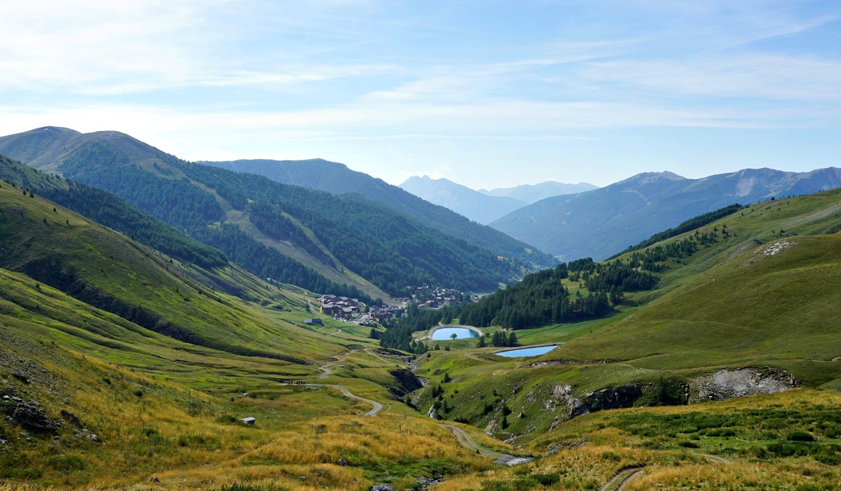
Tête de la Sestrière (2575 m) is a summit above La Foux d’Allos (1800 m) mountain resort. The River Verdon has its sources on the mountain’s southern flank. The GR 56 long distance trail goes via the summit. From the upper Allos Valley, the mountain can be easily reached either from Col d’Allos (GR56) or from La Foux d’Allos using the GRP Tour du Haut-Verdon trail which connects with the GR 56 trail at Col de la Sestrière (2461 m).
We started from the southern end of La Foux d’Allos (L’Abrau; 1780 m), walked past the main square, located the signpost, and climbed northwest. We passed some ski lifts and crossed a few streams which formed the Verdon River. We reached a dirt track (at a signpost named Vallon des Sources) just after having crossed the Verdon. We continued the ascent along it as far as to Cabane de la Sestrière. At the Cabane, we left the track and continued along a path, still with GRP (yellow/red) markings. We crossed the track several times, ascending more steeply.
We reached the GR56 at Col de la Sestrière on a long ridge (Crête de la Sestrière) and forked left to our goal. The nearby Grand Seolane (2909 m) dominated the landscape in the north, but we had a great view down to the Ubaye Valley further away in the northeast. The numerous sources of the Verdon River were clearly visible.
We used the same trail for our initial descent but after Vallon des Sources walked along the dirt track on the river’s eastern side and eventually had to use the main road to reach the village, making a small detour. It is better to use the western side with pedestrian paths unless your accommodation happens to be on the eastern side of the river.
Duration: 4h 30
Climb: 800 m
Distance: 12 km
Map: 3540 OT Barcelonnette Pra-Loup Le Sauze Allos
 |
Tête de la Sestrière hike track
|
View from l'Echalp:
Col Lacroix (2299 m), less then 4km southeast of Col d’Urine, is
another mountain pass bordering France and Italy. It used to be one of the
ancient trading routes between Queyras and Piemonte. In the mid 19th century,
a Refuge Napoléon was built near the col. It remains in ruins after
WWII.
Ascent to Col Lacroix is quite easy and the itinerary is included in local
guides. Moreover, it can be done as a loop hike.
We started from l’Echalp (7 km) from Abriès. The ascending trail was a GRP trail (GRP Tour du Pain de Sucre), first in a typical larch forest then gradually in open terrain. We had Torrent de Combe Morette on our left-hand side and Crête de Praroussin above us to the right. Across the torrent, we saw our descending GR58 trail.
We passed the Refuge Napoléon ruins and reached the mountain pass soon
afterwards. We saw other hikers taking a break and apparently feeding some
sheep dogs. The sheep and goat flock seemed to be safe though, above the col
on a steep grassy slope. It was a clear day, no low clouds or fog from Italy,
and we had great views.
We walked back a few hundred meters then forked right to GR58 which followed
the other side of the torrent, eventually in the woods. In places, the trail
went very near the steep gorge of Torrent de Combe Morette. Approaching
the Guil Valley, we crossed some meadows and a stream. We reached the main
road (D947), forked right and walked towards the hamlet of Monta where
we crossed the Guil River, forked left and ascended a bit before reaching
l’Echalp.
Duration: 4 h
Distance: 10,5 km
Climb: 680 m
Map: 3637 OT Mont Viso St-Véran Aguilles PNR du Queyras