Les Orres: Hike to Lake Ste Marguerite

Lac Ste Marguerite 2227m Les Orres


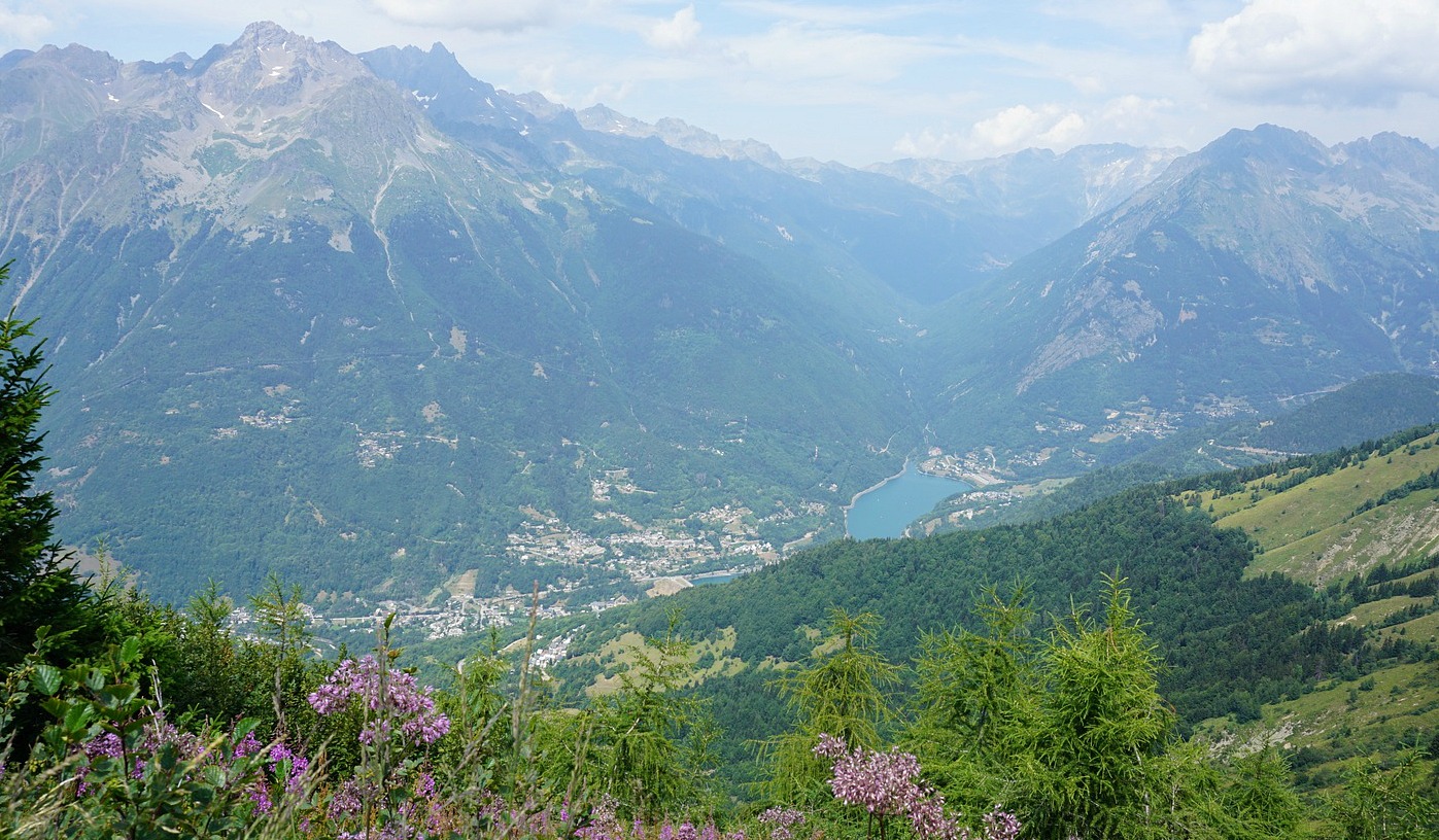
Les Orres ski resort in the southern French Alps near Embrun comprises in fact three resorts at different elevations. We had planned to make a hike from the highest village Les Orres 1800 to the Ste Marguerite Lake (2227 m). Luckily, we visited the resort and its tourist office the day before because on the day of our hike all the ski runs and hiking trails were closed because of an international junior mountain biking event.

The only trail available for hikers started from the Pra Païsset parking (1650 m). It went past a point called “Sources de Jérusalem”.

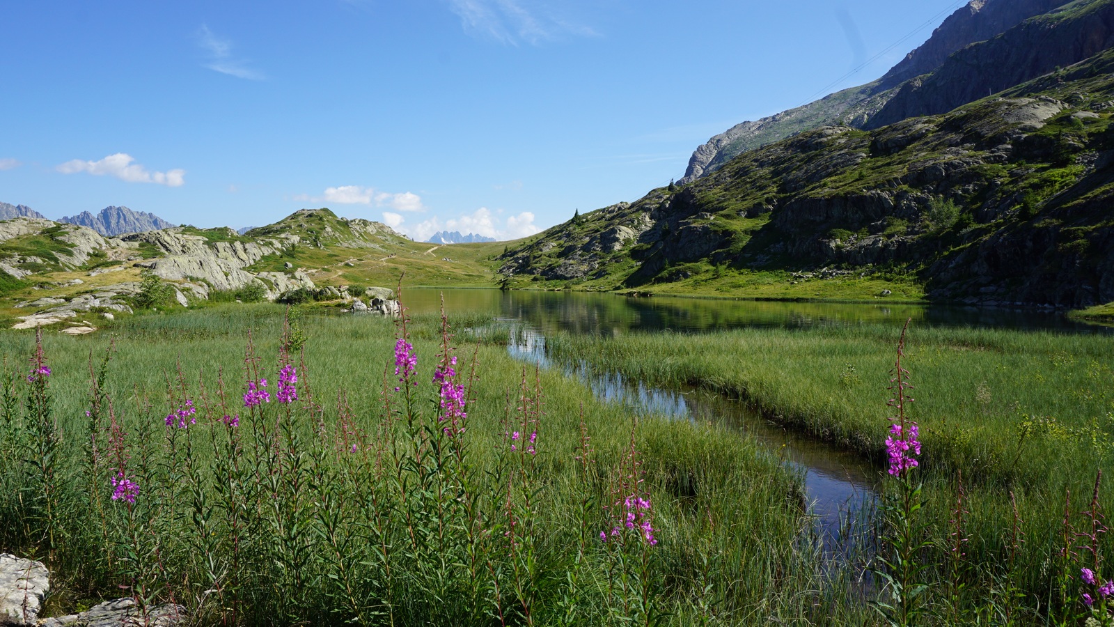
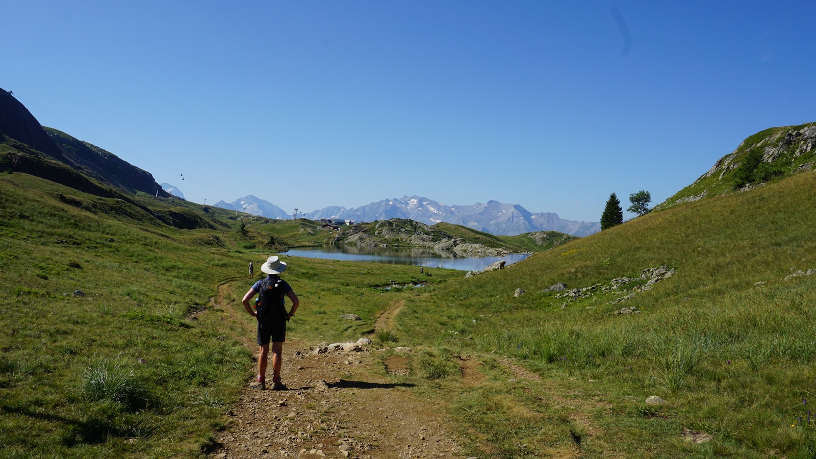
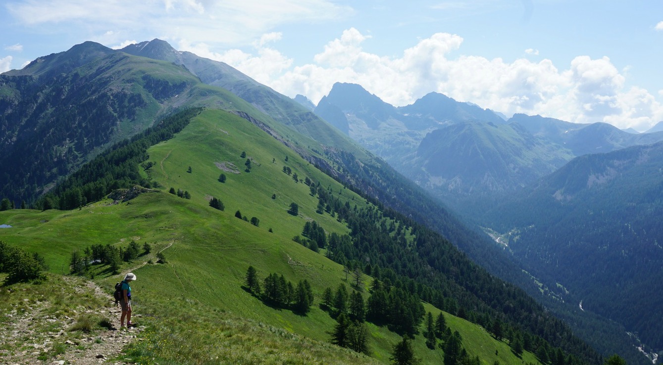
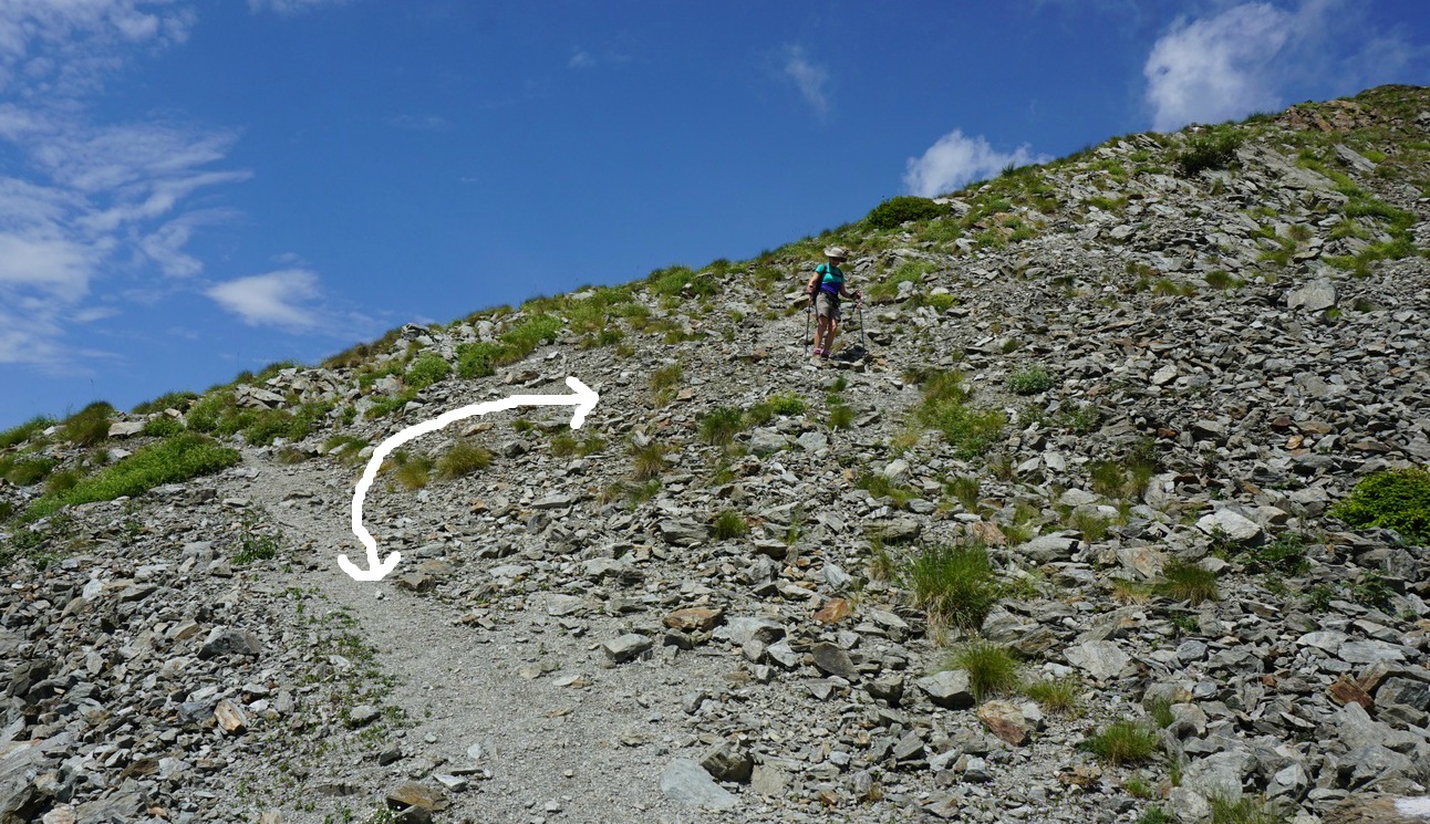
This turned out to be a lucky choice. The trail was very beautiful and far from the ski lifts. The first part of the trail was a wide piste and did not feel crowded at all. Higher up, above the tree line, the trail became narrower but you could walk almost anywhere along the alpine meadows.


From a small shop in the resort we bought a baguette, local cheese, ham, and tomatoes. We then drove to the vast parking a bit below the resort. The weather was perfect; warm with blue skies.

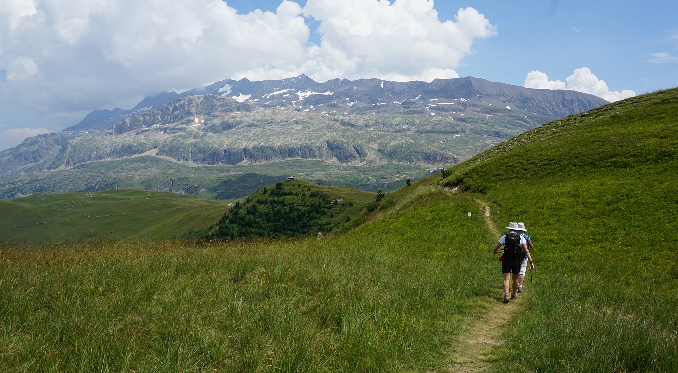
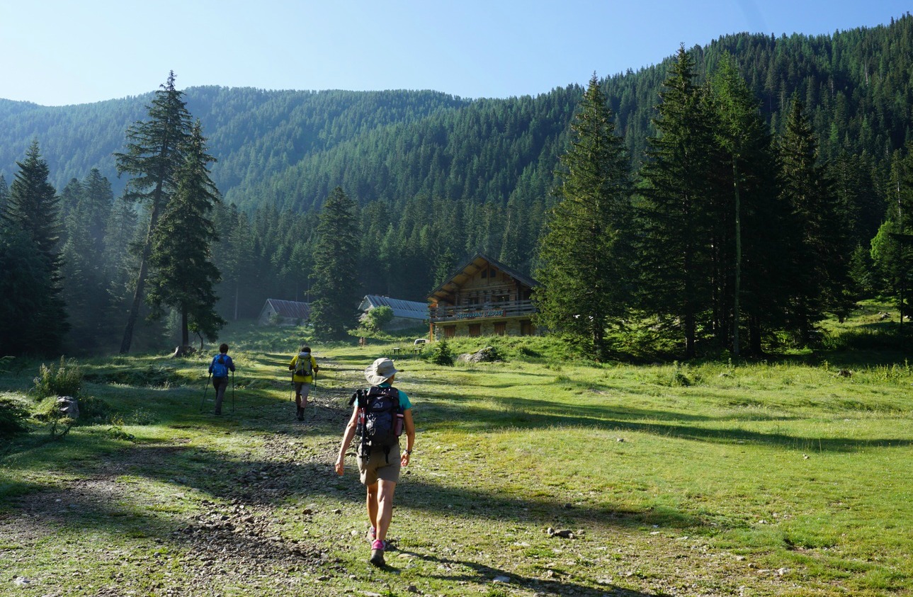
We ascended in a magnificent larch forest for about one hour before reaching the alpine meadows. Once above the tree line, the ascent became less steep, and it was a pleasure walking on the soft ground.

We reached the lake about 2 h after start. Climbing a bit above the lake, we found a good spot for picnic.

We returned along the same trail.

Hiking time: 3h 30

Lac Ste Marguerite hike trail image

Climb: 580 m

Distance: 10 km

IGN Map: 3438 ET Embrun Les Orres


Courgette panna cotta with fresh tomato sauce

Courgette pannacotta with fresh tomato sauce


Panna cotta is an Italian dessert which is nowadays very popular in France. In France, they also serve a non-sweet panna cotta made from vegetables as a first course.

We recently had a super courgette panna cotta with fresh tomatoes and broad beans in our hotel restaurant near Embrun in the southern French Alps. There the panna cotta was properly moulded before decorated with tomatoes and broad beans.

I made my simple twist of this recipe by serving the anna cotta in glass bowls and topping it with fresh tomato sauce. I also made the recipe lighter by replacing the traditional heavy cream with light cream 12% fat. Make this starter when the tomatoes and basil are at their best.

4 servings

1 medium size courgette
1 clove garlic
1 tbsp. olive oil
200 ml light cream 12% fat
2 gelatine leaves
2 tbsp. minced basil leaves
Freshly ground black pepper

For the fresh tomato sauce:

3 tasty and ripe tomatoes
1 tbsp. olive oil
Freshly ground black pepper
A pinch of salt
Basil leaves

In a small frying pan, heat 1 tbsp. olive oil over medium heat. Wash and dry the courgette; Cut into small chunks and add to the pan. Peel the garlic clove, press and add to the pan Add black pepper and sauté for about 10 minutes. Then purée and set aside to cool.

Soak the gelatine leaves in a small bowl of cold water for about 5 minutes until soft. Meanwhile warm the cream gently in a small casserole until hot but not bubbling. Remove the gelatine leaves from the water, squeeze out any excess water ad add to the hot cream. Stir until dissolved. Add the courgette purée and mix well.

Divide the mixture into 4 small glass bowls, cover and place in the refrigerator for at least 4 hours until completely set.

Make the fresh tomato sauce just before serving.  Wash and dry the tomatoes. Cut into very small pieces and place in a sieve for a while o get rid of some of the excess liquid from the tomatoes. Then place into a bowl and stir with olive oil, black pepper, salt and minced basil leaves. Divide the tomato sauce on top of the panna cotta and serve.

Alpe d'Huez: The Lakes Trail

Lac Besson Alpe d'Huez


The following hike offers a great alpine atmosphere with little effort and negligible elevation gain. A paved road (Route des Lacs) continues north of Alpe d’Huez as far as to the parking of Lac Besson. Needless to say, on a clear summer day the parking was packed!

It is possible to hike all the way from Alpe d’Huez using the GR549 trail that runs parallel to the road or, as we did, to park a bit lower by the road as there are several good spots.


From our starting point, we reached the main parking in about 15 minutes. We continued to Lac Besson. Numerous parallel trails run on both sides of the lakes. We left La Noir on our left-hand side, and in fact one of the side trails circled along its western shore.

We continued straight north along undulating paths, came to Lac Faucille and finally descended a little to Lac Carrelet, with the l’Alpille gondola station above its northern shore. We ascended past the gondola and found a peaceful picnic spot before returning, now choosing somewhat different trails.

In spite of the proximity of ski lifts and gondolas, the lakes and their surroundings have preserved their natural beauty.

Distance hiked : 10 km

Elevation gain : 230 m
The lakes trail Alpe d'Huez

Minimum elevation: 2016 m
Maximum elevation: 2096 m

Duration: about 3 h

IGN Map: 3335 ET le Bourg d’Oisans l’Alpe d’Huez


Lake trail elevation profile

Alpe d'Huez: La Buffe

Viewpoint at La Buffe


Fancy a short loop hike above Alpe d’Huez? The nearest mountaintop located next to the village called la Grande Sure (2114 m) has grassy ski runs facing the upper part (Le Cognet) of Alpe d'Huez. Some mountain biking trails crossed the slope but were apparently in little use as the ski lifts up to this summit were not running in summer.


From our hotel (1820 m) we started ascending directly to la Grande Sure. On the soft alpine meadow, you could pick your route. At the summit, we followed the instructions of the signpost, heading northwest towards La Buffe (2039m), descending a bit.

At the viewing point of La Buffe (there was a viewpoint indicator), we could admire the views down to the valley (the Verney Lake, villages of Allemond and Oz) and of course the high peaks of the Belledonne chain and the Allevard Massif.

After a picnic break we continued along a picturesque trail, heading east. The trail ended in a dirt road, and we continued along it. There was livestock on both sides.

We soon reached a paved road (route des lacs), which also was the GR 549 trail. We crossed the road and continued back towards Alpe d’Huez crossing alpine meadows. Obviously, you can walk back along the trail next to the road.

Ascent: 290 m

Duration: 2h 50
La Buffe hike trail Alpe d'Huez

Distance: 7 km

IGN Map: 3335 ET le Bourg d’Oisans l’Alpe d’Huez


Panzanella salad

Panzanella salad


Panzanella salad and burrata salad are great light lunch dishes on a hot summer day. They both originate from Italy but are nowadays quite popular in Nice. Make these salads when tomatoes are ripe and tasty and basil is at its full summer flavour.

2 servings

2 ripe and tasty tomatoes
10 cherry tomatoes
1 green salad bell pepper
150 g mozzarella
1 package (100 g) croutons
8 black olives, pitted
1 tbsp. red wine vinegar
4 tbsp. olive oil
Freshly ground black pepper
A generous amount of basil leaves to decorate

Wash and coarsely chop the tomatoes and divide them on two plates. Wash the bell pepper, cut it length-wise and slice. Divide on the plates. Wash the cherry tomatoes, cut into halves and divide on the plates.

Drain the liquid from mozzarella, cut it into chunks and divide on the plates. Sprinkle croutons and black olives on the plates.

Make a dressing by whisking together the red wine, olive oil and some black pepper. Sprinkle the dressing on the salad and decorate with basil leaves.

Alpe d'Huez: Hike to Lac Blanc via Col de Charbonnière

Alpe d'Huez seen from Col de Charbonnière


Alpe d’Huez (1850 m) is a vast ski resort which is still growing. In summer, it hosts many events such as Tour de France, and during our visit a major triathlon competition.

The resort also offers some great hikes, but you have to do some planning beforehand. For example, some trails are only designated for mountain bikes. Many of the hikes recommended in local guide booklets require the use of the lift system, hence presenting mostly downhill itineraries back to the village.

We planned to do a loop hike above the village, ascending to Lac Blanc (2521 m) by taking the route in the Combe Charbonnière Valley.


To reach the trail head, we initially planned to take the shuttle bus to the Altiport, the small airport of Alpes d’Huez. However, the driver told us that the bus first descends down to Huez so the whole trip would take one hour! We decided to walk past a few construction sites and reached the Altiport in 20 minutes.

We continued past the Altiport, forked left at a signpost and started to ascend along a stony dirt road. From this signpost, the ascent to Lac Blanc was about 2h 30.

The dirt road ended at a private chalet with the American flag flying. Behind the chalet, we started to ascend more steeply in the beautiful Combe Charbonnière Valley far from the ski lifts. The trail was good and marked with yellow signs.
After a rather hot ascent we reached the signpost at Col de Charbonnière (2593 m). We ascended a bit more along a grassy meadow till we had a view of Lac Blanc directly below us. This was a perfect spot for picnic while admiring the summits and Alpe d’Huez below us.

We walked to the southernmost tip of the lake along a marked trail. We then descended fairly rapidly back to Alpe d’Huez along dirt tracks, taking several shortcuts along ski slopes and alpine meadows.

Elevation gain: 830 m

Hiking time: about 5h

Distance: 13 km

IGN Map: 3335 ET le Bourg d’Oisans l’Alpe d’Huez

Boréon: Cime de Piagu 2338 m

Cime de Piagu


We had decided to conquer another easily accessible summit above Boréon. In this sector, we had previously hiked from the lower parking of Boréon to Cime du Pisset.

This time we wanted to explore the same beautiful ridge, now heading west as far as to Cime de Piagu (2338m).

The lower parking is the first one you hit (1,5 km) on the paved M189 road after the main concession building in Boréon. The road to the upper parking still seems to be potholed but driving there gives you a 50-60 m higher starting point.


We started from signpost #419, walked past a small dairy and the upper parking where the wide main GR trail dove into the woods. After about 250 m, we left this trail, forked right at signpost #421 and started to climb in the Boréon Forest along a much steeper and rockier trail. We passed signpost #432 about halfway to the ridge.

Eventually we came to a refuge (Refuge privé de la Mairis) and the vast mostly treeless ridge with undulating hills in both directions. At Col de la Mairis and signpost #431 (2124 m), we headed west. There were yellow marks here and there showing the trail. We saw our summit ahead and above us. Although navigation and progress were easy, there were many trails crossing the meadows. On the final push to the summit, we missed the direct trail to the summit, and instead followed a trail that circled the mountaintop. On the western side, the slope was grassy and we just climbed directly up to the top.

After a clear morning, high cumulonimbus clouds were rapidly growing in the east. Thunderstorms were forecasted for the afternoon. We descended along the eastern incline and had a short picnic break lower on the crest. We then descended rapidly back along the same trail well before any thunderstorms reached the area.

Most hikers follow the GR52 trail to Refuge de Cougourde and Lac Trécolpas. We saw only sporadic hikers on this trail.  In fact, eagles (aigle royal) were more numerous! With the highest Mercantour peaks in the east and the St-Martin-Vésubie over 1000 m below the summit in the west, the views were super!

Elevation gain: about 700 m
Trail to Cime de Piagu


Duration: about 4 h (ascent 2 h 20)

Distance: 11 km

Map: IGN 3741 OT Vallée de la Vésubie