Monte Stello in Corsica


Monte Stello (1307 m) above Erbalunga is a popular summit in Cap Corse. The ascent is not technically
The hamlet of Pozzo
demanding, but it is very long. The total ascent from the hamlet of Pozzo (277 m) is not negligible at just over 1000 m.


The trail is well marked with orange and also red signs after the Bocca di Santa Maria pass (1097 m). Even on good paths in Corsica it is advisable to wear long trousers because you are in the maquis.

The path from Pozzo ascends in maquis

After passing the last houses of Pozzo, follow a small unpaved road for a few hundred meters. The signpost shows the start of the trail that ascends first steeply sometimes in dense vegetation. You eventually reach the Bocca di Santa Maria pass from where you already have a superb view to the Bay of St Florent in the west, and a small village of Olmeto. From the pass the trail initially descends a little
Is this a wild orchid?
before turning north ascending towards Monte Stello. The summit offers a great panorama over Northern Corsica and even the Island of Elba was visible above the haze.


We descended along the same trail. There is an alternative slightly longer descent via the village of Silgaggia. In that case you have to walk along the road the last 2.4 km to your starting point in Pozzo. This optional route in particular is recommended only in good visibility.

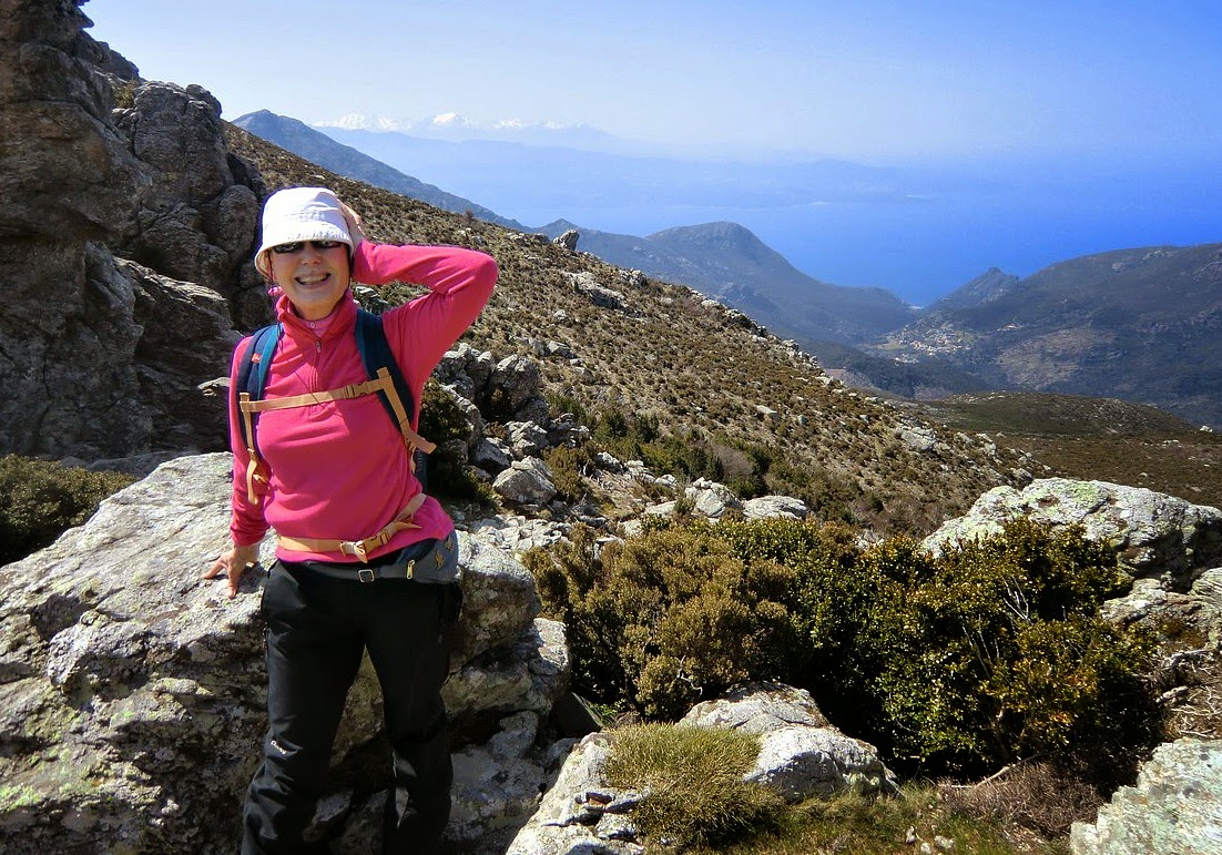
At Bocca di Santa Maria pass with Bay of St Florent in background


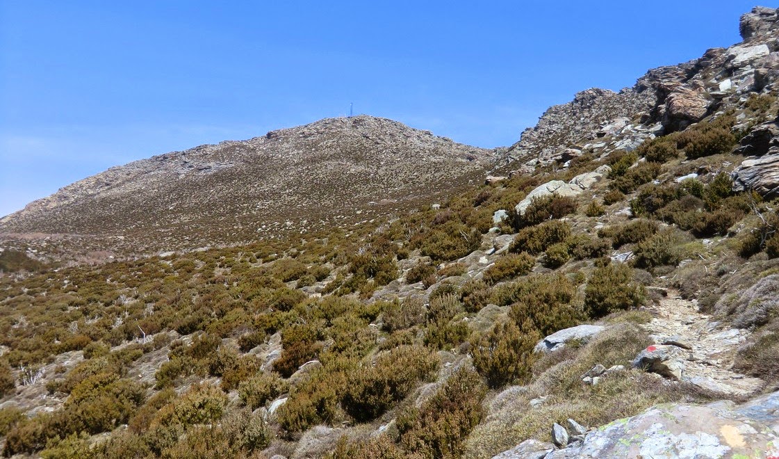
Monte Stello in sight


Total hiking time 6.5 h
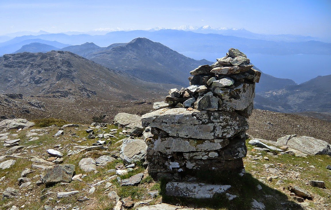
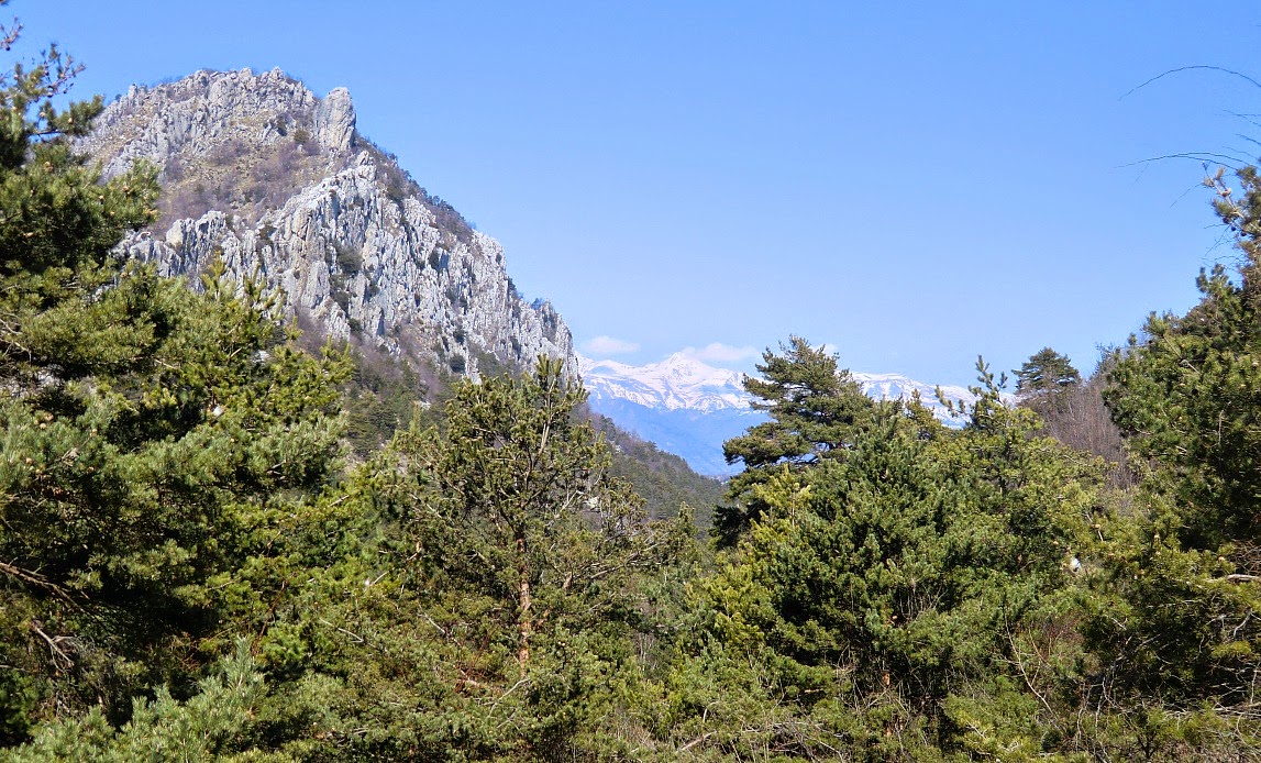
Corsica's highest snow-capped mountains seen from Monte Stello

Total ascent: 1040 m


Map: IGN Cap Corse 4347 OT

Le Grand Mont -the highest coastal mountain on the Riviera


Ascending on the western side of le Grand Mont


Le Grand Mont (1379 m) or Grammondo as the Italians call it is about 6km from the Mediterranean Sea.
The Chapel of St Bernard
It is situated right at the Franco-Italian border and is considered the highest coastal peak on the Riviera. The descending trail is for the most part on the Italian side. The ascent to this dominating mountain is long but does not require any technical skills.


We have previously began the ascent from the narrow road (310 m) leading to Castellar, but this
time we decided to drive as far as to Castellar (340 m) and start from there. Either way, the first part of the ascent is quite long and strenuous.
Ruins of Morga


From the parking at the entrance of the village, ascend along a steep mostly paved road to Col St-Bernhard. This part of the trail is in fact the same when hiking to Roc d’Ormea.
Mercantour summits seen from Colla Bassa


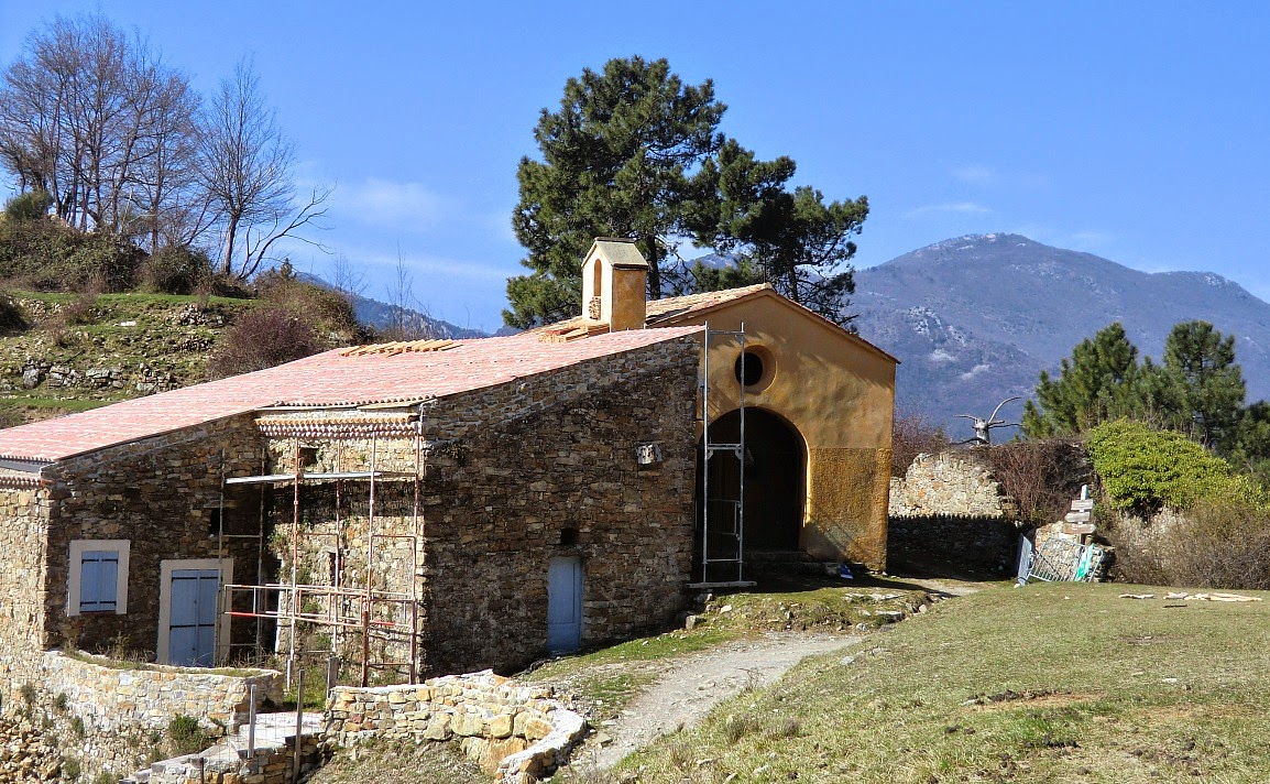
The chapel of Col St-Bernhard has got a new roof recently, but otherwise the restoration is still continuing. Just before the chapel turn right and ascend to the nearby ruins of Morga. From this point, continue ascending along the GR52 trail which later joins a forest track north to Colla Bassa at 1110 m.
Easy scramble to Le Grand Mont


At Colla Bassa turn right and start ascending to Le Grand Mont. Follow closely the yellow signs from this point. Just before the summit, the trail gets steeper and requires some easy scrambling. Some patches of snow were still present in late March.


You suddenly meet the summit on the Franco-Italian
The very last push to the summit of Le Grand Mont
border. There’s an iron cross. On a clear day, you have a great panorama, but on our day there was so much haze that you could barely see the coast. It has to be noted that one should not do this hike in poor visibility.


Continue to the summit on the Italian side, also marked with a cross. From there, descend along a crest to a third cross. The clearly visible trail
The summit of Le Grand Mont on the Italian border
eventually turns west then south descending gently on the Italian side under the mountain ridge and the border.


You will soon come to Pas de la Corne where you’ll cross the border back to France. The trail from here is clear and well marked passing the ruins of Vieux Castellar. Soon after the ruins you reach the same road used on the way up.
Descending on the Italian side of Le Grand Mont


Total ascent from Castellar: 1040 m

Duration: 6 h

Map: IGN 3742OT Nice-Menton Côte d'Azur


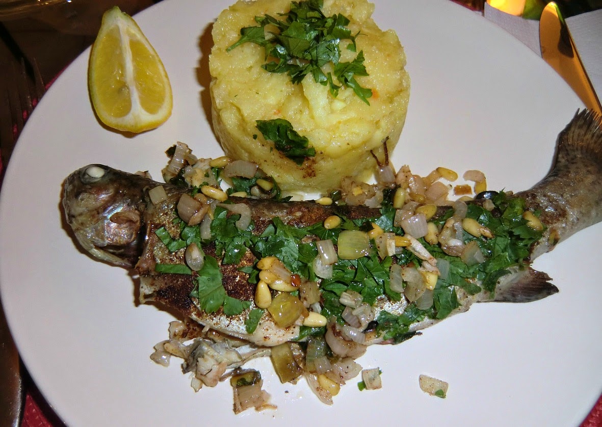
Spicy trout with parsnip pure

Spicy trout with parsnip pure


The French spice mixture quatre-épices was developed in Saint-Malo. It is a mixture of ground cinnamon, ginger, clove and nutmeg so it is easy to create if you don’t find it in your shop. Here in France it is sold in all supermarkets.

As Saint-Malo is famous for its fish and seafood one would think that quatre-épices goes very well with them. However it is not that often one can see fish and seafood recipes with quatre-épices.  So when I came across a trout recipe using quatre-épices I was eager to try it.

The following recipe is my adaptation of that recipe. Saint-Malo is a “butter and milk” region, but I have replaced them with olive oil and vegetable stock according to the Mediterranean tradition. Quatre-épices gives an unexpected twist to this very tasty dish.

2 servings

For the parsnip pure
500 g parsnips
500 ml vegetable stock
2 tbsp olive oil

For the fish
2 small trouts in portion size
2 tbsp rapeseed oil
A handful of chopped parsley
2 small shallots, chopped
½ tsp quatre-épices
2 tbsp pine nuts
50 ml white wine
Lemon wedges to serve

Peel the parsnips and chop them coarsely. Cook them in vegetable stock until soft. This takes about 45 minutes. Keep covered and warm.

In a large frying pan warm 2 tbsp rapeseed oil over medium heat. Fry the trouts for about 5 minutes on one side until golden brown. Turn the trouts and add the pine nuts and chopped shallots in the pan. Sprinkle the quatre-épices over the trouts and cover them with chopped parsley. Continue frying for 5 minutes.

Pour the white wine in the pan. Reduce the heat a little, cover the pan and simmer for 10 minutes. Meanwhile add 2 tbsp olive oil to the parsnips and mash them into a nice pure.
Arrange the trout and pure on the plates and serve with lemon wedges.


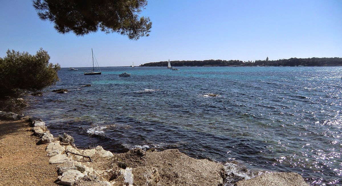
Island of Sainte-Marguerite outside Cannes

Leaving Cannes to Ste-Marguerite


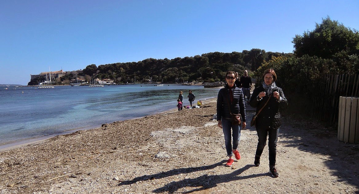
Northern shore of Ste-Marguerite

The two islands Ste-Marguerite and St-Honorat, known as Îles de Lérins, are at only 15 and 30 min ferry rides away from Cannes, respectively. Ferries leave from quai Laubeuf in the Old Port. The smaller and quieter St-Honorat has been owned by monks since the foundation of the monastery in 410 AD. Today we visited the larger island Ste-Marguerite (Ferry 13,50 €) and made a two-hour walk also described in the French Randoxygène
Aleppo pines in Ste-Marguerite
guide.


There are some restaurants and snack-bars at the picturesque harbour of Ste-Marguerite. We were informed already when purchasing the ferry tickets that all of them were still closed in early March.  We were prepared for this with some refreshments and opted for a late lunch in Cannes after the visit. This turned out to be a good choice as we found a small
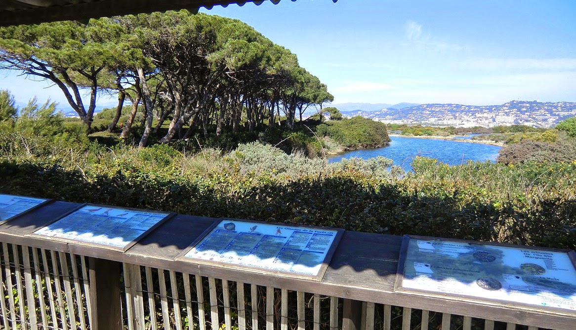
Étang du Batéguier Cannes in background
bistro in the old port. They had an excellent three course lunch menu for just under 19 €! In Cannes, you can apparently  have a Sunday lunch as late as 3 pm.


Many French people seemed to bring their picnic to Ste-Marguerite, and there were tables along the path. That would have been another nice option on this sunny albeit a bit windy day.
Ile St-Honorat seen from the southern shore of Ste-Marguerite


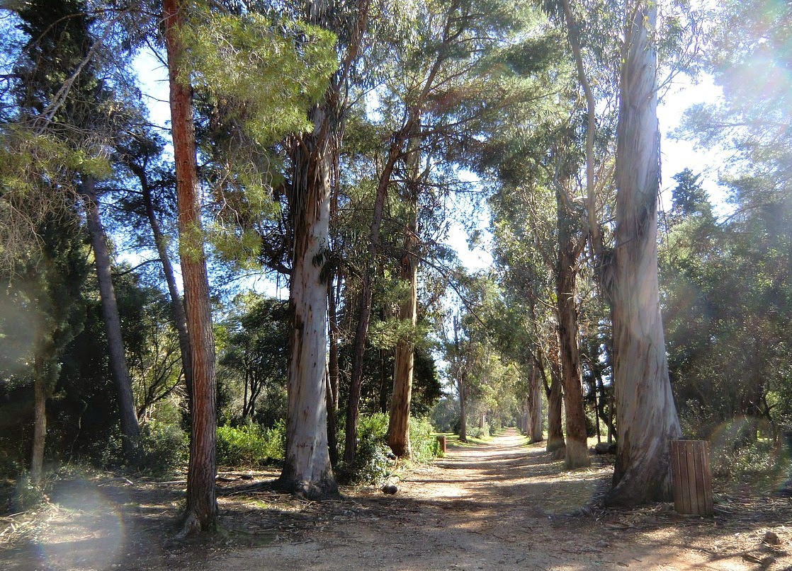
The walk starts from the harbour following the unpaved road to the western tip of the island. The trail goes around Étang de Batéguier, a brackish water pond surrounded by a wood of Aleppo pines. Continue along the southern shoreline to Maison Forestière. At this intersection, turn left and walk along the allée des Eucalyptus back to the harbour.
Southwstern shore of Ile Ste-Margueirte
The walk is pretty short, but you could continue as far as the eastern point of the island and back along the good network of trails.


The main tourist spot on the island must be the Fort Royal. This is yet another fort improved by Vauban during the reign of Louis XIV. The main attraction here is the maritime museum and the prison cell said to have held the mythical Man in the Iron Mask.
The eucalyptus alley in Ile Ste-Marguerite


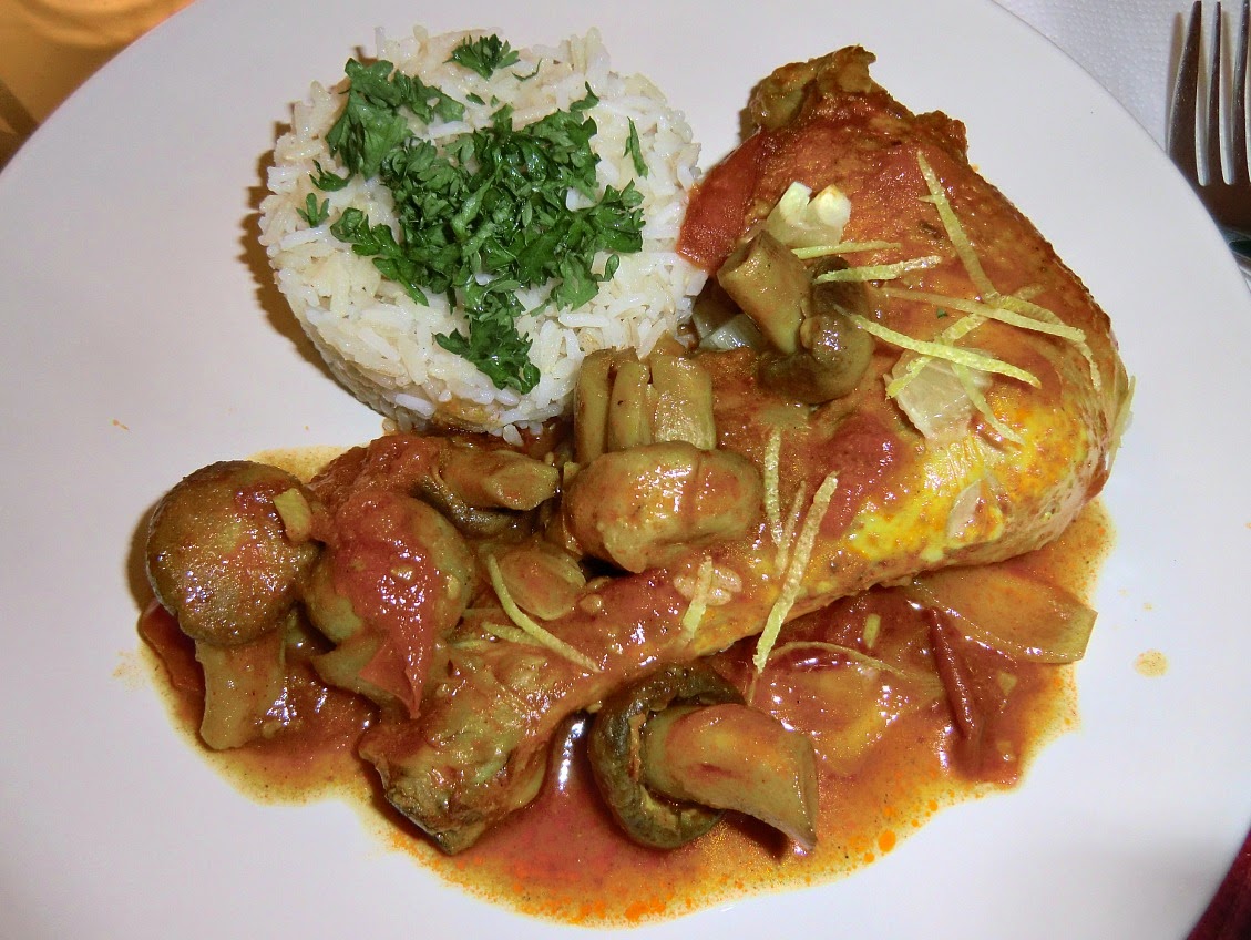
Chicken leg recipe Martinique style

Chicken leg Martinique style


In France I discovered exotic mixtures of ground spices, like Poudre à Colombo, le quatre-épices and others. I recently read in a French magazine about the origins of these spice mixtures. They were introduced to Europe by the people who had worked in India during the colonial times, but they were adapted to the European taste. Le quatre-épices was developed in Saint-Malo. Le Colombo, which is a mixture of turmeric, coriander, fenugreek, cumin, mustard, white pepper and clove, is more aromatic than spicy.

These ground spice mixtures need a long time of simmering for the taste and colours to develop. They are convenient to use, but don’t keep long. The following recipe is a loose adaptation from a recipe in a French magazine. We can imagine that it brings exotic taste straight from the French Caribbean. Those who cannot find Poudre à Colombo in their shops can replace it with mild curry powder.

2 servings

2 organic chicken legs
1 large tomato, chopped
About 16 small mushrooms, champignons de Paris
1 medium onion, coarsely chopped
1 clove garlic, minced
2tbsp rapeseed oil
2 tbsp tomato pure
2 tsp paprika powder
2 tsp poudre à Colombo or mild curry powder
100 ml chicken stock
1 organic lemon
Parsley and zest of ½ lemon to decorate

In a heavy casserole warm rapeseed oil over medium-high heat and fry the chicken legs until nicely coloured on both sides. Wipe the mushrooms and add to the casserole to fry at the same time.

Reduce the heat to medium.  Peel and chop the onion and mince the garlic and add to the casserole. Add the tomato pure, spices and chicken stock, and mix. Chop the tomato and add to the casserole.

Reduce the heat to simmering. Cover the casserole and let simmer for 45 minutes turning the chicken legs a few times.

Meanwhile cook brown rice to accompany the chicken. Wash and chop the parsley. Wash well the lemon and zest half of it for decoration. Then peel the lemon, cut into small pieces and add to the casserole when the dish is almost cooked. Divide on the plates.

Roc de l'Orméa above Menton

View from Roc d'Orméa down to Castellar


This hike starts from the centre of Castellar (main parking, 340 m), a hilltop village only about 5 km north of Menton as the crow flies.

Roc d'Orméa (1132 m) seen from Castellar

Roc  de l’Orméa (1132 m) dominates the landscape above Castellar, and offers a super panorama on a clear day. We did this hike in the end of February, and when we reached the summit, the foggy clouds ascending from the sea diminished the view. Unfortunately, this type of weather is not that uncommon on the eastern French Riviera.

Start the hike from the centre of Castellar and ascend past the chapel of St-Sébastien. Follow the

Castellar

signs, initially yellow, later red and white GR signs, and signposts showing Tour du Roc de l’Orméa.


Continue ascending steeply along a partly paved road to the intersection near Col St-Bernard.  Again, note the signpost at this point, turn sharply right ascending along the trail that soon passes the ruins of Vieux Castellar  (870 m). This village was abandoned in 1435 because of the threat of a

Initial ascent from Castellar village

Saracen invasion in favor of the existing Castellar. The trail is now GR52 and marked with red and white signs.


The ascent to Col du Berceau is continuous and quite steep. The Col which is just under the summit of Roc de l’Orméa can be reached in about 2 h 30 min. From here, the summit itself can be climbed easily in less than 10 minutes.

Ruins of old Castellar

The descent to south is rapid. The intersection of GR52/51 is reached soon. At this point turn right and follow the GR51 trail back to Castellar.


On the summit of Roc d'Orméa


Total hiking time 4 h 20

Ascent 780 m


Map: IGN Nice Menton Côte d’Azur 3742 OT


Description in French can be found here


Leg of lamb Provençal style


Roasted leg of lamb, gigot provençal, is a classic Easter dish in the South of France. The legs of lamb with bone used to weigh about 2- 2,5 kg, enough for six people at least, but our supermarket in Nice now sells also smaller legs weighing about 1,3- 1,6 kg.

In Provence, the lamb is cooked rosé, medium to medium rare. Before roasting it is rubbed with olive oil and flavoured with garlic, black pepper and bouquet garni, which is usually a bunch of thyme sprigs and bay leaves. I have found that roasting in 190⁰ C and 20 minutes per 500 grams works best if you also want to bake a vegetable gratin at the same time. After removing the leg from oven keep tented with foil for 20- 30 minutes before carving.

In Provence, the gigot is typically served with a vegetable gratin, tian.The following simple potato- tomato gratin is perfect in early spring. Later on, the vegetables could be more varied; courgettes, eggplants, bell peppers and so on as they come into season. Gratins made with potatoes need a bit longer baking time, so if your leg of lamb is small you can start with the gratin.

For a small leg of lamb, 3-4 servings

A leg of lamb, about 1,3 kg
2 cloves garlic
About 2 tbsp olive oil
1 bouquet garni made of several sprigs of fresh thyme and fresh bay leaves
Freshly ground black pepper

For a small potato-tomato gratin, 3- 4 servings

3 medium potatoes, thinly sliced
3 tomatoes, sliced
2 fresh bay leaves
Fresh thyme leaves
Freshly ground black pepper
About 500 ml vegetable stock
Olive oil

Preheat the oven to 190⁰ C.

Take the leg of lamb out of the fridge so that it can reach the room temperature before roasting. Start preparing the potato- tomato gratin. Oil well a medium sized oven-proof dish, tian. Slice the potatoes and tomatoes and place them in layers in the gratin dish. Place the bay leaves and scatter the thyme leaves on the middle layers. Finish off with a layer of tomato slices, grind over black pepper and sprinkle with 1 tbsp olive oil. Place in the oven for about 20 minutes while you make the vegetable stock and prepare the lamb.

Peel and slice 2 cloves of garlic. Make small deep cuts into the lamb and insert the garlic slices. Rub the lamb with olive oil and grind over a few rounds of black pepper. Place the lamb in a roasting dish and arrange the sprigs of thyme and bay leaves on both sides. Place the roasting dish in oven and roast for 55 minutes for a leg of about 1,3 kg.

Remove the vegetable gratin from oven and pour in vegetable stock so that the vegetables are almost covered. Continue baking for about 1 hour. Cover with foil towards the end of the baking, if needed.

When the lamb is roasted, remove it from oven and place on a carving board. Tent it with foil and let rest for 20- 30 minutes before carving.

Meanwhile prepare the sauce. Discard the sprigs of herbs from the roasting dish and pour in 100 ml white wine. Scrape up all the bits from the bottom and pour the liquid in a small saucepan. Bring to the boil, and then reduce the heat to low and simmer for about 10 minutes until thickened.

Carve the lamb and serve with the potato- tomato gratin and the sauce.

If you have leftovers from the lamb, they are great next day in a vegetable gratin topped with potato pure; this is called parmentier in French. They can also be added in a vegetable soup.

Veal Osso Buco with orange

Veal osso buco with orange


This recipe is perfect to make when tasty oranges have appeared in our shops. It is slow-food at its best. After two hours in the oven the veal is tender, and meanwhile you have a chance to do something else! The dish is so tasty that we do not add any salt in it. If you wish you can add a pinch of salt at the table.

2 servings

2 veal osso buco, veal shanks with bone, about 200 g each
2 oranges
1 shallot, chopped
1 clove garlic, minced
1 tbsp rapeseed oil
1 tbsp lavender or other runny honey
1 bouquet garni, thyme sprigs and a bay leaf tied together
Freshly ground black pepper
50 ml white wine

Wash and dry one orange. Grate the zest and set aside for decoration. Cover with film. Then peel the orange, divide into sections and remove the tough membranes surrounding the sections. Set aside on a plate, cover with film and place in the fridge.

In a heavy casserole, cocotte, warm the rapeseed oil over medium heat and fry the osso buco until golden brown on both sides. Add the shallot and garlic in the casserole. Spread the honey over the osso buco.

Preheat the oven to 150⁰C.

Press the other orange. Add the juice and bouquet garni to the casserole. Grind a few rounds of black pepper over the osso buco. Cover the casserole and place in oven for 2 hours.

When 15 minutes of the cooking time remains, add the white wine and orange sections in the casserole.

Divide the osso buco on the plates and decorate with orange zest. Serve with steamed new potatoes and Brussels sprouts.


Ascent to Puy de Tourrettes -snow above Côte d'Azur


The summit plateau of Puy de Tourrettes


The hike starts from the small village of Courmes  (630 m) above the Loup River Valley. It is a quiet village
The village of Courmes and the Loup River Valley
surrounded by oak trees and terraced pastures. 

We did this hike on a gorgeous day in late February. After recent snowfall in higher terrain, the northern slope and the summit of  Puy de Tourrettes (1268 m) were still covered with snow. The summit is just about 14 km from the Mediterranean Sea at Cagnes-sur-Mer as the crow flies. There was more snow than we had expected as the mountain seen from the coast seemed to be almost bare. The layer was nevertheless very hard after previous night’s frost making the ascent easy without any need of snow shoes. You could walk almost anywhere!

Villages of Cipieres and Greolieres seen from the trail


Park your car at the entrance of the village at the visitors’ parking. The first signpost number 88 to St-Barnabé is right behind the parking. St-Barnabé (968 m) is a tiny hamlet on a vast plateau west of Col de Vence. The first part of the hike follows the GR 51 trail as far as signpost 83. There leave the
red and white GR trail temporarily and follow the trail left (yellow marks) zigzagging uphill and eventually joining the GR 51 trail again. Head north along this trail for a while. At signpost 85, leave the GR and turn south ascending towards the mountaintop. From this intersection, you have about 300 m vertical climb left. Note that the trail is now marked with cairns, heaps of stone, and sporadic faded yellow marks. However the path is clearly visible as it is used quite a lot.
Turning right at signpost 85 towards the summit
Ascending to Puy de Tourrettes
Nice seen from Puy de Tourrettes


The summit of Puy de Tourrettes offers –not surprisingly- a super panorama. The geographic summit is not distinct at all as the mountaintop actually comprises a large plateau. The summit is marked with a big heap of stones.

The geographic summit of Puy de Tourrettes

The usually helpful Randoxygène guide had this hike in the old version, but it has now been replaced by a hike to Pic de Courmettes, the neighboring mountaintop.  The same applies to the online guide.


Duration 3 h 45

Ascent    650 m  Map: IGN Cannes Grasse Côte d'Azur 3643 ET 


There are 2 more Baous above the French Riviera

Baou des Blancs seen from Baou des Noirs


We have previously described hikes to Baou St Jeannet (800 m) and Baou de la Gaude (796 m). Baou is a Provençal word meaning a rocky limestone hilltop with a flat summit.
Starting the hike to Baou des Blancs and Noirs

Above the town of Vence there are two more baous: Baou des Blancs (673 m) and Baou des Noirs (678 m). You can easily hike to these two hilltops during the same day as they are quite near each other, the itinerary is well marked and only a modest ascent, around 300 m, is required. It is a good winter hike too. We did it in early January 2015.

Both baous are marked with a black iron cross. These remind us of the Christian past in the middle ages when Penitents had an important role in assisting people in the mountains.
Spring flowers in January near Baou des Blancs


Drive through Vence and take the RD 2 road leading to Col de Vence and Coursgoules. Park your car alongside the road about 6 km before Col de Vence. There are several small parking spots.

Depending on where you parked the car, you have to descend 0-400 m along the RD 2 road until you
Baou des Noirs and Baou St-Jeannet
see a good path running above and parallel the road. Follow this, go around a bergerie, a sheep farmhouse and follow the signposts to Baou des des Blancs. From the summit, you have a great panorama over the coast, and even a glimpse of the snow-capped high mountains of Mercantour.


Descend back along the same trail a little bit to the
Great panorama over the coast from Baou des Noirs
signpost showing the path towards Baou des Noirs. The trail heads north climbing a little bit then turns east. The yellow marks are numerous and navigation easy. Not surprisingly, the views are great from this baou as well. Here you can enjoy the nature and admire the acrobatics of eagles. Descend back to the RD 2 road along the same trail.

Total walking time: 3 hours

Map:  Cannes Grasse IGN 3643 ET