Cime de la Valette de Prals hike

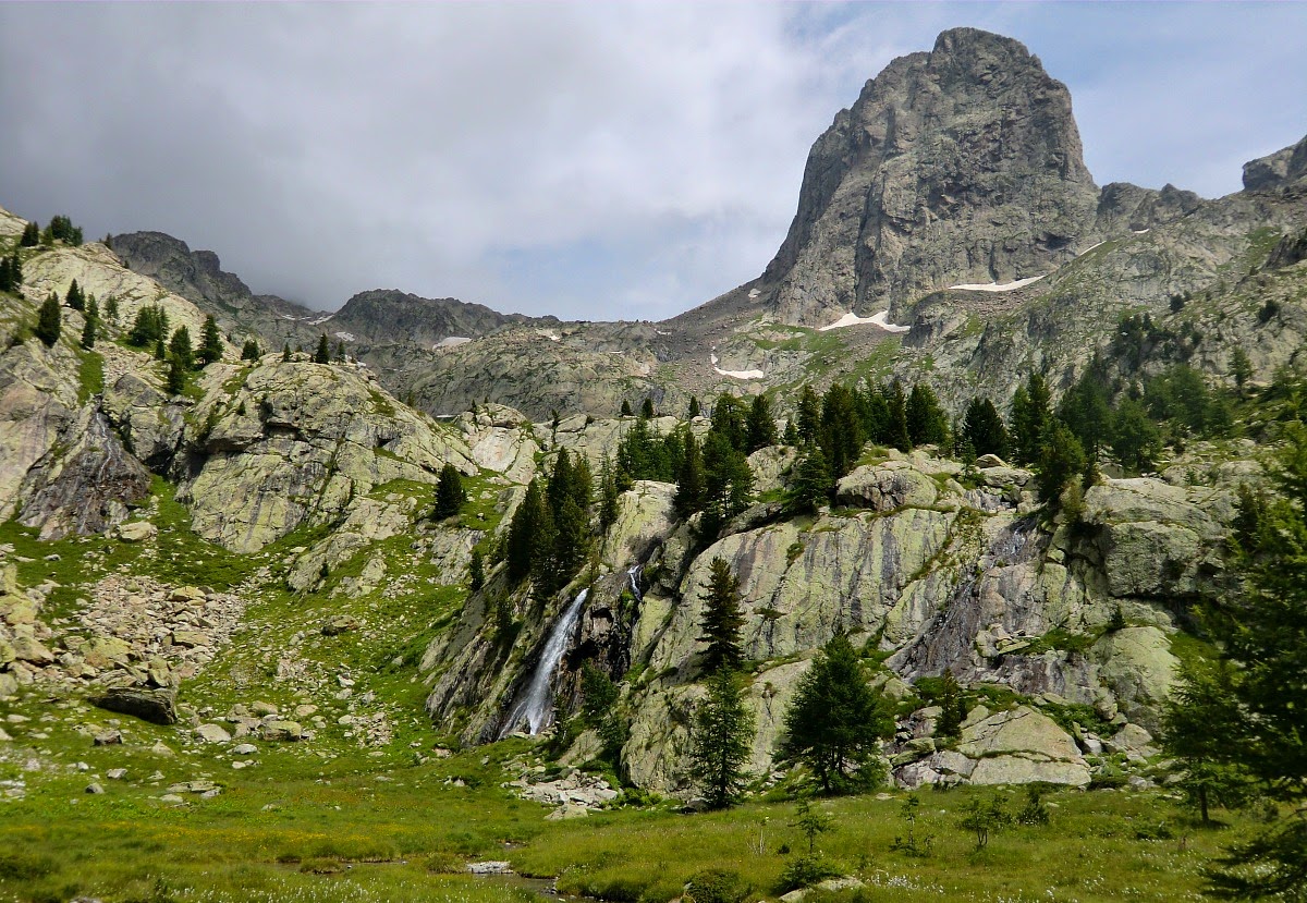
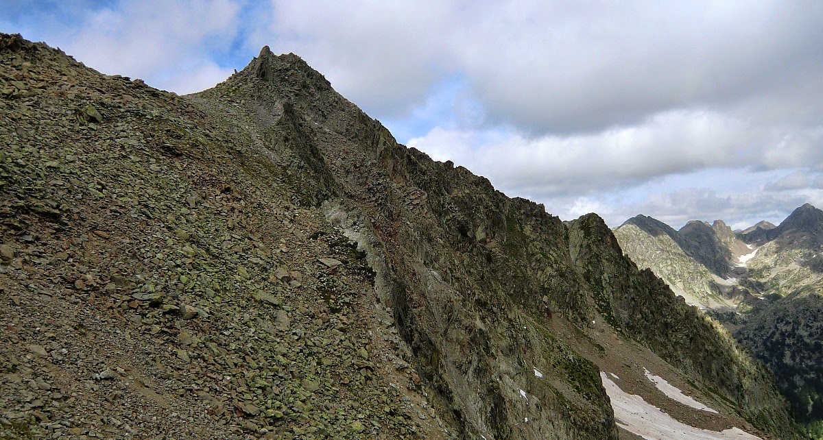
Summit of Valette de Prals with Gelas in background


Madone de Fenestre (1903m, link in French) about 70 km from Nice and 13 km from the village of Saint-Martin-Vésubie is a super starting point for many hikes. Some of these are for all family members, some are demanding enough for experienced alpine hikers.

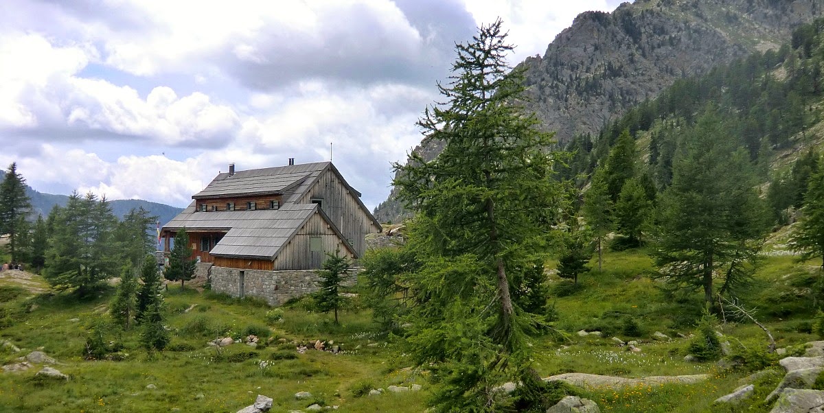
When we drove through Saint-Martin-Vesubie, the village was preparing for its annual L’Animal en fête in honour of the animals. The cows are groomed and decorated with flowers; there are agricultural demonstrations and cheese tasting. We drove further along a pretty good road and parked  a few hundred meters before the sanctuary of Madone de Fenestre.


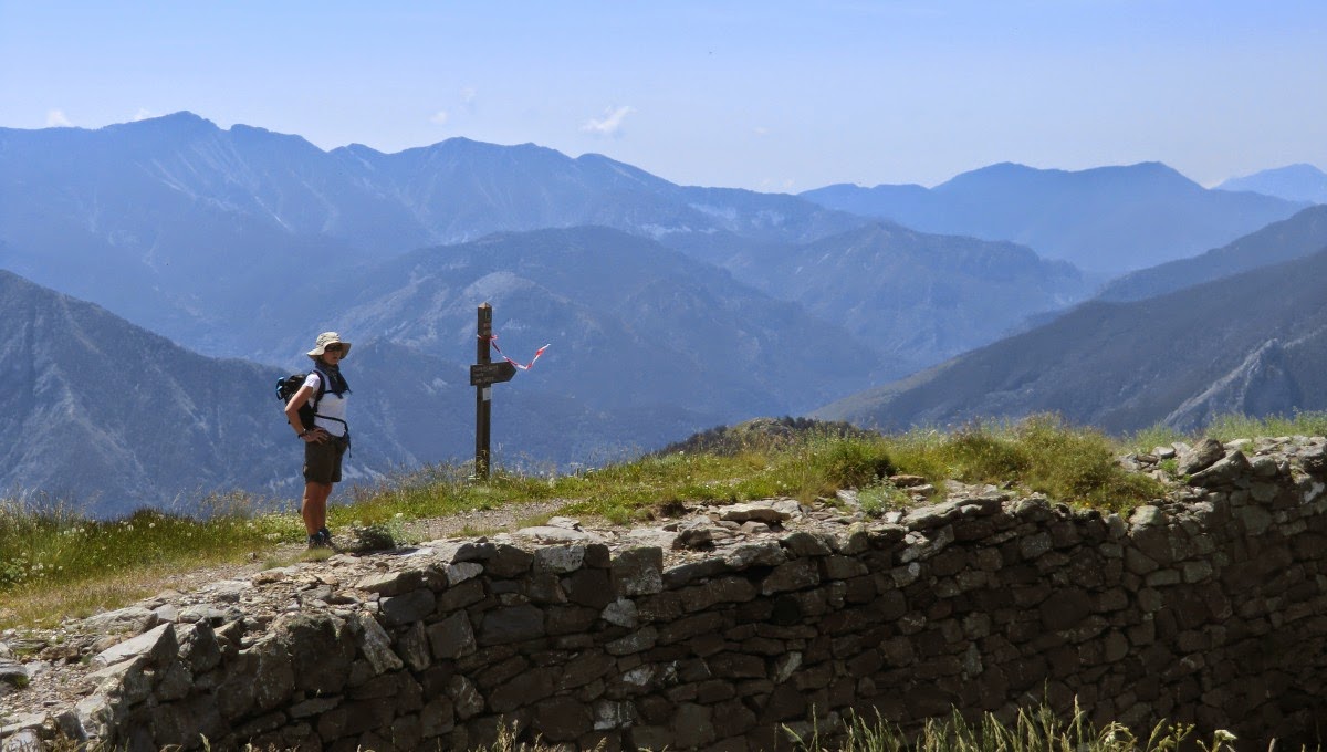
Our hike started from signpost 361, where there is limited parking. More space can be found near the sanctuary. We first ascended in the Prals Valley following the same path leading also to the lakes of Prals up to signpost 364 (2130 m). From there we took the path to the right and ascended to signpost 365 (2340 m). We again turned right, climbed to Baisse de Prals and further to Cime de la Valette de Prals (2496 m). The summit is marked by a cross, and offers a super panorama.

From the summit we followed the path on the long ridge (about 4 km) northwest, descended a little and turned north for a while. The trail then continued just under Cime du Pertus (2437m). We then passed Tete de la Lave (2360m) and continued west to signpost 297 and Baisse de Férisson (2254m) below Mont Lapassé (2351 m). Those with extra energy are welcome to climb all these nice little summits along the route!

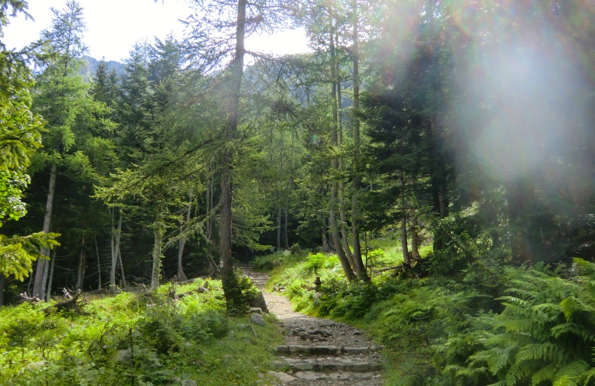
From there we had a super view towards the Valley of Madone de Fenestre and Cime du Gélas. We then descended in a magnificent forest back to signpost 361.

Total hiking time: about 5 h-5  30. Driving time from Nice about 1 h 25.

Total ascent: 740 m

Map: Vallée de la Vésubie IGN 3741 OT. All the the signposts are marked in this map.


Grilled lamb recipe

Grilled lamb recipe


The Mercantour National Park 70- 100 km north of Nice has about 600 km of marked hiking trails. Just the French Randoxygène guide book lists 60 hikes in Haut Pays, 60 in Moyen Pays, not all of these trails are inside the National Park. There are even more options by improvising and using other guide books. So we usually drive from Nice, hike for 4- 6 h in super surroundings and return home for dinner.

After a long day in the mountains the dinner ingredients must be stocked at home, the dinner has to be simple and quick to cook, healthy and preferably have some connection with the mountains. I like to use ingredients that are typical of arrière-pays; chick peas, dried herbs and lamb. And combine these with plenty of antioxidant-rich vegetables; bell peppers, tomatoes, onions, garlic, and a green salad as a side dish. Grilled slices of lamb leg, sautéed bell peppers, shallots and garlic with chick peas, tomato paste and dried Provencal herbs satisfy all these requirements.


Grilled lamb recipe

2 servings

2 nice slices of lamb leg, tranches de gigot, about 150 g each
4 tbsp olive oil
1 red bell pepper
1 yellow bell pepper
2 shallots
1 clove garlic
A 400 g tin of chick peas
3 tbsp tomato paste
50 ml water
1 tsp dried Provencal herbs
Freshly ground black pepper
Fresh parsley or other fresh herb to decorate

Wash and dry the bell peppers and cut them into strips discarding the seeds and interior white membranes. In a frying pan warm 2 tbsp olive oil over medium- high heat. Fry the bell peppers, stirring now and again, until they have got some colour.

Peel the shallots and garlic clove. Thinly slice the shallots and mince the garlic. Reduce the heat to medium- low and add the shallots and garlic in the pan. Gently cook for about 10 minutes, stirring occasionally.

Meanwhile wash the parsley and dry with kitchen paper. Finely cut the parsley and set aside.

Add 3 tbsp tomato paste, 50 ml water, and 1 tsp Provencal herbs to the pan, stirring well. Wash chick peas under running water and add to the pan. Mix well all the ingredients. Cover the pan with foil and let stew gently while you cook the lamb.

In a large frying pan warm 2 tbsp olive oil over high heat. Fry the slices of lamb leg 2 ½ minutes on both sides for medium rare. I like them to be pink inside. As the French chefs say: “On les deguste rosé.” Place the lamb slices on a wooden cutting board, cover with foil and let rest for a few minutes.

Divide the vegetable- chick pea stew on the plates and decorate with parsley. Serve with a green side salad.

Hike around Col de la Cayolle


The automobile road through Col de la Cayolle mountain pass (2326m) was completed in July 1914. A great opening ceremony was planned months in advance. President Poincaré would drive in a convoy from Nice to Barcelonette on the 10th of August and have a lunch at Col de la Cayolle. The préfet gave detailed recommendations; it would not be any banal family picnic, but a sumptuous lunch comprising langouste, gigot d’agneau et meringues with champagne, fine wines and cognac served by the Hôtel de Paris from Monaco.

 But the European political situation worsened rapidly leading to WWI. On the 29th of July the president cancelled the opening ceremony. An official opening ceremony was never held but Col de la Cayolle has now well served drivers during the summer season for one hundred years.

 Our hike in these historical surroundings starts from signpost 284 just after entering the Mercantour National Park. You can park at Refuge de la Cantonnière just above the hamlet of Estenc or at the entrance to Mercantour. The trail ascends nicely in a larch forest to the cabins of Sanguinière, and then further to Col de la Boucharde (2539m) which is the highest point of this hike.

The trail then crosses a small plateau and descends down to the Cayolle- Barcelonette road. Follow the road about 500m, and then ascend to the Refuge of Cayolle along GR 56 marked with red and white signs. The trail is elsewhere marked with yellow signs. From the refuge ascend to Col de la Cayolle and signpost 300. From there start descending back to the starting point, signpost 284.

This is a great hike! We made it in the beginning of September on a gorgeous sunny day. The ascent to Col de la Boucharde is almost continuous but moderate and the descent from there to the Cayolle- Barcelonette road is a bit steep, but there are no difficult parts on the trail.

The views are fantastic all the way and the surroundings very variable. The peaks of Mont Pelat (3050 m) and Cimet (3020 m) are visible during the descent from Col de la Boucharde. The peculiar summit of Roche Grande (2752 m) dominates the view on the way back to the starting point. The only minus is the long drive from Nice; about 2 h depending on the traffic. But there are many small hotels in villages in the Haut Var Valley. The last hotel, Hôtel/Restaurant Le Relais de la Cayolle,is in Estenc just before Col de la Cayolle (www.valdentraunes.fr). Total ascent: 870m

Total hiking time: about 6 h

More information in French here

IGN Map: Haute Vallée du Var 3540 ET

Hike to Refuge de Cougourde in Mercantour

Summit of Cougourde 2921 m


www.lonelyplanet.fr (link in French) recently listed the Mercantour National Park  among the world’s 10 most beautiful National Parks. A well deserved nomination although not presented as such on their English web sites. There are 600 km of marked hiking trails within the park. The nearest major point of entry is only about 70 km from Nice. This is where the Alps end and meet the Mediterranean Sea.

Today’s hike starts from the upper parking of Boréon from signpost 420 (1670 m alt.)  Boréon just a few km north of St-Martin-Vesubié is a popular point of entry to Mercantour.
GR52 trail ascending from Boréon


The trail is good ascending nicely in a variable terrain to signpost 424. The only drawback was that the trail was quite soiled by cow excrements!

From signpost 424 we first ascended to Refuge de Coucourde at 2100 m. We recommend that you actually walk a little bit past the refuge. There is a beautiful and peaceful spot for picnic just opposite the steep Cougourde mountaintop (2921 m). It is a great place to spot chamois as well, we saw them twice.
Culprits for soiling our trail


Chamois in sight

From signpost 426 near the refuge we took the trail to Lake Trecolpas (2150 m). From the lake there’s a great view to Cime d’Agnelliere (2700 m), a peak we recently ascended, and to Pas de Ladres which is the mountain pass to the next valley and Madone de Fenestre.


Refuge de Cougourde


This is a great hike for almost everybody. Many families were out. Only some parts of the trail require certain agility. In spite of its popularity, it is always possible to find a peaceful spot in the nature. The views are truly great!
Cime d'Agnelliere 2700 m


Ascent: 500 m

Duration: 4 h
Lake Trecolpas


Description in French here


Courgette gratin


Courgette gratin


Tian, a gratin, is a traditional Provençal way to prepare vegetables. Tian is also the name of the ovenproof dish in which the gratin is prepared.

I have read a charming story about the traditional baking time of tian: it corresponds to the length of time it took to bake bread in a communal oven. In the old times, people usually did not have own ovens at home in small villages in Provence. Various tians, tarts, stews and so on were prepared at home and then taken to public ovens or commercial bakeries to be cooked. For practical reasons, the cooking times had to roughly correspond to the time it took to bake the bread.

I have seen various tian recipes. They usually consist of vegetables, eggs, freshly grated parmesan or gruyere, milk and/or crème fraîche and/or rice. The choice of vegetables varies according to the season and availability.

The best courgette for this gratin is the round and firm courgette de Nice. It does not release water during cooking or turn to mash, and it does not have seeds!
Ingredients for 2 servings of tian de courgettes


Courgette gratin, tian de courgettes
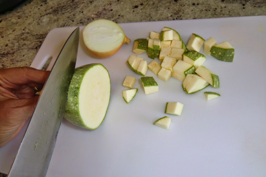
Slicing and dicing the courgettes and onions into small cubes


2 servings

1-2 round courgettes de Nice
1 very large or 3-4 small leaves of chard, blette
½ medium onion
1 clove garlic
About 3 tbsp olive oil
2 sprigs of parsley
Freshly ground black pepper
2 eggs
100 ml milk
1 tbsp crème fraîche, 15 % fat
Cutting the chard into strips
About 3-4 tbsp freshly grated parmesan
3 tbsp breadcrumbs

Preheat oven to 180 ⁰C.

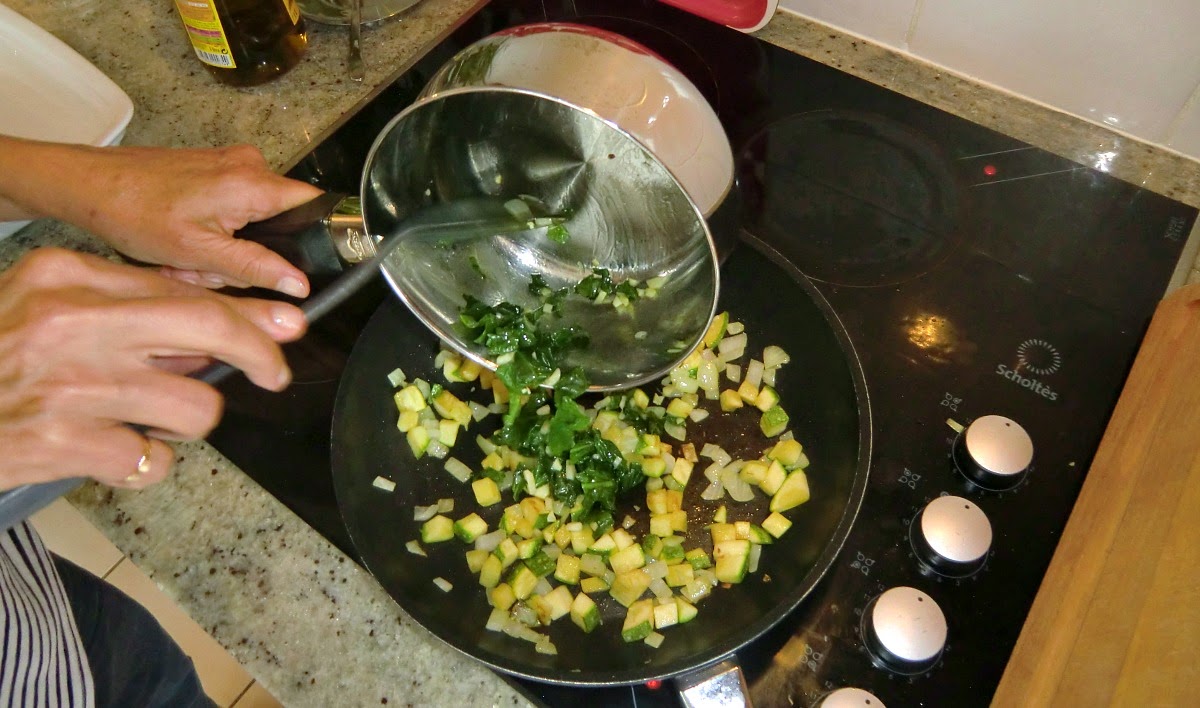
Slice and dice the courgettes and the half of onion into small cubes, about 1 x 1 cm.
Warm 1 tbsp olive oil in a frying pan over a medium heat, and cook the courgette and onions for about 5- 7 minutes until soft and slightly golden brown. Set aside.
Adding the wilted chard into the courgette-onion mixture

Wash and dry the chard leaves and remove the stems. Cut the leaves into strips. Over a medium heat, warm 1 tsp olive oil in a casserole. Peel and mince the clove of garlic, add to the casserole. Add the chard strips, and cook for a few minutes until wilted. Add the wilted chard to the frying pan and mix with courgette and onion cubes.

Mince the parsley.
Coating the oiled dish with breadcrumbs

Oil a small- medium gratin dish with 1 tbsp olive oil. Coat the dish with 1 tbsp breadcrumbs.

Cover the bottom of the gratin dish with a thin layer of courgette- onion- chard mixture. Season with black pepper, scatter a little parsley over the vegetables and sprinkle with 1 tbsp parmesan. Repeat the process until all the vegetables have been used, there will be 2- 4 layers depending how much vegetables you are using.

Layering the vegetables and the parmesan in the gratin dish

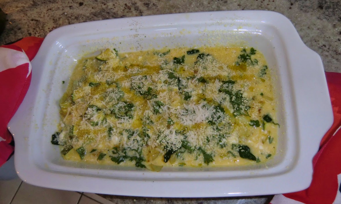
Beat the eggs with milk and crème fraîche. Then pour the mixture evenly on top of the vegetable layers. Sprinkle with 2 tbsp bread crumbs and 2 tsp olive oil.


Bake the gratin for 20- (25) minutes in 180 ⁰C.

The tian is ready for oven


Tip: With my French breadcrumbs, Tipiak Chapelure Dorée, it is very easy to get a nice golden brown colour on the crust of the gratin. This because the breadcrumbs have been added a dash of turmeric and paprika powder!


Cime de l'Agnellière from Madone de Fenestre

Summit of l'Agnelliere in sight


It was already 28th of July, and we could finally make a hike in the Mercantour National Park.
This winter’s record snowfall caused a late start for the summer’s hiking season in the high mountains. On top of that daily afternoon showers or thunderstorms have been hitting the mountains in July. Even for today rain was forecasted in the Vésubie valley.

So we made an early start and chose the summit of Cime de  l’Agnellière (2700m) (Link in French) as today’s goal, because it can be reached from Madone de Fenestre (1903m)  in about 2,5 hours.


The hike starts from signpost 357 right behind the Refuge of Madone de Fenestre. The trail ascends rapidly along the GR (Grande Randonnée) 52 marked with red and white signs.

Just before the mountain pass Pas de Ladres (2448m) at signpost 428 the trail turns left to the summit of l’Agnellière. The first part of the ascent is quite easy followed by a plateau, but the last scramble to the summit was a bit hard in the rocky incline. We descended back to Madone along the same trail.

Total ascent: About 800m. Link to the map here (IGN 3741 OT Vallée de la Vésubie)
Duration: About 4h 30.


Easy Red Mullet Nicoise

Easy red mullet Nicoise


This carefree recipe has all the typical flavours of niçoise cooking: olive oil, white wine, garlic, tomatoes, small black olives, lemon and basil. These are tasty and heart healthy ingredients.
These flavours combine very well with rouget, red mullet, which is a popular fish in Nice. In the old times, the people in Nice simply fried whole fresh red mullet in olive oil. The fish was not even cleaned. Nowadays it seems that people prefer fish fillets. Luckily red mullet fillets are regularly available in local supermarkets.


Easy red mullet niçoise

2 servings

About 300 g red mullet fillets
1 small onion, chopped
1 clove garlic, finely chopped
1 tsp dried Provencal herbs
Freshly ground black pepper
2 large ripe tomatoes cut into wedges
50 ml white wine
1 lemon, cut into wedges
2 tsp capers
2 tbsp black olives of Nice.  NB! In restaurants in Nice they do not remove the stones!
About 2 tbsp olive oil
Fresh basil

In a frying pan warm 1 tbsp olive oil over low- medium heat and gently sauté the onion and garlic for about 10 minutes until soft but not brown. Then pour in the white wine, add pepper and Provencal hers, and reduce the heat to very low, almost off.

Preheat the oven to 180 ⁰ C.

Place the red mullet fillets in an oiled ovenproof dish. Press over a little lemon juice from a lemon wedge, save the rest for serving. Scatter the olives and capers over the fish fillets. Then pour over the white wine- onion sauce. Scatter the tomato wedges over the fish fillets, add some more black pepper and drizzle 1 tbsp olive oil over the tomato wedges.

Bake for 15 minutes.
Decorate with basil. Serve with lemon wedges and micro waved new potatoes.

Hiking from Courmayeur to Rifugio Maison Vieille


Today’s hike is actually a small part of Tour de Mont Blanc (TMB). At our hotel in Dolonne- Courmayeur, they suggested taking the ski lift to Rifugio Maison Vieille, but we said we wanted to walk up there as the plan was to do a half-day hike from the town anyway.
Starting the ascent at Dolonne


Mont Chetif


The ascent from Courmayeur to Rifugio Maison Vieille is about 750 m.

Great views from the trail
The initial part after the town is a nice path zigzagging in a forest. The trail is good, but the continuous ascent so steep that the French would classify it as rando sportive. We met several hikers descending along the trail, but only us ascending because the TMB is usually done anti-clockwise. After the forest the trail continued along an easy dirt road in alpine meadows.


Approaching Rifugio Maison Vieille


For us, it took about 2h 15min from Dolonne-Courmayeur to Maison Vieille, where we had lunch. We opted for well-made polenta with mushrooms or sausages plus a mixed salad. The service was friendly, they spoke good English and the restaurant seemed to be popular among local workmen as well as hikers. All in all, it felt like more authentic local cuisine than in most restaurants down in Courmayeur.


Rifugio Maison Vieille


After lunch the wind increased and there were more clouds, so we decided to head back to Courmayeur although climbing to Mont Chetif (2343 m; picture above) was planned initially. About 750 m almost continuous ascent was nevertheless a good workout in beautiful surroundings and fresh alpine air.

Descending through Dolonne


Easy stuffed vegetables Niçois style

Easy stuffed vegetables Nicois style


Small stuffed vegetables, les petits farcis niçois, are a classic dish in Nice. There is not any “one and only” recipe to make these, but almost every grandmother in Nice has “her” recipe for the stuffing. This dish could be very time-consuming as sometimes a different filling was used for each of six vegetables! This kind of cooking was for the courageous small ladies of Nice who were not afraid of spending the whole day in kitchen and preparing a true fête.

Basically, locally grown or processed ingredients were used: vegetables, herbs, eggs, cheese, sometimes a bit of meat, sometimes wild mushrooms. Rice was often used in fillings to stretch out the small amount of meat or ham.

My easy, modern twist of this classic recipe is inspired by a plat du jour, dish of the day we once had for lunch at le Gustoso in Cour Saleya in the old town of Nice. And I guarantee that you don’t need to spend a whole day in the kitchen!

NB! Nowadays, it is difficult to find small vegetables that were used in the classic recipe. Even here in Nice, the Spanish imported bell peppers seem to be huge. If you can’t find small vegetables, you may very well reduce the variety of vegetables from the classic six. Large aubergines often have hard skins and can be replaced by green bell peppers.
Ingredients for two servings of stuffed vegetables Nicois style


2 servings

1 small aubergine or green bell pepper
1 small red bell pepper
1 medium round tomato
1 small round courgette
1 medium onion, peeled
Olive oil
About 150- 170 g lean minced beef, pref. 5% fat
1 clove garlic, minced
Freshly ground black pepper
¼ tsp salt
1 medium free-range egg
5 tbsp freshly grated parmesan
1 tsp Provencal herbs
2 tbsp breadcrumbs

Wash the aubergine and cut it in half lengthways. Scoop out pulp from it with a spoon and set aside.  Leave about 1- 1,5 cm shell.
Halve the bell pepper lengthways, remove ribs and seeds.

Microwave the peeled onion for 2- 3 minutes in a covered small dish with 1 tsp water. Then drain and cool. Cut it in half crosswise and remove the centre, leaving a shell of about 3 layers. Set aside the centre of the onion.

Halve the courgette crosswise and scoop out pulp, leaving about 1- 1,5 cm shell. Set aside the pulp. 

Cut the tomato in half crosswise, scoop out the pulp and set aside.
The prepared vegetables ready for filling


Chop all the scooped out vegetables and mix them. In a large frying pan, warm 2 tbsp olive oil over low- medium heat. Cook the vegetable mix for about 5 minutes, stirring frequently. Add the minced beef and garlic, season with salt, pepper and Provencal herbs, and continue cooking for about 15 minutes longer, stirring occasionally. Remove the pan from heat, allow to cool slightly. Then stir in the egg. 

Preheat the oven to 180⁰ C.

Arrange the vegetable shells on an oiled baking tray. Fill each shell with stuffing.

Grate the parmesan and mix with breadcrumbs. Scatter the mixture on top of the vegetables. Then drizzle with olive oil, 1- 2 tsp per vegetable.
Stuffed vegetables ready to go to oven


Bake for about 30- 40 minutes in 180⁰ C or until the vegetables are tender.

Serve lukewarm, because then the vegetables are tastiest. They make a nice lunch or simple supper served à la Gustoso: place a heap of small salad leaves, mesclun, in the middle of the plate and arrange the stuffed vegetables around the salad. Drizzle olive oil and vinegar over the salad and serve with good bread.


Between France and Italy above the Tende tunnel

Starting point at Chalet de Marmotte


The Tende mountain pass has been the simplest connection between the Mediterranean and Piemonte. It was first a mule track created in 1652, and in 1782 the road was completed. The road tunnel was completed in 1883 and the rail tunnel in 1898. Because of this, the ancient mountain pass was almost totally abandoned. The current border on the ridge was determined in 1947.
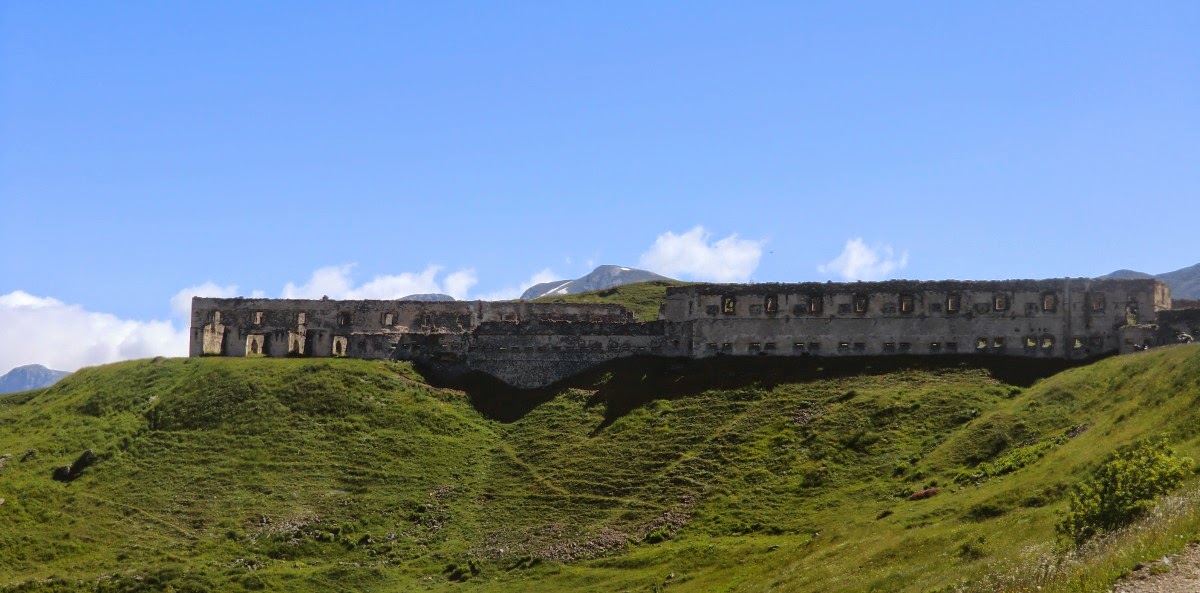
Fort Central


Today’s hike starts from the parking (1804 m) at Chalet de Marmotte above Limone 1400 ski resort on the Italian side of the border. The parking can be reached by following a good paved road Trois Amis just after the tunnel on the Italian side. Drive through Limone 1400; follow the road to the refuge.
Great views after Fort Central


Walk first along a good unpaved road to the geographical mountain pass of Tende (1871 m), signpost 340. From there, follow a dirt road east to the central fortress (Fort Central) to signpost 339.
Leaving GR52A at Fort Tabourde

Fort Tabourde


Continue along a good trail to the Tabourde fortress, signpost 335. Up to this point the trail is Grand Randonnée 52A marked with red and white. As far as to this signpost, the walk is easy with negligible ascent offering nevertheless great views in a calm alpine setting.
Crossing the Framoursoure valley
The new trail ended to this unnumbered signpost (about 2100 m)


From this point the trail continues to east now marked with yellow signs. After about 500 m or so it reaches the Framoursoure valley heading north. A sheep pen is on the right hand side. At this altitude, parts of the trail were still covered with snow. It seemed that the route had been recently modified, on the web site just a week ago whereas the latest printed version (2013) had it already updated. The previous longer trail would have turned southeast ascending to the Pépin fortress. Now the yellow signs took us to a new unnumbered signpost(the guidebook says it's 337A) at about 2100 m. This signpost also showed the way to the Pépin fortess.
Mercantour peaks barely visible because of gathering clouds

Following the border crest between France and Italy


We, however, turned left and started descending as the area was more and more enveloped by clouds and the wind was increasing. We suspected that this recent trail change might have been made because of sheep flocks. Sheepherders allegedly use the Pépin fortress as a shelter. There have been several bloody attacks by wolves in the region.
Rhododendrons starting to blossom


We made the hike in early July, and rhododendrons were just starting to blossom. The descent back to the starting point was straightforward. We could admire the great views and flowers –clouds permitting.
Map of the hike


Duration: 4 hours, vertical gain about 450 m. Map: IGN 3841OT Vallée de la Roya; Info in French: Les Guides Randoxygène: Haut Pays 
Map courtesy of Conseil Général des Alpes Maritimes